A nature reserve on the western edge of Beit-Hakerem valley. It is centered around a hill with a unique double-hump form with an ancient fortress on top of it.
Home > Sites > Beit Kerem > Har Gamal (Camel hill)
Contents:
Background
Location
History
Photos
* Har-Gamal
* Eastern peak
* Center
* Western Peak
* Yizhar valley
* South
Camels
Etymology
Links
Background:
The nature reserve of Har Gamal (Mt. Camel) is located on the south-western edge of the Beit-Kerem valley. In its center is a 324M high hill with a unique double-hump form resembling a camel (hence its name).
On its north side is a cluster of caves (called Pigeons caves) with remains of prehistoric dwellings. It is detailed in another web page.
Location:
The aerial map below shows the site, in the center, from a north orientation. The ancient route passed along the Itzhar (Yitzhar) creek, passing near the caves.
To get to the hill, turn left when arriving from Acre to the Gilon/Tzurit junction and park above the pigeons caves. Then, follow the white-red-white signs down thru the caves and then up the hill – a really steep climb.
Alternatively, there is a road that starts from the gas station and circles around Har Gamal its south side, but still requires a steep climb to get to the cliffs. The path is painted with white-green-white signs.
* Caution: Walking on the cliffs of Har Gamal requires care – please watch your step.
History:
The site has a long history of over 50,000 years:
-
Prehistoric periods
Check the special page on Pigeons caves.
-
Israelite period – Iron Age
An ancient small guard post or fortress is located on the top of Har-Gamal, perhaps from the Israelite/Iron age. It protected the trade road along the Yizhar (Itzhar) valley from Acre through the valley of Beit-Hakerem towards the east. This Bronze/Iron Age route was designated as “G6” by Dorsey’s “The roads and Highways of Ancient Israel”, although he did not detail this section of the road.
The guard post may have been used also for fire signaling in conjunction with other sites. It is in direct line of sight with Har- Ha’ari at the eastern edge of the valley (see Beit Jan web page), Neiel on the south side and Tell Akko towards the western plains. This was a common method of communication used for military and religious alerts . In Jeremiah 6:1 there is an excellent text that refers to Jerusalem, but may be applicable to this site as well, which also overlooks the Beth Haccerem valley: “… and set up a sign of fire in Beth Haccerem: for evil appeareth out of the north, and great destruction”.
-
Roman/Byzantine period
The settlement relocated during this period to a lower and more accessible site, 1.5KM to the east, in a site named Khirbet Gilon. It is in ruins today, and is easily reached from the Gilon junction.
-
Modern times
In 1979 the area of Har-Gamal was defined as a nature reserve. The area around the site is freely accessible to the public, and is a famous site for rappelling on the face of the Pigeons cave.
A new settlement was established in 1980 – Gilon – located on the south-east side of the Byzantine ruins.
In 2000, during the Galilee riots, the forest on the south and east side of the hill was burnt down, wiping out most of the trees.
Photos:
(a) Har-Gamal overview:
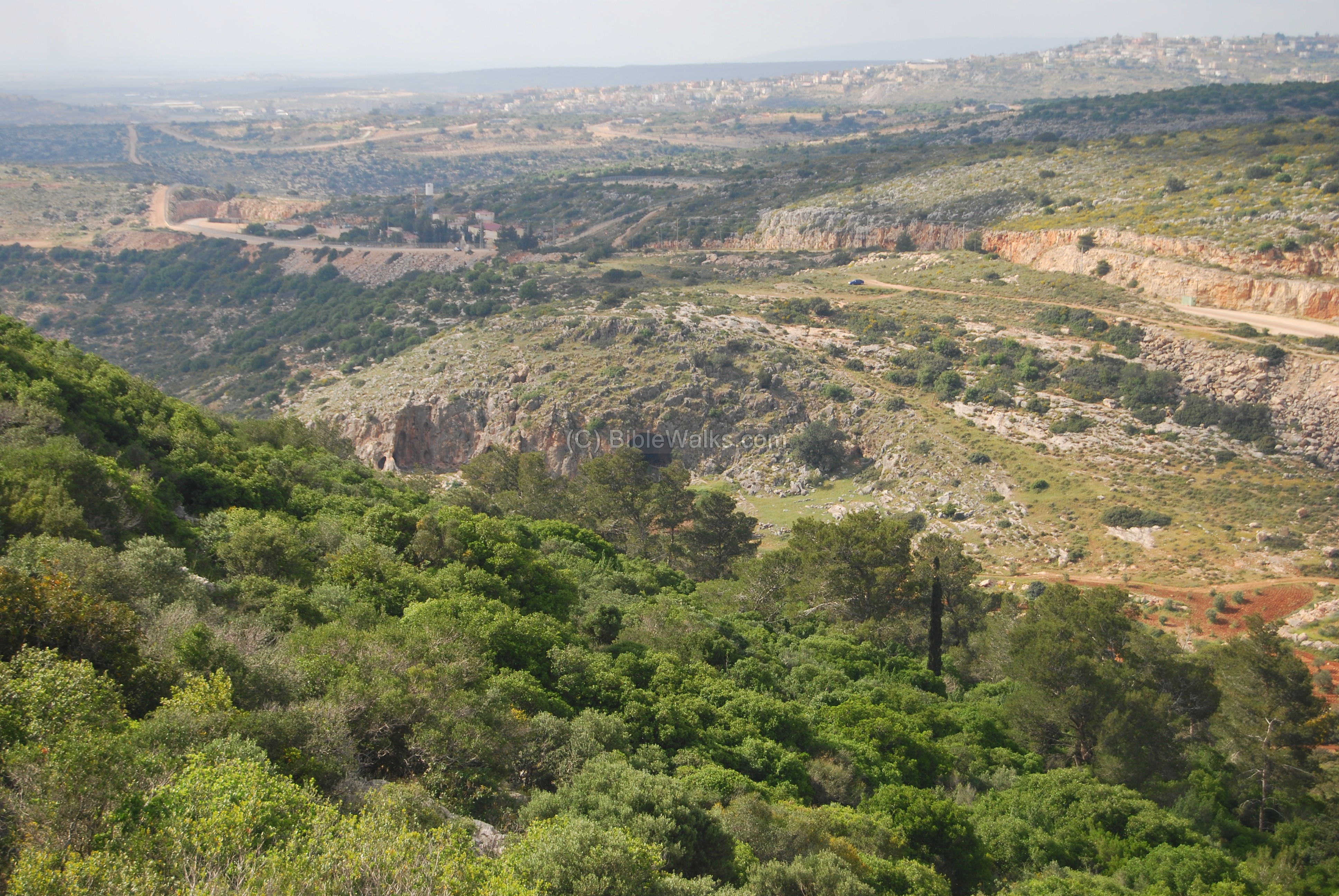
Har-Gamal, with its unique double-hump form, is seen from the entire region. The photo below shows the hill from a location east of Acre, about 10KM to the west. The Arab village of El-Makr is seen in the foreground.
Click on the photos to view in higher resolution…
A closer view from the north side of the hill is seen in the photo below.
A panoramic view of this side is seen below, as viewed above the pigeons caves. Clicking the photo will download the photo, but this make take a long time.
(b) Eastern peak:
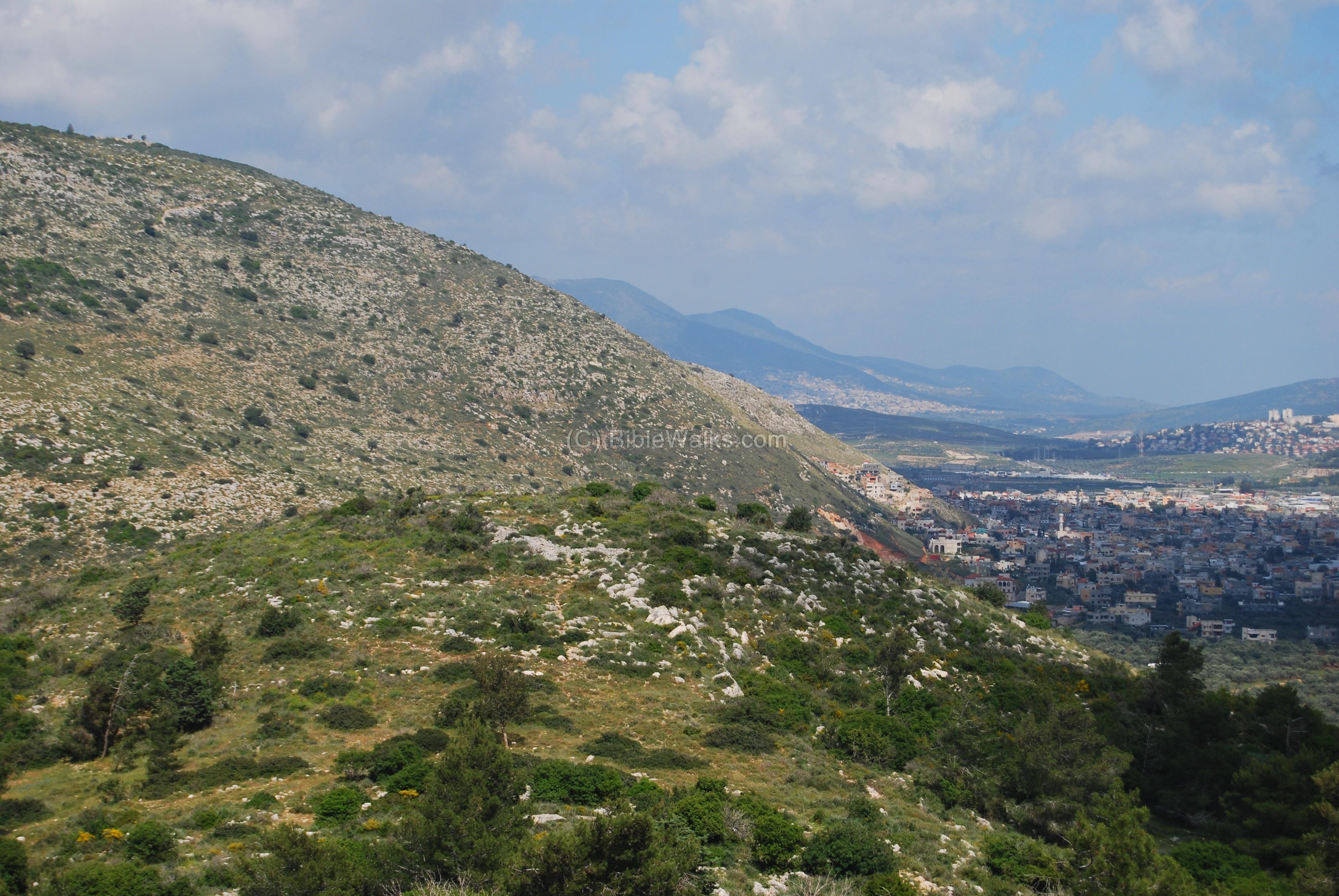
The eastern “hump” has a great view of Beit-Kerem valley. In the foreground is a smaller hill (308m height) which has some traces of ruins. Behind it, in the background, is the Arab village of Majd-El-Krum. In the right background is the large city of Karmiel, and in the center of the far background is the high hills of Beit Jan.
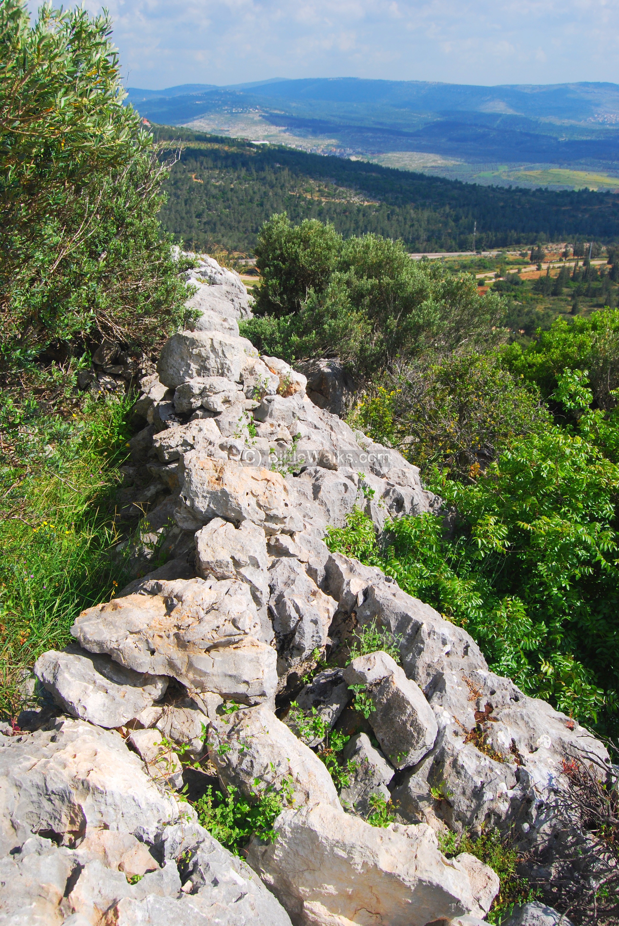
Around the peak are walls of an ancient fortress or guard post, probably of the Iron/Israelite period.

Another section of the wall, on the south side, is seen below. In the background is the top of the Biblical city of Neiel (Tell Yanin).
We can hypothesize: If Neiel was part of the region of Cabul, which King Solomon handed to Hiram (as per 1 King 9:11-13) , then Neiel was part of the Sidon/Tyre controlled Phoenician area. Therefore, the fortress on Har Gamal may have been a western outpost of the Israelite Kingdom which kept a watch over the Phoenician region.
Near the wall is a small water cistern, which may have been used for storage of water. Perhaps a deeper cistern was located nearby with a larger capacity of water, and its water were raised into this small reservior.

The photo below is a view from the west towards the eastern peak.

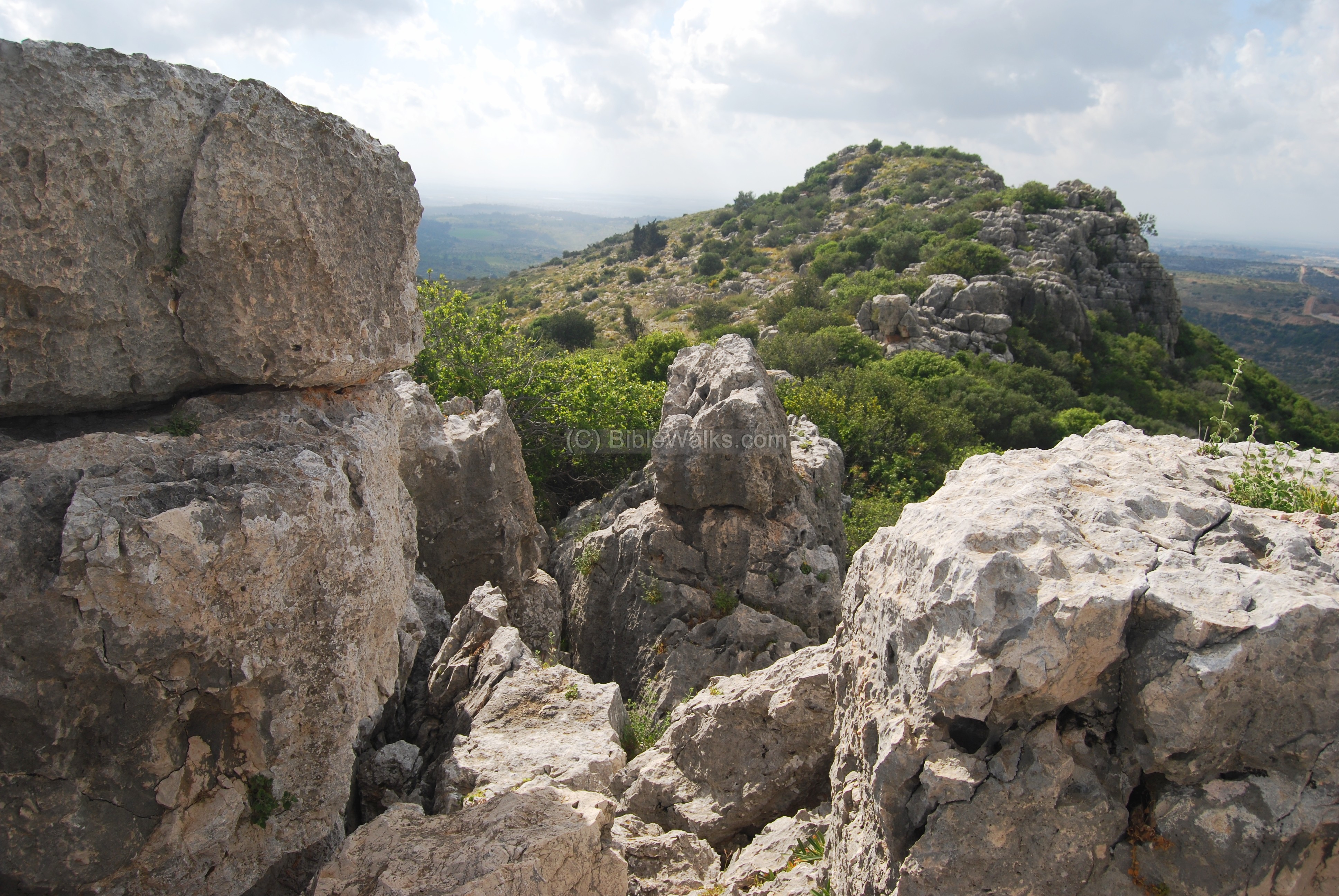
(c) Center:
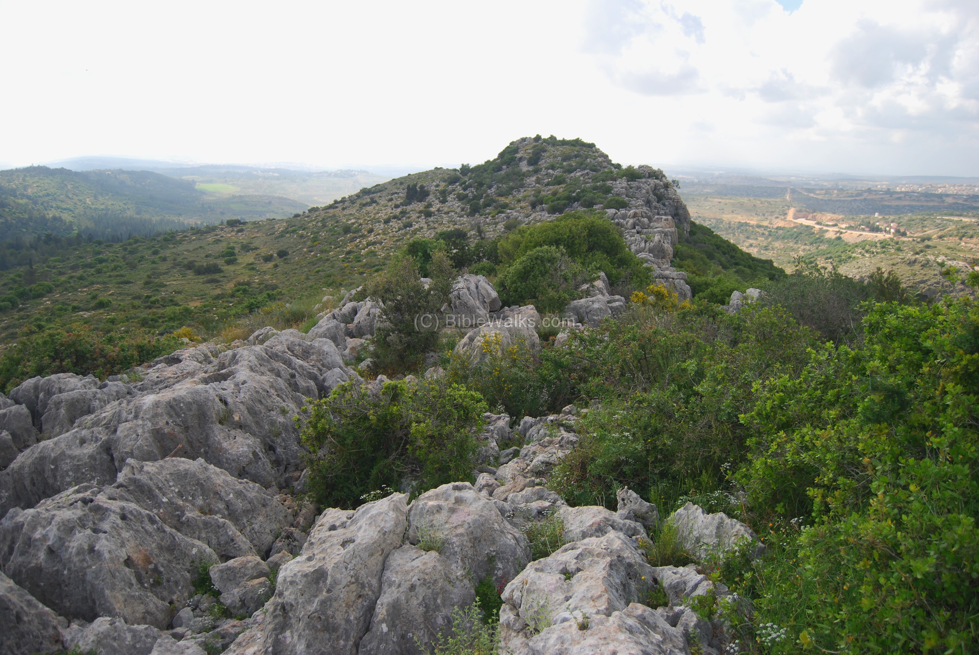
All along the top of the hill is a narrow line of rock – the spine of the “Camel”. On the north side, facing the Yizhar valley, is a very steep slope. On the south side – the left side of the photo – there is a more graduate slope. The center between the two “humps”, seen below, is slightly lower than the two peaks on each side.
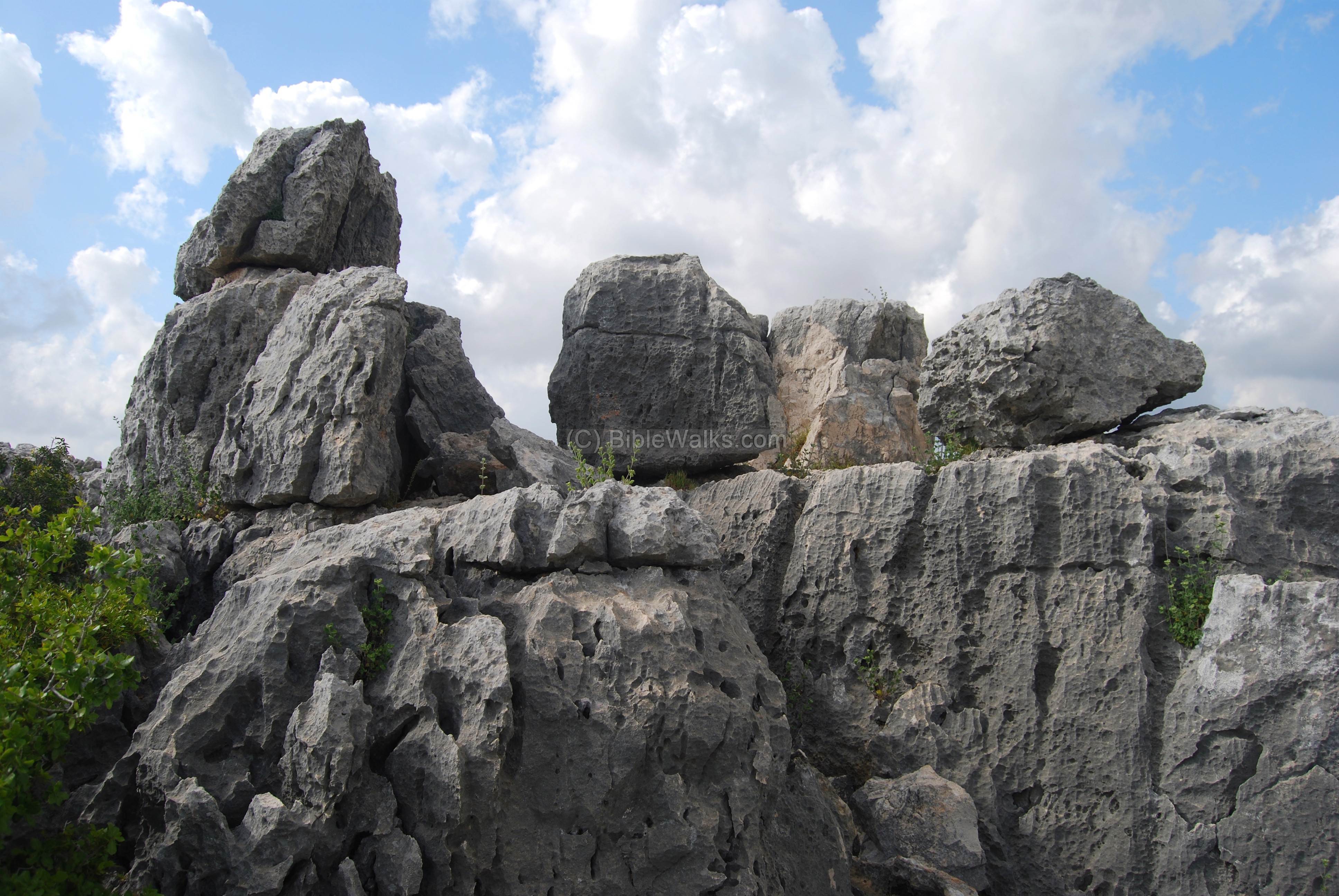
Halfway between the peaks is a tall rock base which looks like a watch tower. This square base, seen below, measures about 3M square and is about 3M high above the rocks around it. A number of huge rocks are standing around its sides, and provide a comfortable place to stand in its center.
This raised platform may have been linked to divinity, as high places and mountains often were. A monolith may have been mounted on top of the base during ancient times. It may have been later smashed due to the Biblical commands to dismantle all the Canaanite and Pagan altars.
The photo below is a view from the “tower” towards the north-west. Notice how deep the valley of Yizhar – a drop of 125M over a range of 250M. The cave in the center is on of the pigeons caves, and behind it in the far background is the Druze village of Yarka.
(d) Western peak:
From the “tower” is a great view of the entire site. The photo below shows the western peak.
Yet another view of the western peak is seen below.

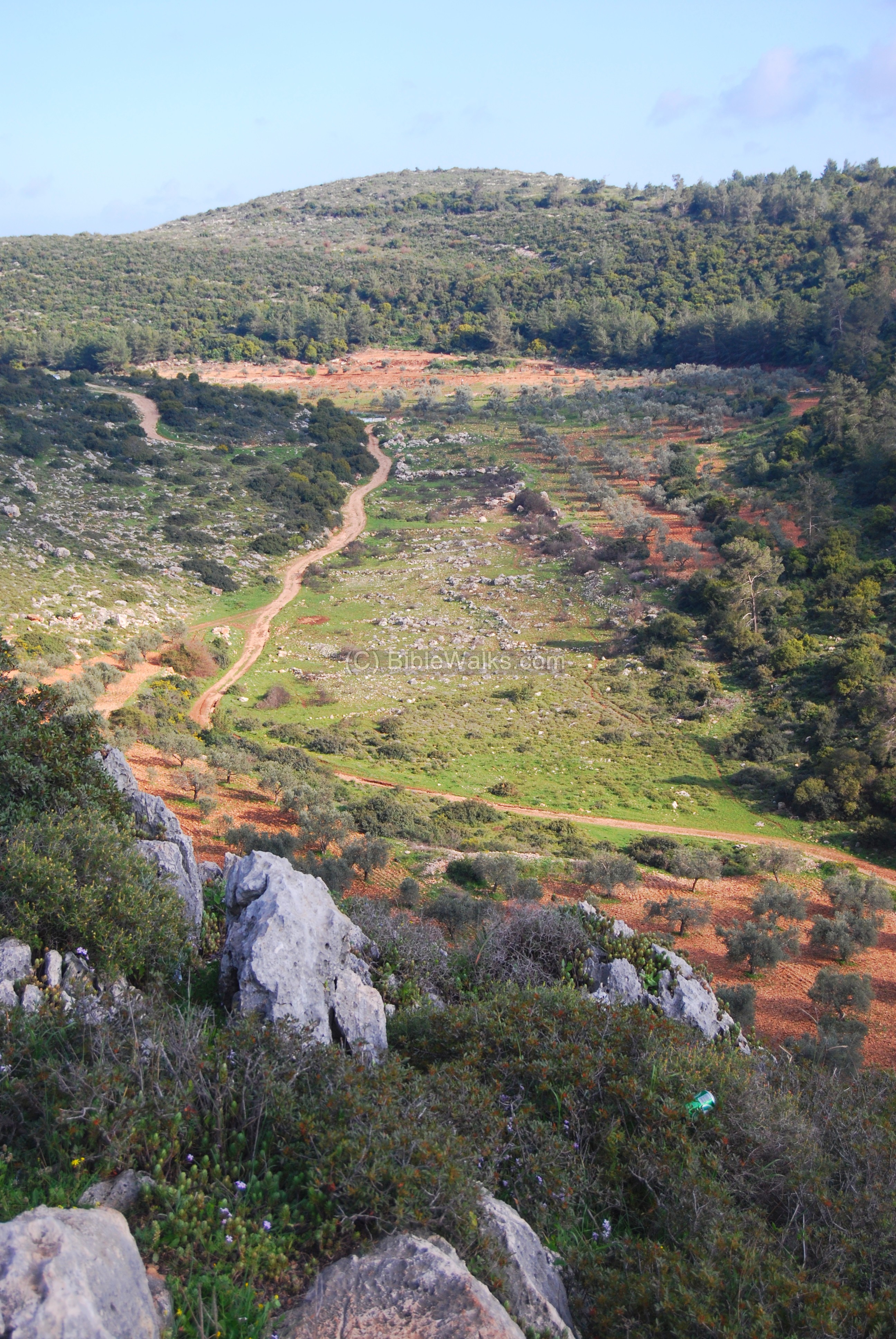
(d) Yizhar valley (north-east):
The Yizhar valley on the north-east side of the hill is seen below, with traces of ruins in the center. The dirt road passing the valley may have been one of the routes of the ancient roads from Acre to the upper Galilee, since it provides a relative small slope ascending the 250M height difference from the plains of Acre to the valley of Beit-Hakerem.
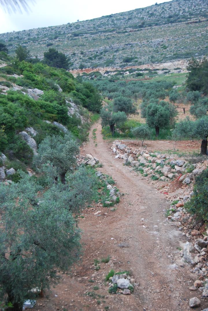
A view of the ancient road, at a point closer to the Beit Hakerem valley, is seen below.
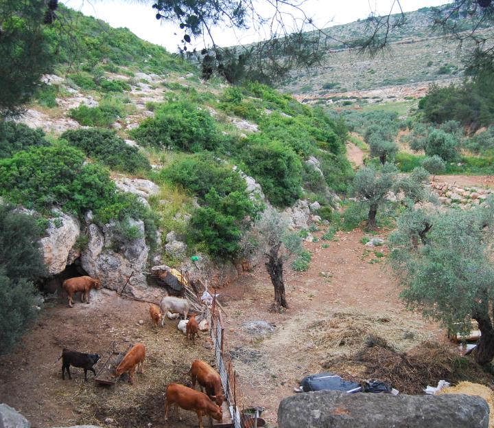
At the eastern side of the creek, blocked by the modern road, is a cattle pen and a cave.
(e) South-West side:
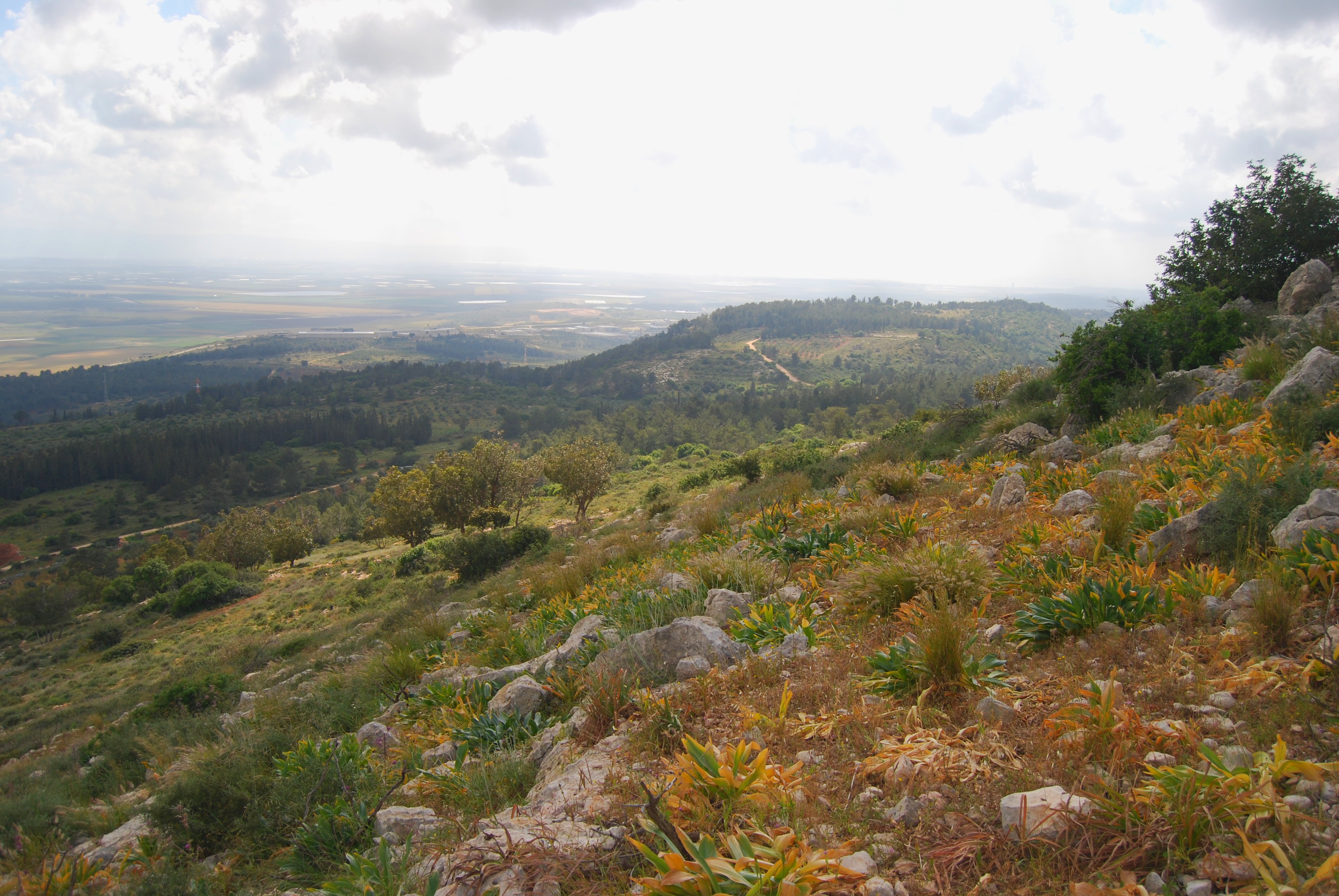
A view of the southern side of the hill is seen in the photo below. This side faces the bay of Haifa (left background) and the plains of Acre (right background), although the sun haze makes it difficult to see these details.
The hillside is mostly barren due to the fire in year 2000 that wiped out the forest. Charred trees and bushes can be seen, an evidence of the tragic event.
Camels:
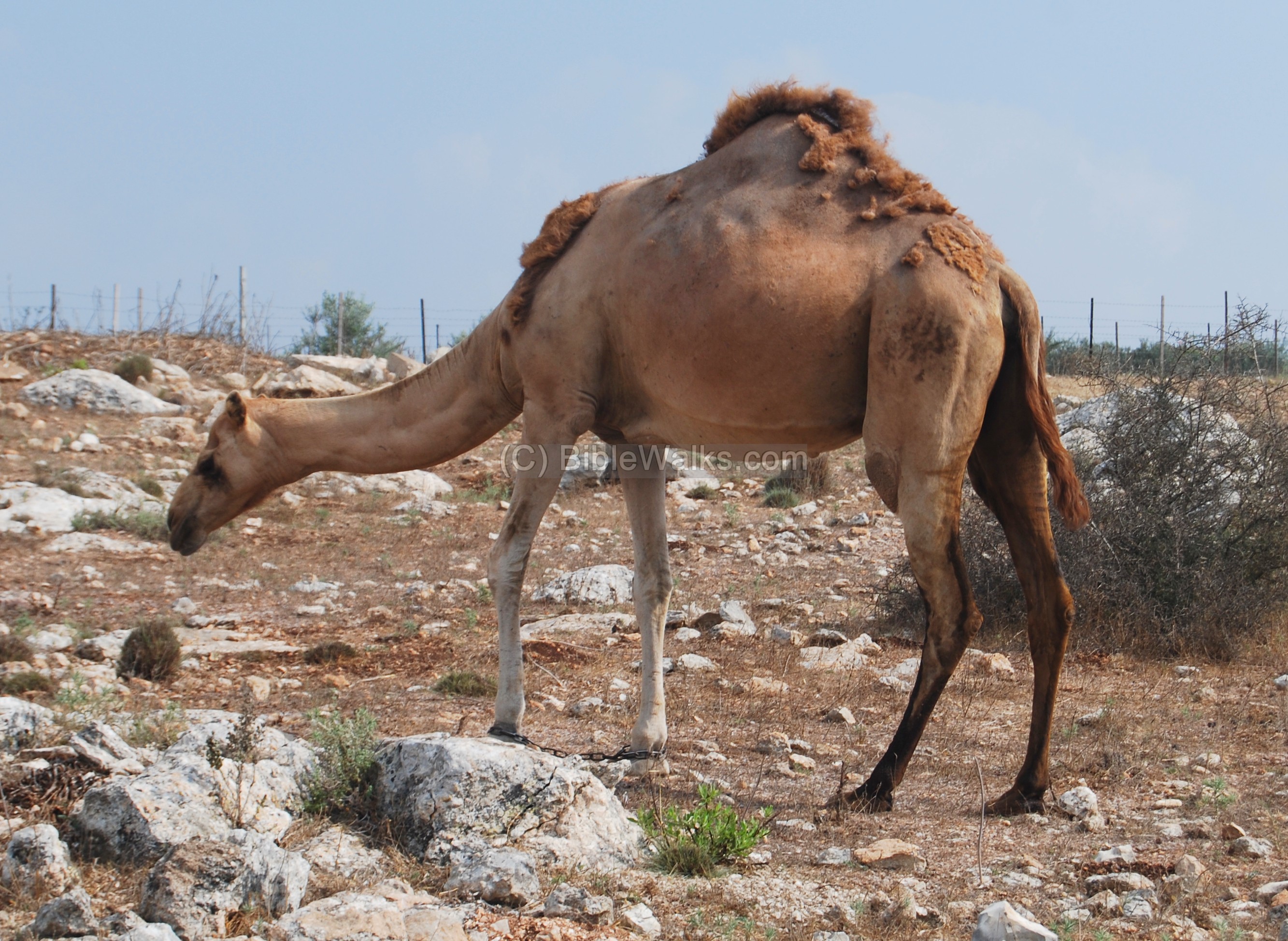
- Double vs Single hump
The double-hump camels are not native in Israel. Their natural home is the desert area of central Asia.
A single hump camel (Gamal in Hebrew), which is the only common Israeli type, is seen in the photo below (it was taken in Zarzir, a Bedouin village near Tell Shimron).
-
Biblical references
The camel was one of the main transportation vehicles in the Biblical times, and is referred many times in the Bible while describing property (the camel was an important asset) or travel. Their ability of carrying heavy cargo due to their strength, the ability to handle the dry conditions of the desert area with few stops for water – made them the best pack animals in the ancient times. A typical number of camels (50,000!) and relative ratio to other beasts (25 more times than asses) can be seen in a description of the battles of Reuben tribe against the Hagrites (1 Chronicles 5 21):”And they took away their cattle; of their camels fifty thousand, and of sheep two hundred and fifty thousand, and of asses two thousand, and of men an hundred thousand”.
-
Form of the letter Gimmel
The third letter in Hebrew, Gimmel, has a form of a camel and its name shares the same letters. 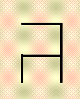
Therefore, we can assume that camel may have been the source of the form of this letter.
-
Gamal in English
“Gamal” is retained with little variation in all languages: The Hebrew word was transformed in Greek to “Kamelos” and then it came to be “camel” in English as a shorter form. (Reference: Hebrew detective).
The Hebrew root word “Gamal” also means “pay back”. This is based on the virtues of the camel – its advantages as a pack animal, and the benefits it provides – milk, meat, leather, hair.
Camels – AI generated by Stable Diffusion
Etymology (behind the name):
- Har Gamal – Hebrew for “Mt Camel”: Gamal – Camel (since it has a form of a double-hump camel); Har – mountain
- Yizhar creek (Itshar) – Hebrew for high quality olive oil; the name of the creek on the north side of Har-Gamal. Named after the olive oil production in the area. Its Arabic name is “Wadi El-Amik” – the deep valley. It is indeed deep between the mountains.
- Beit-Kerem (Beth-Cerem) – Hebrew: House of the vineyard.
Links and references:
Har-Gamal:
-
“Looking for the Source” article by Jack Elliot, identifying Har-Gamal as the source of Michener’s great novel
-
Pigeons caves – web page focusing on the caves
-
Gamal Hill – in Makhtesh Ramon, Negev
BibleWalks.com – touring the sites of the Holy Land
Beit Kerem (gallery) <<<All Sites>>>—next Beit Kerem site—>>> Pigeons caves
This page was last updated on Apr 21, 2023 (add AI illustration)
Sponsored links: