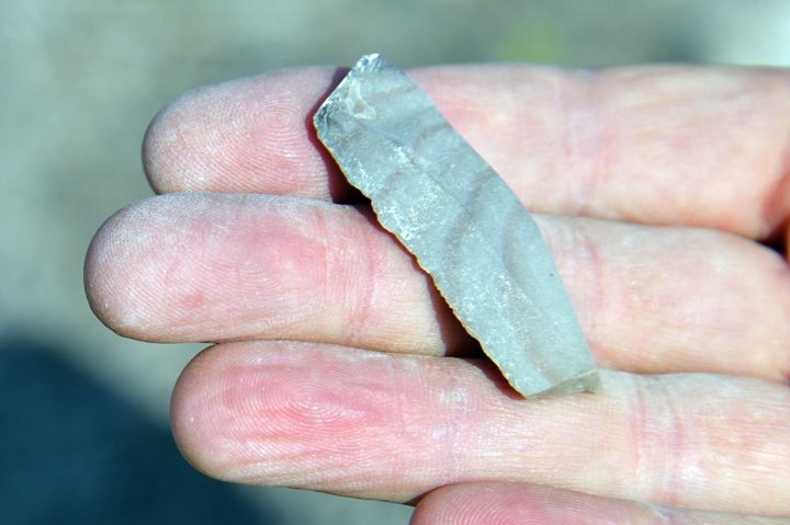
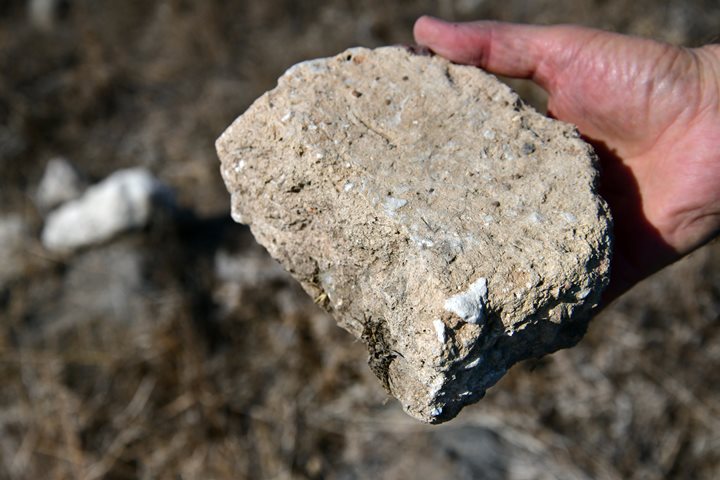
Ancient sites near the valley around ‘Ein Shakhal spring in the Nahal Tabor valley.
Home > Sites > Yizreel Valley > Nahal Tabor > Ein Shakhal
Contents:
Background
Location
History
Photos
* General Views
* Flour Mill
* The Valley
* Shakhal Aleph
* Shakhal Bet
* Shakhal Bet2
* Shakhal Gimel
Links
Etymology
Background:
In the valley of Nahal Tabor are a number of ancient settlements. This page reviews the sites around ‘Ein Shakhal spring.
Location:
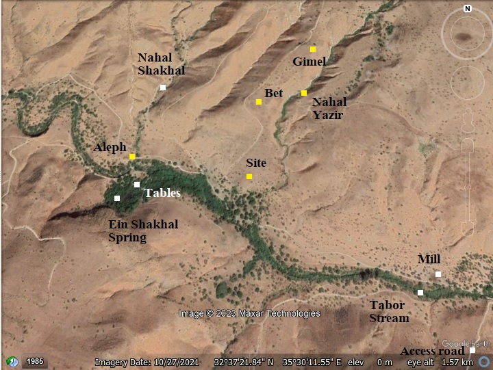
An aerial map of the site shows the sites that are reviewed in this page, marked in yellow squares and designated by letters Aleph thru Gimel. These sites are on the north bank of the Tabor river, near the spring of Ein Shakhal.
History:
- Bronze and Iron ages
* Biblical map:
A Biblical map shows the location of the site, with a red mark indicating the place of the sites that are reviewed in this page.
The major city in this area was Horvat Rekhesh – here marked as Anaharath, one of the Biblical cities of Issachar (Joshua 19:17,19): “And the fourth lot came out to Issachar… and Anaharath”. A major road connected the city along the Tabor river to the Jordan river crossing at the Tabor delta. It passed the sites of Ein Shakhal.
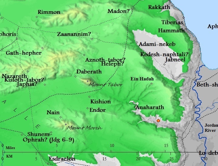
Map of the area around the site – from Canaanite/ Israelite to Roman period (based on Bible Mapper 3.0)
- Ottoman Period
* PEF Survey:
Conder and Kitchener surveyed this area during the Survey of Western Palestine (SWP), commissioned by the Palestine Exploration Fund (PEF) in 1873. A section of their map is seen here, with the site on the area near Tabor stream (Wadi Bireh) near Ein Shakhal spring (‘Ain Umm es Sawalil – the spring of the little streams). An ancient road, marked by a double dashed line, crosses the valley near the spring, connecting the south (passing at Kaukab el Hawa) to the north (Sirin).
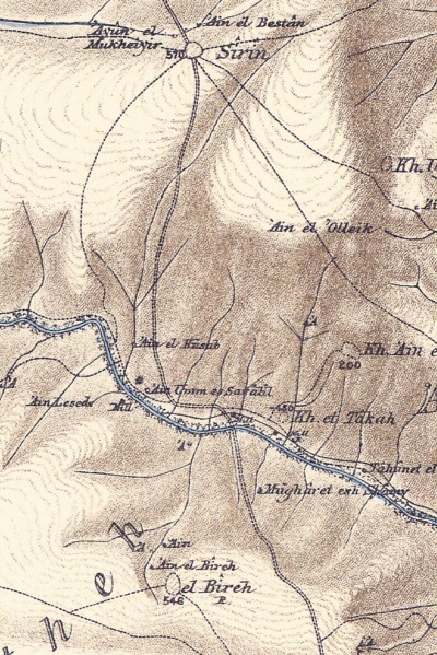
P/O Sheet 9 of SWP, by Conder and Kitchener, 1872-1877.
(Published 1880, reprinted by LifeintheHolyLand.com)
- British mandate
A section of the British map of the 1940s is shown here. There are only a few landmarks on this section: On the right side appears “Mill”, marking the place of the Ottoman period flour mill. Above on the foothills is Kh. ‘Ein el Haiye – ruins of a large multi-period site.
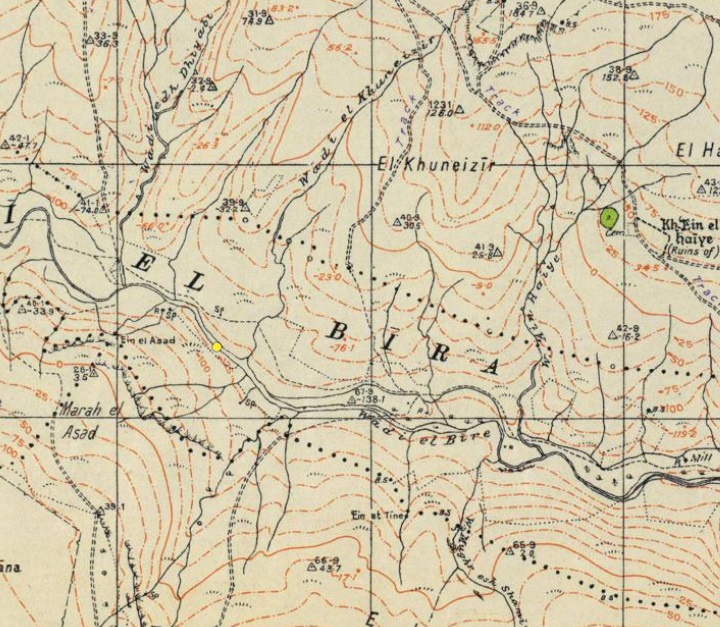
https://palopenmaps.org – Palestine 1940s 1:20,000 map
- Modern period
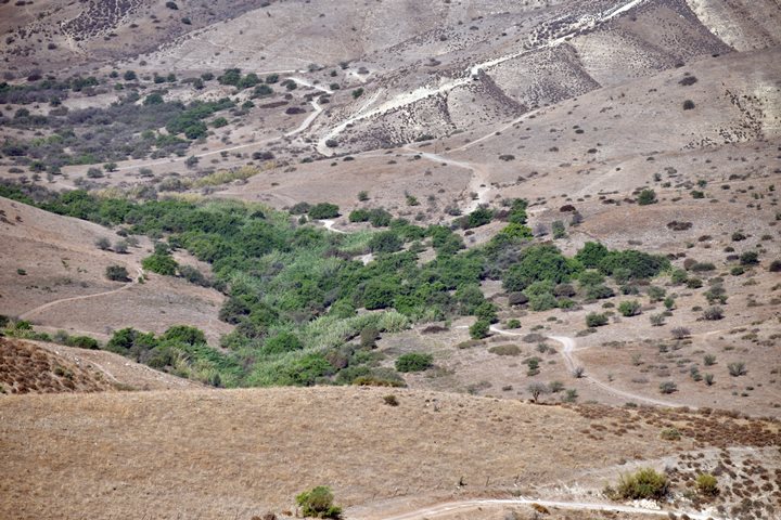
The area around the spring is like an oasis. Trees cover the area, and the stream of Tabor flows along the valley. There are several picnic tables in the shade of the trees. A paradise! However, few visit the place due to the difficult terrain and since the Israel Nature and Parks Authority fenced off most of the roads in order to keep it undisturbed. A single dirt road descends from the southern foothills, but it requires an experienced driver and a special vehicle to dare the steep descent.
Photos:
a. General Views
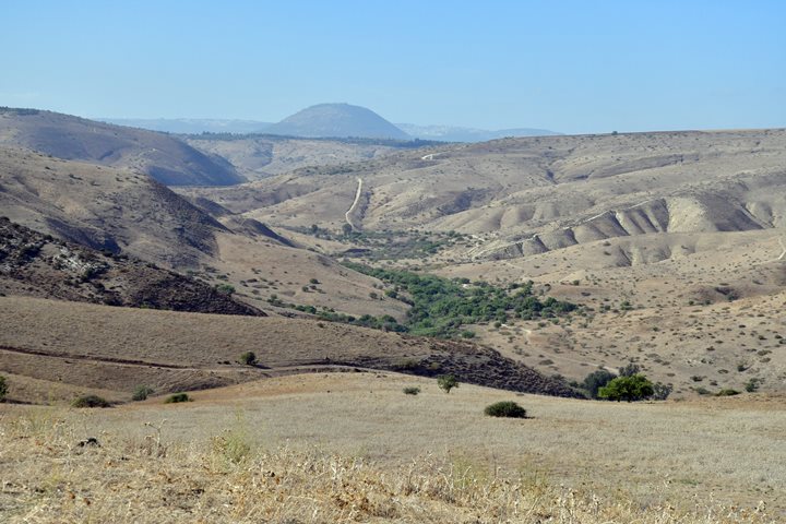
A view of the the valley of Nahal Tabor is seen here from the south east side. Ein Shakhal spring flows within the area covered by trees. Mt. Tabor rises in the far background.
b. Flour Mill
Flour mills were popular in the Holy Land during the Crusaders, Mameluke and Ottoman periods. Ruins of many water powered mills are found in Israel along the streams. This mill is located downstream of Ein Shakhal, 1200m south east of the spring.
c. The Valley
The surrounding area is designated as a nature reserve zone, indicating the significance of the natural environment in that region. The Nature and Parks authority has implemented restrictions on access to the area, likely to protect and preserve the unique ecosystem and natural beauty of the site.
These restrictions include closed gates on most roads leading to the spring, emphasizing the authorities’ commitment to conservation. Such measures are common in nature reserves to prevent human disturbances that could negatively impact the flora, fauna, and overall ecological balance of the area.
Nature reserves play a crucial role in biodiversity conservation, and limiting human access helps maintain the delicate balance of the ecosystem.
Below – a view of the eastern edge of the nature reserve. Nahal Tabor stream flows to to east (on the right side) down to the Jordan river, 5 km from this point and 110m lower. There is no access for vehicles along this way.
Another view of the nature reserve, towards the south.
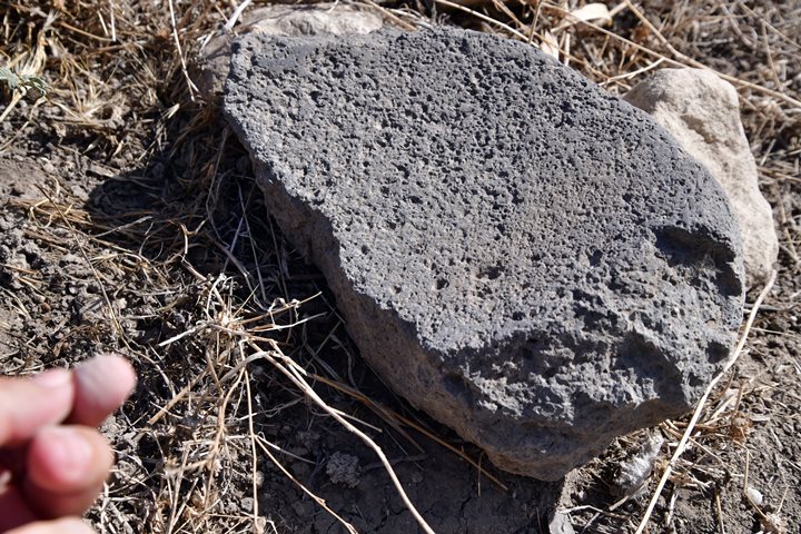
Along the road, on the north bank of the stream, are remains of ancient Bronze/Iron settlements, such as this flat basalt rock – a broken part of a grinding base.
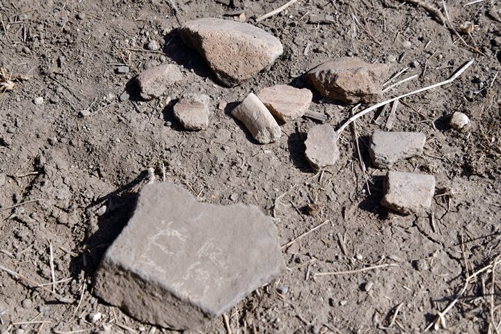
Pottery fragments were also found along the stream. They were dated to the Early Bronze period.
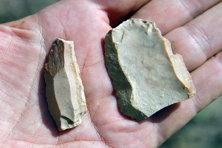
Flint stone tools are also be found along the stream.
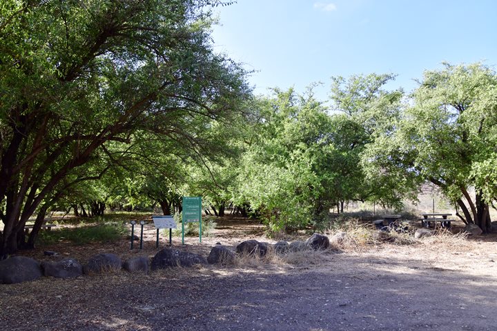
Near the spring are picnic tables. A trail leads thru the trees to the stream.
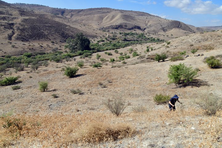
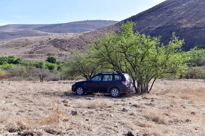
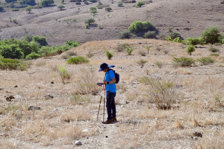
We parked our car in the shade of one of the trees, and hiked to the ancient settlements that are scattered on the northern foothills above the stream. They are detailed in the remainder of this page. The original names of the ancient sites were not known to the surveyor, and so their prefix starts with “Shakhal” and the suffix of the name with a Hebrew letter (Shakhal Aleph thru Gimel).
d. Shakhal Aleph
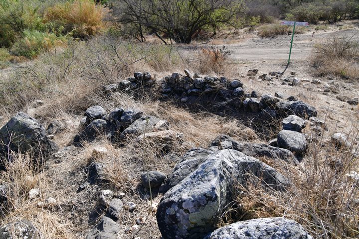
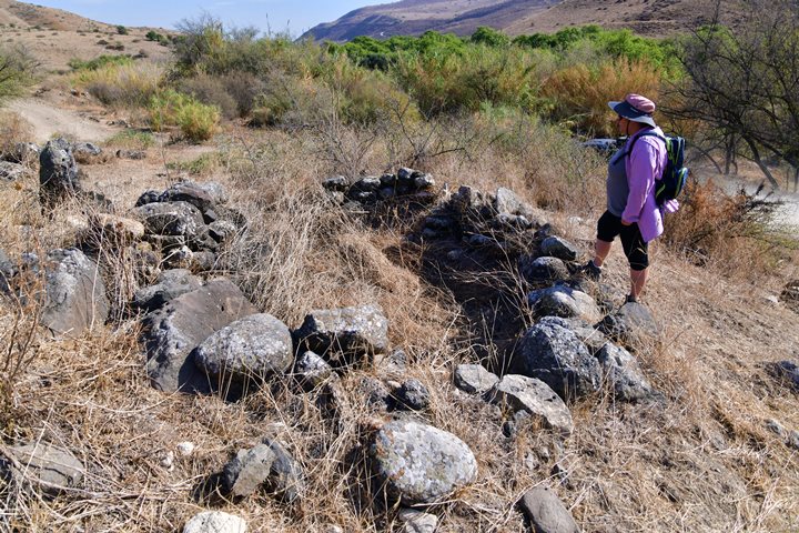
This ancient settlement is located close to the spring, 2m above the Nakhal Shakhal stream that descends to Nahal Tabor from the north.
Its area along the western side of the stream is 70m by 200m.
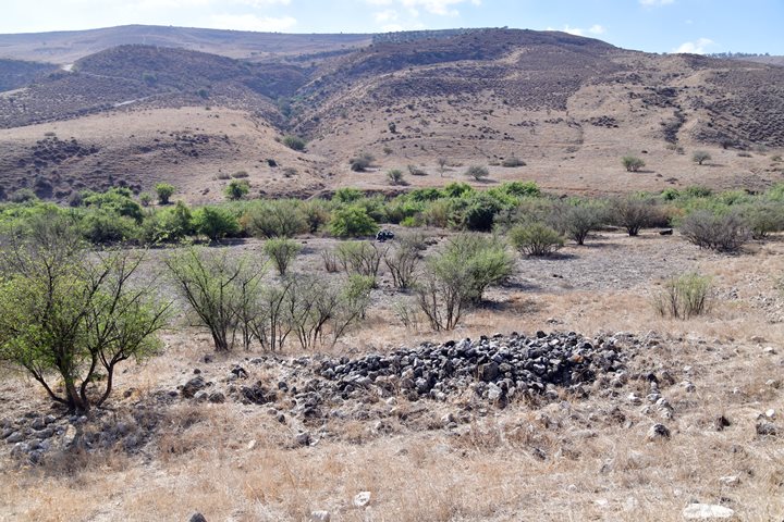
In the settlement are bases of several round structures, with walls built of field stones. Ceramics collected by N. Zori (The Land of Issachar Archaeological survey, 1977, p. 122) were dated to the Early Bronze I and II, with few dated to the Byzantine period.
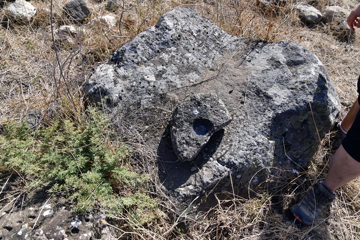
An ancient farming installation was curved on one of the rocks.
e. Shakhal Bet (“Lower Shakhal”)
This settlement is located above the western bank of the gorge of Nahal Yazir stream. It lies 650m north-east of Shakhal spring, 500m away from Nahal Tabor.
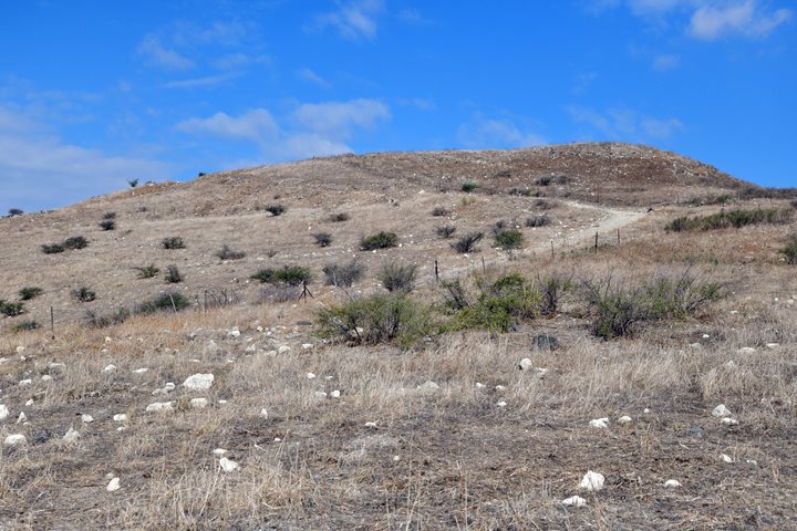
The site, seen here from the south side, is located on and around a low hill, covering an area of 100m by 150m. Remains of walls are visible on the eastern edge above Nahal Yazir. The surveyor commented that there may be remains of a glacis.
A dirt road curves around the western side of the site. Due to the fence stretching along the road, access to the site is by foot either from the south or north sides.
Ceramics collected by N. Zori (The Land of Issachar Archaeological survey, 1977, p. 122) were dated to the Early Bronze I and II periods, with a minority dated to the Iron Age I, Persian, Byzantine and Early Muslim.
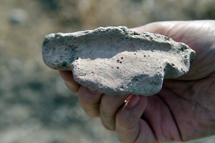
One of the pottery fragments we found in our short survey was a ledge-handle (ידית מדף) jar dated to the Early Bronze. (Similar item in IAA online findings).
N. Zori also collected flint stone tools dated to the Middle Paleolithic (80,000 – 40,000 BC) and the Middle Bronze period.
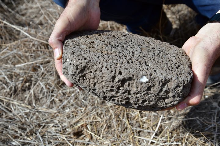
Basalt grinding stones were also found during our short survey:
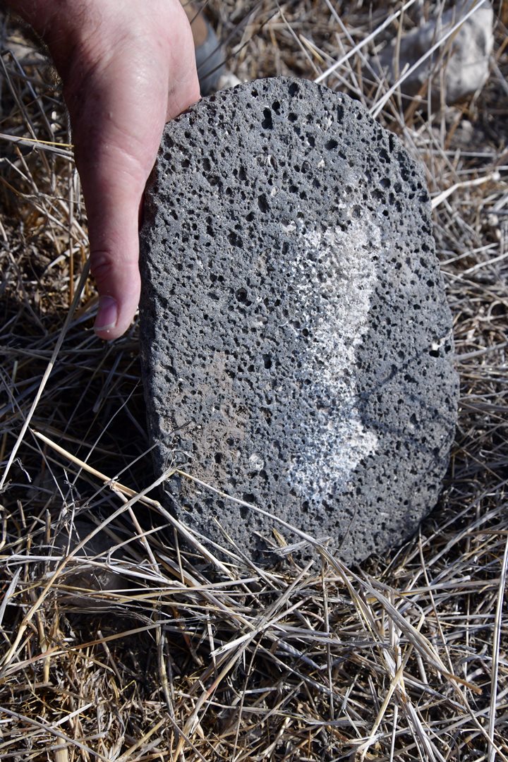
Yet another flat grinding stone:
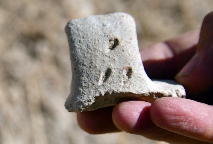
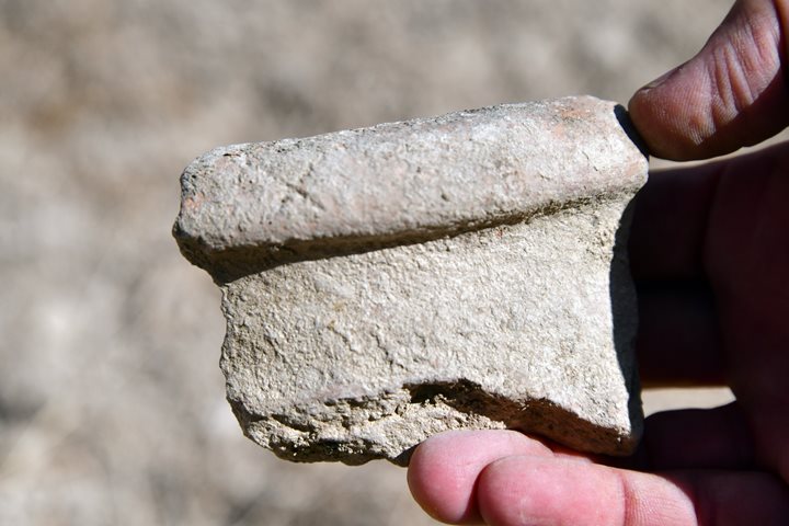
On a lower site at the foothills of Shakhal Bet we found a number of interesting ceramics scattered above the valley on the west side. They were typical of the Iron Age, with pottery maker marks.
A handle with 3 grooves:
A rim of a vessel with an engraved “X”:
f. Shakhal Bet 2
Another site is located on a low hill on the eastern bank of Nahal Yazir, 50m from the bed of Nahal Tabor. It was not covered by the survey of N. Zori 1977.
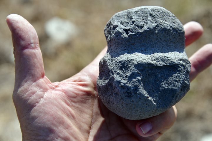
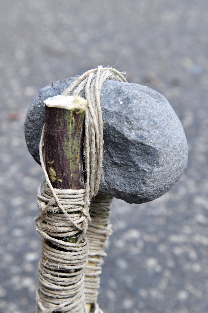
Here we found a stone axe, dated to the Early Bronze or Chalcolithic period. The stone was used as a hammer, with a wooden handle that was holding it. Around the stone is a groove that was used to tie the rope in order to fasten it to the handle. You can notice that on both sides the stone was repeatedly hit with force, causing the surface of the stone to be smoother.
A 3D model of the ancient hammer was scanned using the Scaniverse app. Pressing on the following photo will open a mp4 video player with a 3d model of this tool, revolving around its axis.
g. Shakhal Gimel
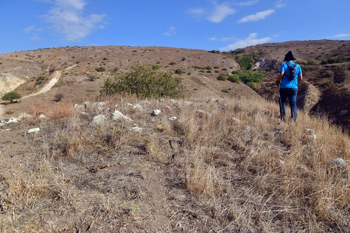
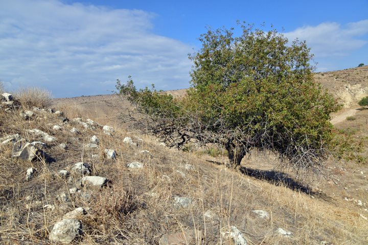
Another site is located further uphill, about 1000m from Nahal Tabor. The site covers an area of 50m x 80m and is concentrated on the top of the hill. On the summit are remains of structures made of small lime stone field stones.
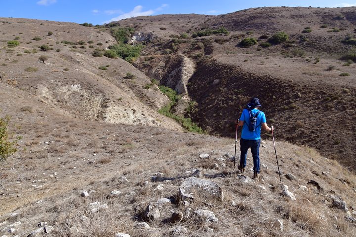
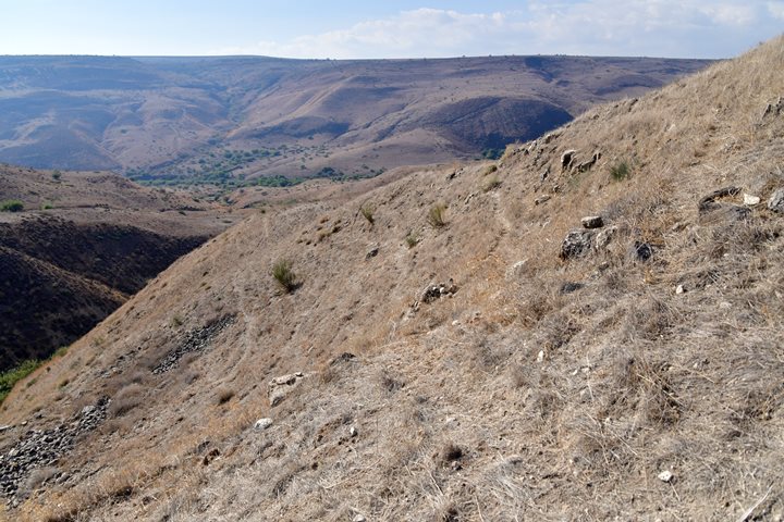
The site is located on a hill overlooking the deep gorge of Nahal Yazir on its east side (seen here) and the adjacent valley on the west.
The eastern foothill above Nahal Yazir is so steep that it made precarious to walk along a narrow path below the site.
On the north side of the hill is a lone tree.
Ceramics collected by N. Zori (The Land of Issachar Archaeological survey, 1977, p. 122) were dated to the Early Bronze I and the Iron Age I.
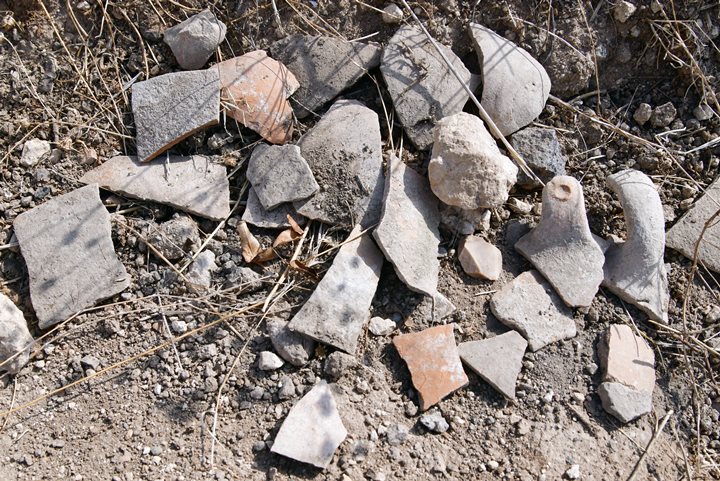
During our short survey of the site we collected (an left on site) the following pottery fragments. They were identified as Biblical period pottery.
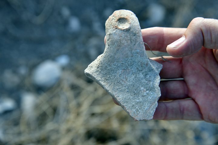
Outstanding findings include this handle of a vessel with a round cavity (dated Iron 1/2 period):
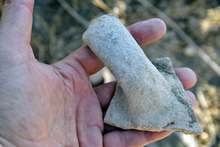
Another handle of a pottery vessel (also Iron Age):
The next item is a sickle blade flint stone. N. Zori dated the flint stones on this site to the Early Bronze I-II period.
We also found a piece of a sun-dried mud brick. Mud bricks were the major building blocks of the Bronze/Iron age, used to build the walls above a stone base. Most of the bricks have since crumbled into dust, but some are still found above the ground such as this speciment.
Links and references:
* References:
- N. Zori (The Land of Issachar Archaeological survey, 1977)
* Internal:
Etymology (behind the name):
- Ein – Hebrew for spring (‘Ain in Arabic)
- Ein Shakhal – Hebrew name of the spring
- Shakhal – Hebrew: Lion. Psalms 891: 13: “Thou shalt tread upon the lion and adder: the young lion and the dragon shalt thou trample under feet.”
- ‘Ain Umm es Sawalil – The Arabic name of the spring, meaning: the spring of the little streams
BibleWalks.com – Discovering the Biblical scenes
Harod Spring <<<—previous Yizreel Valley site—<<< All Sites>>>
This page was last updated on Feb 27, 2024 (pottery dating update)
Sponsored links:
