BibleWalks has added a new aspect of the exploration of the Bible Lands. As reported on 11/9/24, a new video camera (DJI Osmo Pocket 3) was added to BibleWalks survey team. It assists in recording our field surveys, adding live video capture options. The survey videos are also embedded in our reviews of the sites.
The following field surveys were released and available on YouTube:
- Horvat Kush – an Iron age fortress on bank of Jabneel stream, northern Jordan valley area.
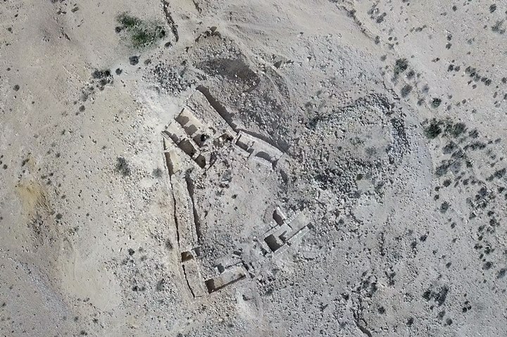
- Horvat A-Dir – ruins of an Iron Age fortress, later converted to a Byzantine period monastery
- Horvat Nurit (Khirbet Nuris) – archaeological ruin on the northern foothills of Mt. Gilboa
- Tell Ubeidiya – archaeological site located near the Jordan River crossing
- Tel Issachar – Canaanite and Israelite city, located on the north bank of Issachar brook
- Tel Nami – Middle and Late Bronze port city in HaBonim Nature reserve
- Horvat Ziwan (Khirbat ez-Zawiyan) – An impressive Iron age II fortress south of Nahal Tabor
We hope this additional media option will enrich your Bible Walking experience.
Enjoy!
.
