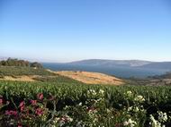
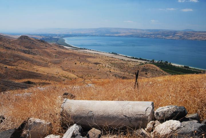
This sweet water lake is located in the west side of the Galilee, a major source of water supply, center of tourism, and rich with history. This is an overview page of the area of the Sea of Galilee.
Home > Sites > Sea of Galilee (Kinnereth, Genesareth, Lake of Tiberias)
Contents:
Overview
Location
Water supply
Highlights
Flight over
Etymology
The sites
Map of sites
Overview:
The Sea of Galilee, also known as Lake Tiberias or the Kinneret, is a freshwater lake located in northern Israel. It is approximately 21 kilometers long and 13 kilometers wide, and is the lowest freshwater lake on Earth, at approximately 213 meters below sea level.
The Sea of Galilee has great religious significance for Christians, as it was the site of many of Jesus’ miracles and teachings. According to the New Testament, Jesus lived and ministered in the area around the Sea of Galilee, and many of his disciples, including Peter, Andrew, James, and John, were fishermen on the lake. The New Testament records several instances of Jesus calming storms on the lake, as well as other miracles such as feeding the 5,000.
In addition to its religious significance, the Sea of Galilee is also an important source of fresh water for the region and supports a variety of plant and animal life. It is surrounded by lush forests, rolling hills, and fertile agricultural land, making it a popular tourist destination. Visitors to the area can enjoy a range of activities, including boating, fishing, hiking, and swimming, as well as visiting the many religious and historical sites in the surrounding area.
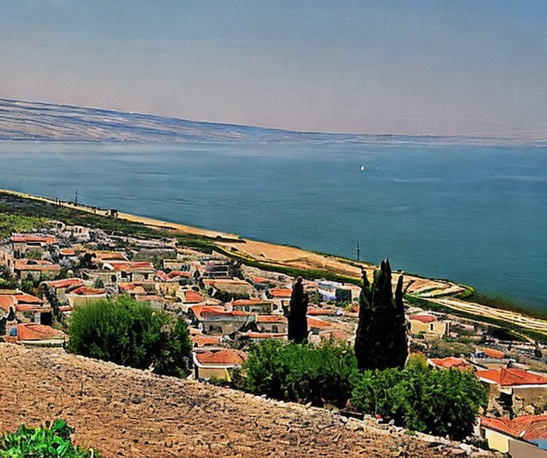
Computer generated illustration of Sea of Galilee – by Stable Diffusion
Location:
The Sea of Galilee is located in the east side of the Galilee, in the north of Israel. It is a large sweet water lake (168 square KM), has 55KM of shore line, 21KM long X 13KM wide (at its widest section at the Arbel cliffs), and has a kind of the shape of a pear or a violin. The lake is shallow – the maximum depth is 44M.
The entire lake is located within a great depression, about 210M below the (Mediterranean) sea level. It is the lowest sweet water lake in the world. The hills around the lake are even higher: 400-500M above the lake’s level. This depression is part of the Syrian-African fault line, which includes the Dead Sea.
Water Supply:
Most of its water comes from the northern Jordan river. It also comes from springs and flow of water from the surrounding hills in the winter time.
The water comes out through the southern Jordan river that flows to the Dead sea. The water is regulated, so the southern dam is rarely open, mostly in wet winters.
The water is also pumped out and supplied to the south of Israel by the the ambitious project called “Movil Haartsi”, or the national water canal. This project has a number of facilities in the Sea of Galilee – a huge water pump in the north-west side of the lake near Tabcha, and bypass canals that divert the “salty” water (hot springs) around the lake, in order to keep the lake clean. Some of the water is also supplied to the Kingdom of Jordan, as part of the peace treaty with this neighboring Country.
Decline in water levels:
In recent years, the pumping of water out of the lake has led to a decline in water levels, which has raised concerns about the lake’s long-term sustainability. In an effort to address this issue, a system was built to reverse the flow of water, adding water into the lake. In recent years, Israel has become a world leader in desalination technology, and the country operates several large desalination plants along the Mediterranean coast. These plants use reverse osmosis technology to remove salt and other impurities from seawater, making it safe to drink. The desalinated water is then used to augment the country’s fresh water supply, helping to mitigate the effects of drought and other water-related challenges. One of the plants was connected to the national water canal, feeding desalinated water into the lake.
Feeding desalinated water into the Sea of Galilee is a controversial issue in Israel. While some argue that the fresh water from desalination plants could help to increase the water level of the lake and replenish its ecosystem, others worry that the discharge of large amounts of freshwater into the lake could have negative impacts on its delicate balance of salt and other minerals. In order to protect the lake’s ecosystem, strict regulations are in place to control the discharge of desalinated water into the Sea of Galilee. These regulations dictate the rate and volume of discharge, as well as the temperature and chemical composition of the water.
Highlights:
(a) Tiberias – West side of the lake
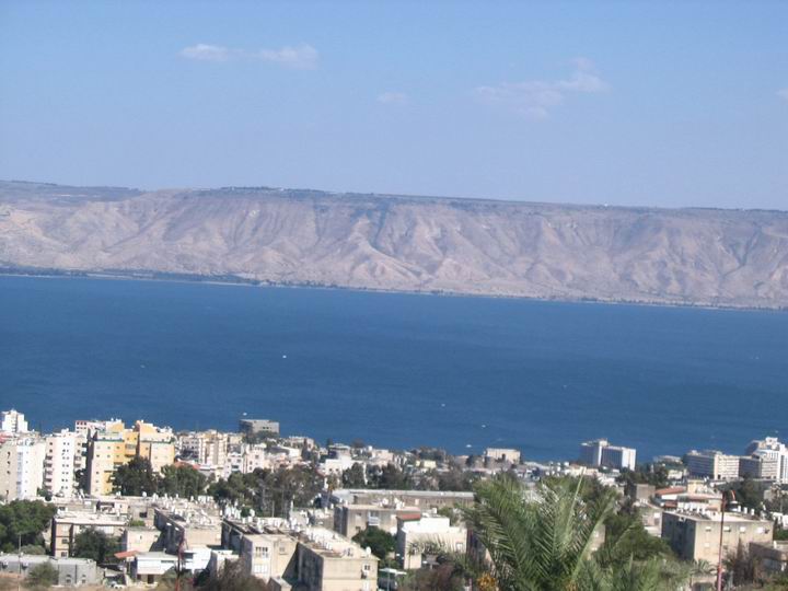
We start with Tiberias, the big city on the west shore of the Sea of Galilee. The following photo shows the new city, the Sea of Galilee behind it, and the Golan heights in the background.
Click on the photo to view it in higher resolution…
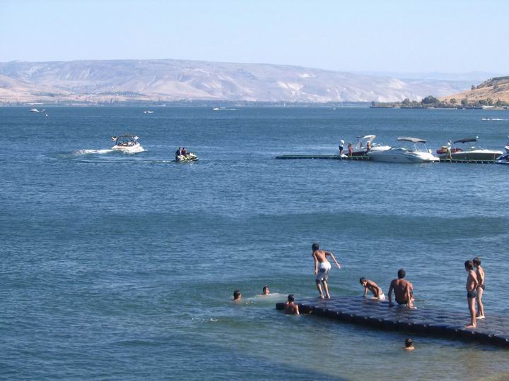
The sea of Galilee has a hot and dry weather, sweet water, and calming atmosphere. This makes it a favorite vacationland. During almost year round the lake is full of tourists, and especially local tourism on the weekends. The entire lake is surrounded by public and private beaches, and high-rising hotels in Tiberias.
![]() More on Tiberias
More on Tiberias
(b) South side of the lake
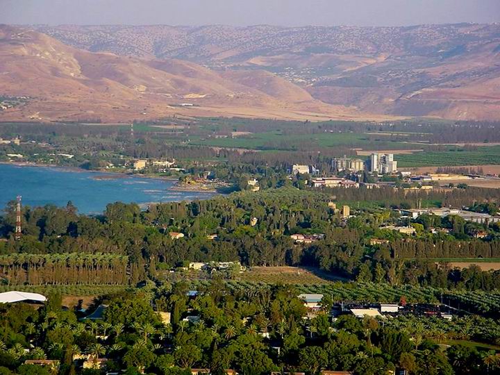
This photo is looking in the south of the lake, towards east. In the foreground are Kibbutz Kinnereth and Kibbutz Degania. On the shore (at the left side) lay the ancient ruins of Beit-Yerach. On the right side of the shore line – the Yardenit baptismal, where the Jordan river starts its long and slow flow to the south.
In the remote background are the hills of the Golan heights, with Syria hidden way behind the leftmost hills. The Kingdom of Jordan is located on the right darker hills. Between the hills is the Yarmuch valley, which its river flows into the Jordan river 10 Km to the south.
![]() More on Beit Yerach
More on Beit Yerach
![]() More on Yardenit
More on Yardenit
(c) North side
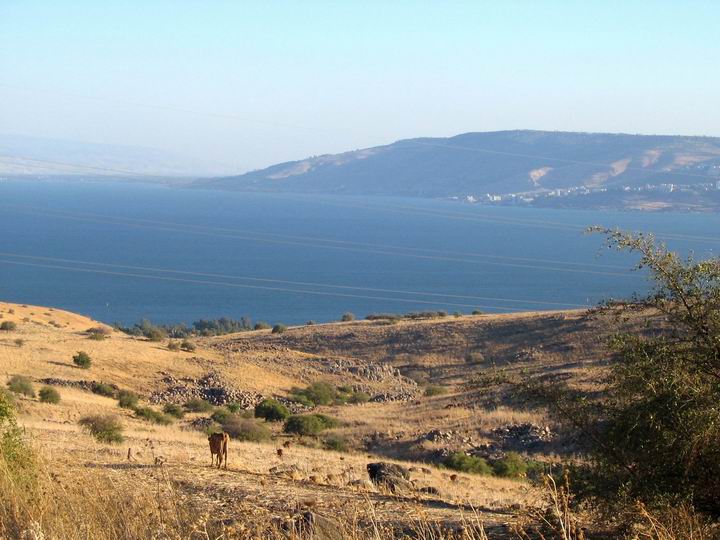
This is the view from the north side. In the background hills – the city of Tiberias.
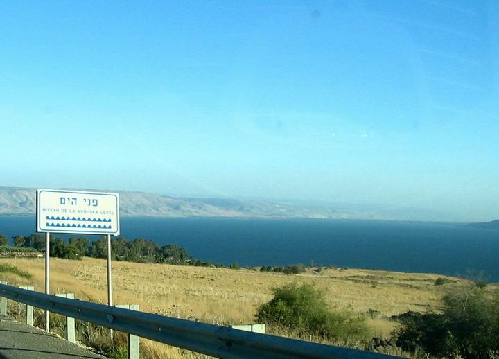
Driving along the road that descends from the hills around, you pass signs of “Sea level”, since the lake is about -210M (below sea level).
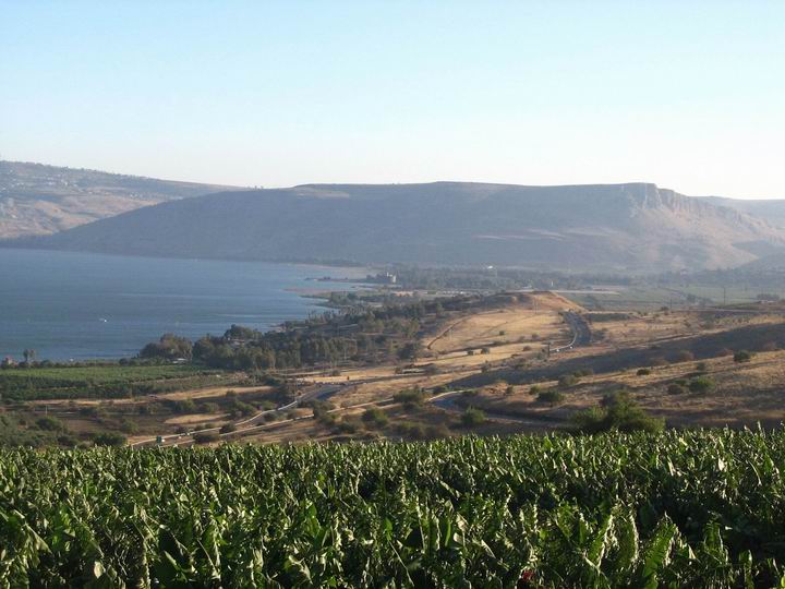
In the photo below you can see the Arbel cliffs in the west side of the lake. Under the cliffs , on the shore, is the ruins of Magdala. On the right side – the valley of Ginnosereth (Ginnosar). On the left side of the shore is Tabcha (seven springs).
![]() More on Tabcha
More on Tabcha
![]() More on Capernaum
More on Capernaum
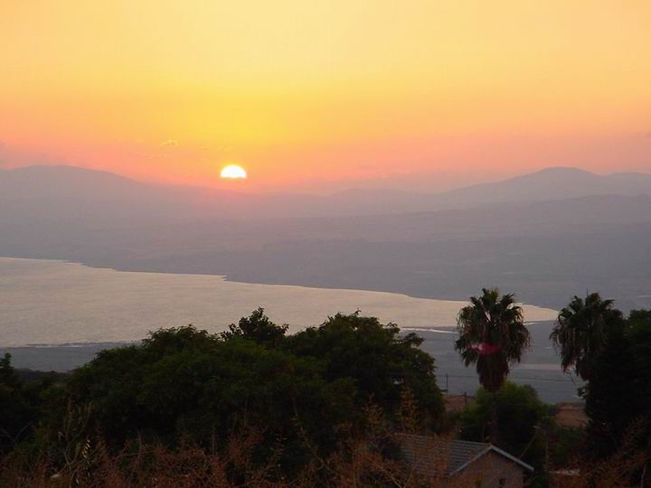
A sunset picture is seen in the following photo, taken from Maale-Gamla on the north-east side of the lake. On the right side is the valley of BethSaida, where the northern Jordan river flows into the lake.
![]() More on Gamla
More on Gamla
![]() More on Bethsaida et-Tell and el-Araj
More on Bethsaida et-Tell and el-Araj
Photo by Amir Porat
(d) East side:
A view of the southeast side of the sea of Galilee is seen from the mountain of Hippos/Sussita, a Graeco-Roman and Byzantine site – one of the most remarkable archaeological sites in the Galilee.
![]() More on Hippos/Susita
More on Hippos/Susita
(e) Flight over the coast:
![]() Fly over the south east coast of the Sea of Galilee with this Youtube video:
Fly over the south east coast of the Sea of Galilee with this Youtube video:
Etymology (behind the name):
-
-
- Kinnereth (Cinnereth) – the name of Sea of Galilee in Hebrew. The meaning for this name is not clear, but there are several options:(a) Kinor is in hebrew: violin. Since the shape of the lake resembles a violin, it may be the source of the name.(b) Kinar is a name of a old god, and is mentioned in the ancient Ugarit scribes (as well as Kinnereth). Hence the lake was named after this god.
-
In Christian texts the name has transformed to Genesareth.
-
-
- Sea of Tiberias – another name of the sea of Galilee. Tiberias is the major city in the area, and therefore the lake is called after it.
- Sea of Ginosar (Ginnosereth)- yet another name of the lake; called after the valley on the north-west side.
-
Sites in the Sea of Galilee:
![]() Select one of the following sites, or go to the Sea of Galilee sites Gallery:
Select one of the following sites, or go to the Sea of Galilee sites Gallery:
Map of sites:
The sites of the Sea of Galilee are marked on the Google satellite/road map. Hover over the marker to see the title, and press on the marker to jump to that site’s review. Select Map or Satellite display. A table of sites appear below it; selecting any row will jump to its marker on the map.
The colored markers on the map stand for the classes of sites:
● Blue = Old Testament
● Red = New Testament
● Purple= other ancient periods,
● Green= prehistoric, nature
● Yellow= regional galleries
Sites of the Sea of Galilee


BibleWalks.com – walk with us through the sites of the Holy Land
Start exploring the sites:
<<<All Sites>>> —-1st Sea of Galilee site –> Arbel Cliffs
This page was last updated on Feb 8, 2025 (add el Araj)
