
A multi-period archaeological site located on the plateau above Yavne’el, named after its spring (Ein Haddah).
Home > Sites > Yizreel Valley > Tel Ein Haddah
Contents:
Background
Location
History
Identification
Photos
* Aerial Views
* Arab village
* Spring
* The Tel
* West side
Video Tour
Links
Etymology
Background:
A multi-period archaeological site located on the plateau above Yavnael, 8km east of Mt. Tabor.
(Joshua 19: 17): “And the fourth lot came out to Issachar…. And Remeth, and Engannim, and Enhaddah, and Bethpazzez”.
Location:
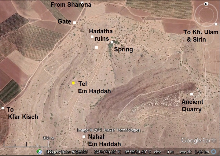
An aerial map of the site is shown here, with Tel Ein Haddah in the center. On its north side are the ruins of the Arabic village – Hadatha. The spring, which gave its name to the site, is located on the north east side.
There are several ways to reach this remote location – dirt roads from Sharona (from the north), Sirin (from east) or Kfar Kisch (from south).
History:
- Bronze period (3150-1200BC)
The city, naturally protected by deep valleys on both sides, was a fortified city during the periods of the Late Bronze I (1550-1300 BC) and Late Bronze IIa/b (1300-1200).
It may have been one of the cities conquered by the Egyptian pharaoh Thutmose III (reigned 1479 BC to 1425 BC) who listed “Hadat” as one of the 117 cities conquered during his inquest to the north. On the wall in Karnak are illustrations of Canaanite princes, depicted with hands tied behind their backs, and their city names appear in Egyptian hieroglyphics. The neighboring MB city – Anharath (Tel Rekhesh) – also appears on this royal monument.

Thutmose III smiting his enemies (7th pylon in Karnak). Photo by Markh; public domain.
- Iron Age 1 (1200-1000 BC)
The city continued to thrive in the Iron Age I (1200-1000BC). Ein Haddah was a Biblical city within the inheritance of the tribe of Issachar (Joshua 19: 17):
“And the fourth lot came out to Issachar…. And Remeth, and Engannim, and Enhaddah, and Bethpazzez”.
- Iron Age 2 (1000-586 BC)
Judging from its size and its defenses, this could have been the capitol city of Issachar during the Iron Age II. It was named after the spring that provided its life in this dry area – Ein (spring) Haddah. The perennial spring, located on the north east side, continues to provide year round water. During the Bronze/Iron age its waters may have been conveyed closer to the center of the city, thus enabling the city to withstand siege.
A figurative AI illustration of the Iron Age city is shown here, as seen from the north east side. The city was protected by 2 or 3 peripheral city walls, and deep foothills on all side except for the north side. A dry moat cut the elongated ridge on the north side, boosting the defense of the weaker side, creating an upper city in the center. There were 2 more lower levels on the south side, also protected by walls and by the steep foothills. The total area of the built city is about 20 dunams.
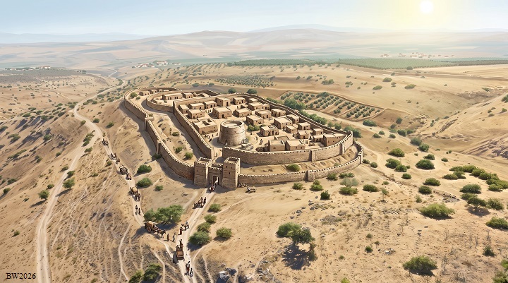
Iron Age II city illustration – AI generated Credit: Gemini AI / BibleWalks Collection
The Ein Haddah spring, 300m to the north and at a current height of 239m, could have reached to the area near the gate, conveyed by an aqueduct along the eastern side of the hill. According to our measurements, the moat is at slightly lower height of the spring. The waters could have filled up a trough and reservoirs near the gate, and also extended to reach the lower southern side and fill reservoirs. Since the moat below the northern wall was lower in height during ancient times, the waters could have filled a section of the moat.
A Biblical map below shows the location of the site , between Mt. Tabor to the west and the Jordan river to the east, overlooking Jabneel. It is marked by a red dot.
According to D. Dorsey (The Roads and Highways of ancient Israel”), the city was located on a major Bronze/Iron age west/east road (“T2”), connecting Via Maris at the foothills of Mt. Tabor to Tell Obeidiya (here: “Beth-Shemesh”) on the west bank of the Jordan river, south of the Sea of Galilee. This was a parallel route along Jabneel and Tabor valleys that were less suitable for winter travel.
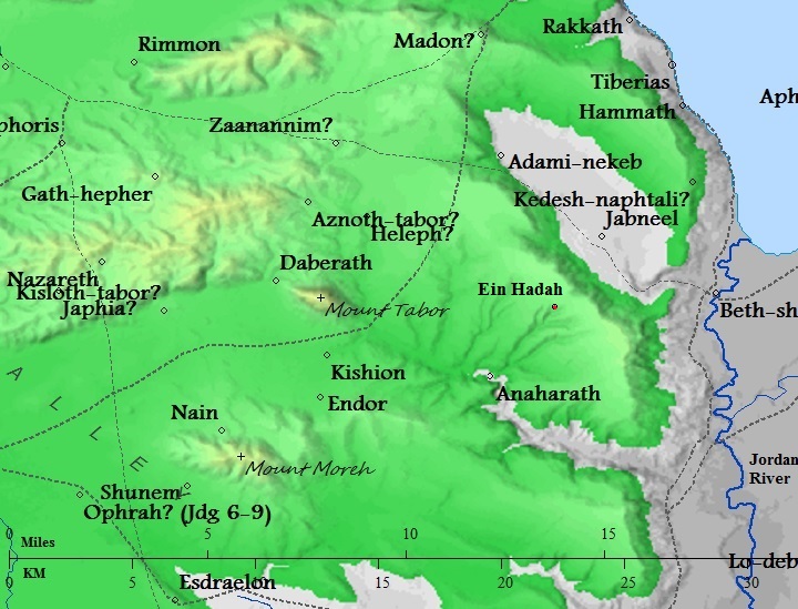
Map of the area around the site – from Canaanite/ Israelite to Roman period (based on Bible Mapper 3.0)
Ein Haddah was the largest city during the Iron Age II period, covering at least 20 dunams on the lower and upper city, in the area south of the moat. It could have also occupied the area north of the moat, but that requires further surveys to determine this expansion. In contrast, the nearby Biblical city of Tel Rekhesh (Biblical Anaharath), situated in the Tabor valley, was smaller during this period, as it occupied only the upper city area (total area of 5 dunams).
- Late Iron Age – Assyrian conquest
The Assyrian empire conquered the North Kingdom of Israel in 732 BC, destroying most of the cities and villages in the land. They exiled some of the population and introduced harsh taxation. (2 Kings 15: 29):
“In the days of Pekah king of Israel came Tiglathpileser king of Assyria, and took Ijon, and Abelbethmaachah, and Janoah, and Kedesh, and Hazor, and Gilead, and Galilee, all the land of Naphtali, and carried them captive to Assyria”.
Assyrian forces attacking – AI generated by Bing
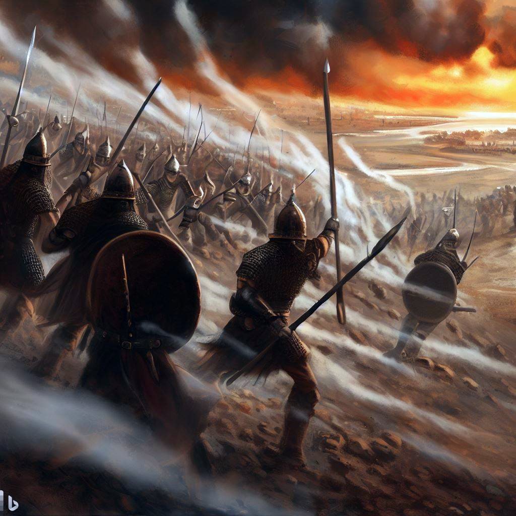
Following the death of Tiglath-Pileser, the Egyptians encouraged the people in the occupied territories of the Assyrians to revolt. Hoshea, King of Northern Israel, joined this mutiny, but made a fatal mistake. This time the Assyrians crushed the remaining territories of the Northern Kingdom. The intrusions of Shalmaneser V and Sargon II in 724-712 ended the Northern Kingdom (2 Kings 17: 5-6):
“Then the king of Assyria came up throughout all the land, and went up to Samaria, and besieged it three years. In the ninth year of Hoshea the king of Assyria took Samaria, and carried Israel away into Assyria, and placed them in Halah and in Habor by the river of Gozan, and in the cities of the Medes”.
The villages in the Galilee and Samaria were destroyed or abandoned, including this site.
- Persian, Hellenistic periods
There was some limited settlement. Ceramic survey dated some of the sherds to these periods.
- Roman/Byzantine period (to 7th/8th century AD)
A new village at Ein Haddah was built during the Roman/Byzantine period. It occupied the area from the north of the Iron Age moat to the mound west and north of the spring. Installations and quarries were found in the south side of the village.
Hewn stones and columns were found in the northern part of the site, at the area of the ruins of the Arab village. Mosaic floor stones are scattered on the foothill above the spring. These imply the presence of a public structure, such as a Roman period synagogue. Note that a number of Jewish villages existed in the nearby area during the Roman/Byzantine period, such as , Sirin and Kfar-Yamma and Tel Rekhesh.
- Ayyubid/Mameluke periods
The village was repopulated during the Ayyubid period following the defeat of the Crusaders in 1187. It was one of the Al-Hija villages, built with stones collected from the earlier structures. Hussam ad-Din Abu al-Hija was a Kurdish lieutenant that fought in Saladin’s army. After the wars, he retired back to Iraq, but his relatives received lands and established several villages in the Galilee (Hadatha, Kaukab Abu al-Hija, Sirin, Ruweis) and Carmel coast (Ein Hud). On the British mandate map, north east of the spring, is a mark of a shrine (“esh Sh. Abu el Hija”) dedicated to one of the al-Hija family.
- Ottoman Period
The village of al-Hadetheh was listed in the 16th-century Ottoman records. According to the 1596 Ottoman tax register, the village was recorded under the administrative hierarchy of the time: Subdistrict Tiberias, District: Safad. The register listed a Muslim population of 22 households (khāna) and 1 unmarried male, giving an estimated total population of around 120–121 residents, The villagers paid a fixed tax rate (typically 25%) on agricultural commodities including wheat, barley, goats, beehives, and fruit trees, alongside revenue from a press used for processing olives or grapes.
During the Ottoman period the village was populated by immigrants from Algeria. The village was named Hadatha (El Hadetheh), an Arabic name that preserved the name of the ancient city. The village continued until 1948, its ruins are scattered on the north side of the ancient Tel. The ruins cover an area of 450m north-south and 300m west-east. A vast Muslim cemetery covers the area north and east of the spring.
- PEF Survey:
Conder and Kitchener surveyed this area during the Survey of Western Palestine (SWP), commissioned by the Palestine Exploration Fund (PEF) in 1873. A section of their map is seen here, with the site marked as “el Hadetheh” at altitude 735 ft. It is linked on its west side to Sarona (modern Sharona) and Madher (modern ruins of a Crusader and Ottoman village), and a descent road leads east to Yemma (modern Yavne’el) and to the Sea of Galilee.
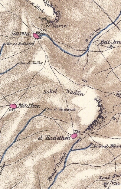
Part of map Sheet 6 of Survey of Western Palestine,
by Conder and Kitchener, 1872-1877.
(Published 1880, reprinted by LifeintheHolyLand.com)
The PEF report wrote about the spring (Volume 1, p.378):
“Spring on south-east side ; good supply of water, perennial ; a small stream flowing from it in winter and spring”.
They also quoted Geurin who reviewed the state of the village (Volume 1, p, 384):
‘ Some of the houses, which are still inhabited, have been constructed of good cut stones taken from some old buildings and mixed with small materials. On the slopes of the hill are found some ten shafts of columns lying scattered about the ground. They are the remains of a monument totally destroyed.’—Guerin.
- British mandate
A map published in the 1940s shows the area around the village “Hadatha”. The spring (‘Ein el Hadatha) is located on its east side. The houses are built to the west of the spring. The Tel to the south of the village is marked as “Et Tell”. The road leading from Sharona is marked by a double dashed line – the same route used today to get to the ruins.
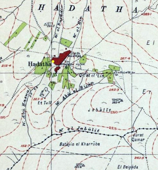
https://palopenmaps.org – Palestine 1940s 1:20,000 map
In 1921, during the British mandate, the inspectors wrote about the village (Link): “Houses are partly built of ancient stones. Cut stones and shafts of columns are scattered over the village. The spring is covered with a vault of well hewn stones. Near it are lying oil presses of basalt”.
The population in 1945 was 520 Arab residents, with a size of 38 dunams . The residential area itself was situated immediately on the northern edge of the ancient archaeological mound (Et-Tell / Tel Ein Haddah), while the vast majority of the village’s total acreage comprised surrounding agricultural fields stretching across the plateau. The farming area around the village included cereal cultivation (8,379 dunams) and irrigated land and orchards (199 dunams).
- Saarisalo’s survey
The site was surveyed by the Finnish archaeologist Aapeli Saarisalo in 1927. In his book (“The Boundary between Issachar and Naphtali”, pp 59-62) he reported about his findings at the site. He identified a large ancient settlement mound measuring approximately 10 hectares (roughly 100 dunams) situated near the modern Arab village of el-Hadetheh. This was a significant discovery, as previous surveys like the Survey of Western Palestine had not recognized the full ancient tell at this location. He described the ancient site, Et-Tell, lies south of the village and occupies an area of 600m in length by 100-200m in breadth, surrounded by two parallel valleys that converge on the lower end. The Arab village lies on the north side, but on all other sides the slopes are steep and provides a good defense.
The site owed its long-term settlement to its rich water supply, centered on ‘Ein Hadda (the spring giving the tell and local village their name). Saarisalo noted that the spring provided a reliable, continuous source of water, making it a natural hub for both agriculture and ancient travel across the plateau.
Saarisalo focuses on the unique topographical layout of the mound. The back bone of the mound is 75m in breadth, with two parallel terraces of debris surrounding the promontory for all its length. The upper terrace is narrow, while the lower terrace is broader. He observed that the Tel is physically divided into two distinct sections or summits, separated by a broad (15m), artificial-looking trench or depression. On the north half are Byzantine sherds and mosaics, while on the southern half is an earlier settlement.
Saarisalo collected extensive potsherds across the tell, spanning several continuous settlement strata:
-
Late Bronze Age Origin: Saarisalo emphasizes that the sherd assemblage begins in the Late Bronze Age. He notes that this makes Tell el-Hadetheh the earliest established settlement in its immediate neighborhood on the plateau, preceding the surrounding smaller Iron Age farmsteads and villages.
-
Iron Age (Early Israelite & Monarchic Periods): The site yielded a high concentration of Iron Age I pottery, indicating a flourishing settlement during the biblical period when the tribes of Issachar and Naphtali settled the region.
-
Roman–Byzantine & Later Horizons: The ceramic evidence continued into the Roman, Byzantine, and Early Arab periods, showing that occupational activity shifted or expanded around the spring area over time.
- Combining the size of the 10-hectare mound, the continuous Late Bronze/Iron Age pottery sequence, and the toponymic preservation , Saarisalo formally fixed the site as Biblical En-haddah (Josh 19:21), placing it securely along the northern territorial border of the tribe of Issachar.
- Modern period
The site is an open public area. It was surveyed (although not published), but not yet excavated. Hikers and Bikers get here to dip into the waters of the spring.
Photos:
(a) Aerial views
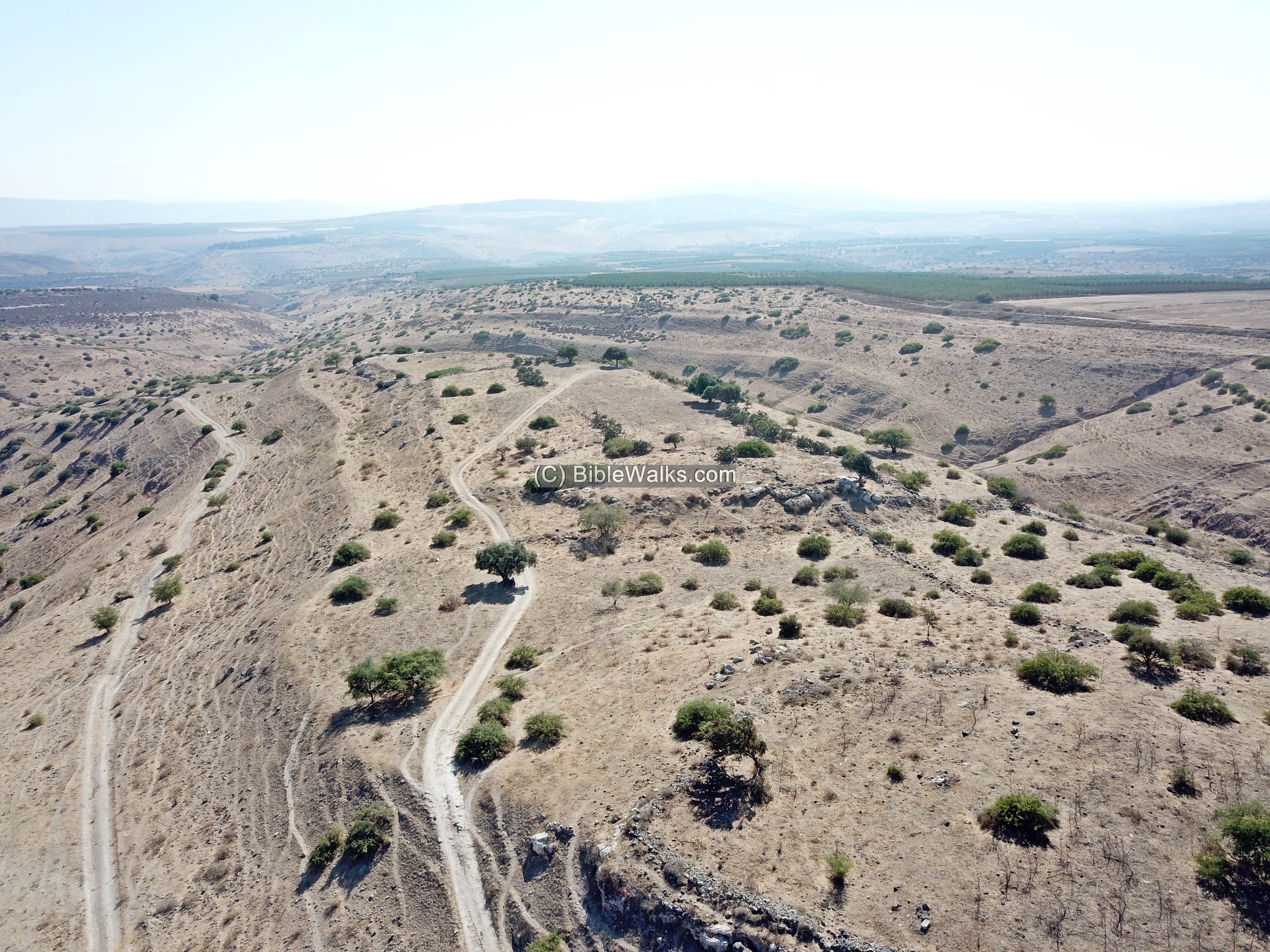
This is an aerial view of Tel, looking south. The are 3 stepped levels from the summit to the south.
Two valleys cut deep on both sides of the ridge.
Traces of the city walls are seen along the peripheral side. According the contour, it seems there were two or three parallel walls at different heights.
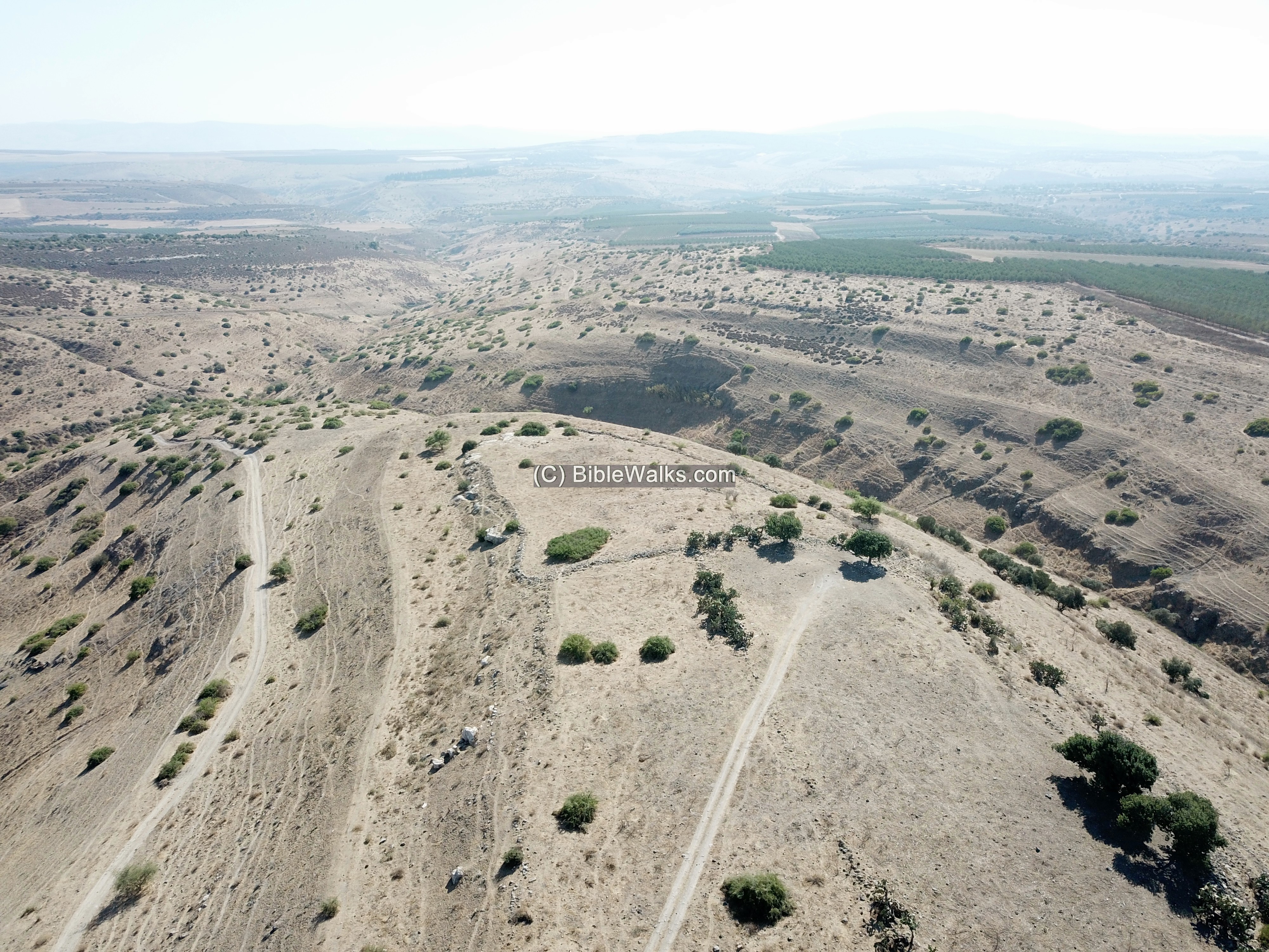
The next view is also oriented to the south, but covers a larger area. In the middle of the hill is a large raised section – perhaps the “upper city”. On its north side is a wide dry moat.
Another reversed view is towards the north. The spring is located on the right side. Ruins of the Arab village of Hadatha are located at the end of the ridge and on the hillside above it.
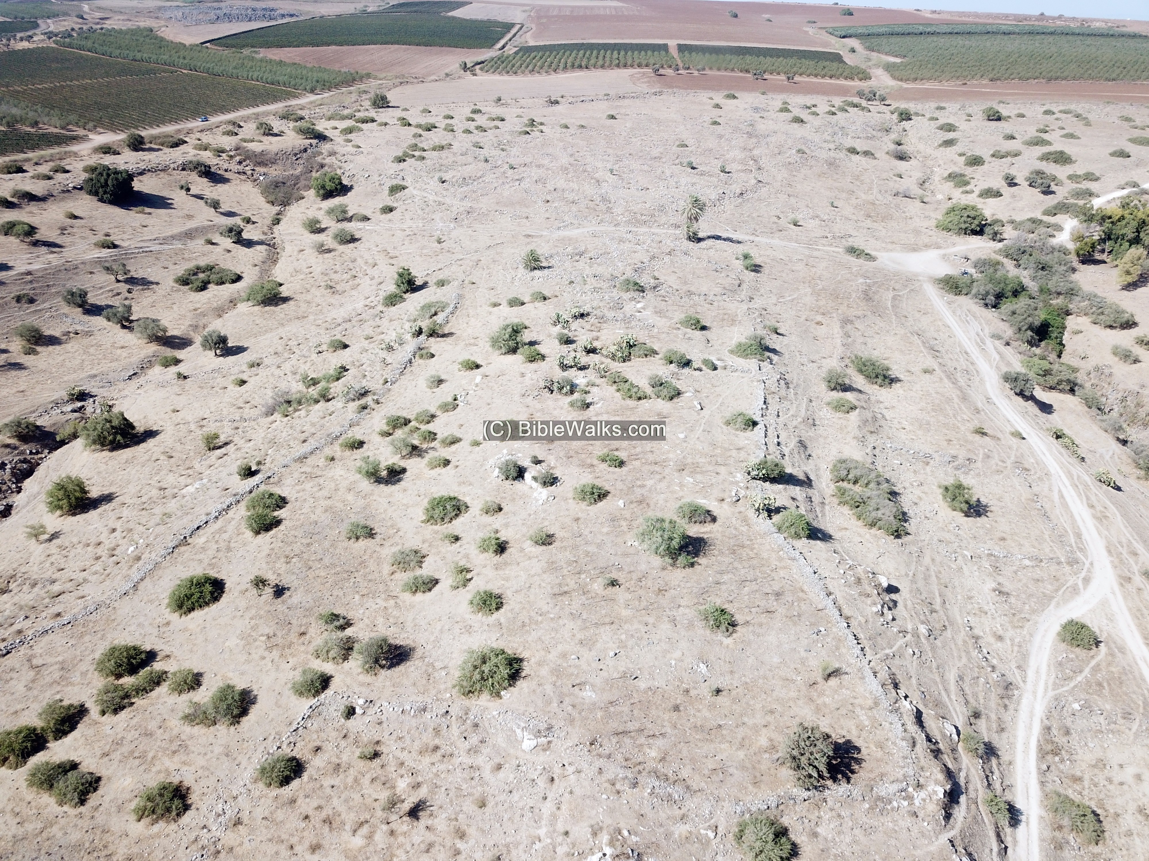
 A drone flight over the site is seen here. The drone views the area of the ancient mound to the south side of the ruins of the Arab village.
Another aerial view, focusing on the Tel, is in this video.
Also, check our video tour, focusing on the Biblical city on the southern mound.
(b) Arab Village
We approached the site via a dirt road from Sharona, then entered into the fenced area on its north west side. Sections of walls and ruins of structures are seen above the path.
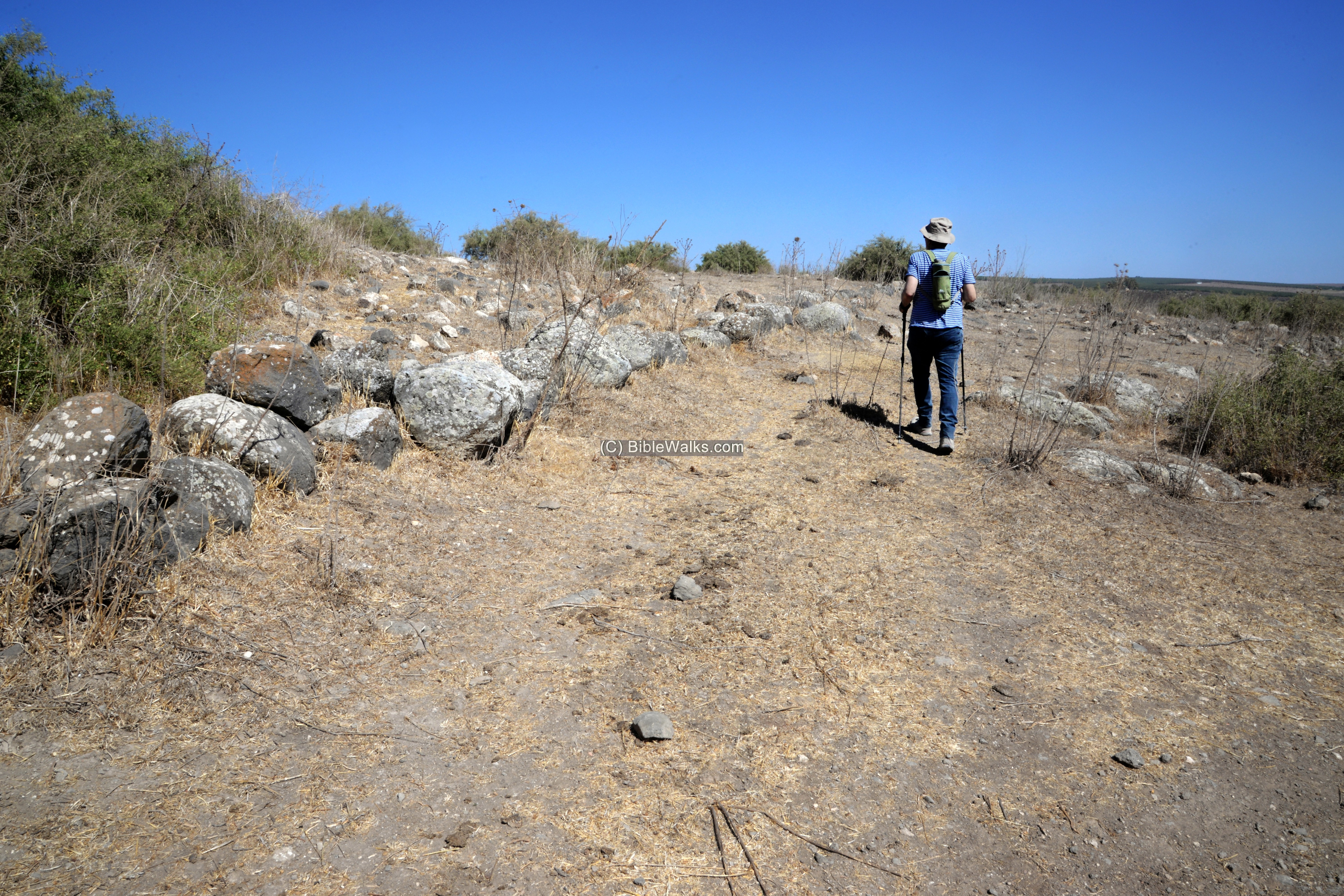
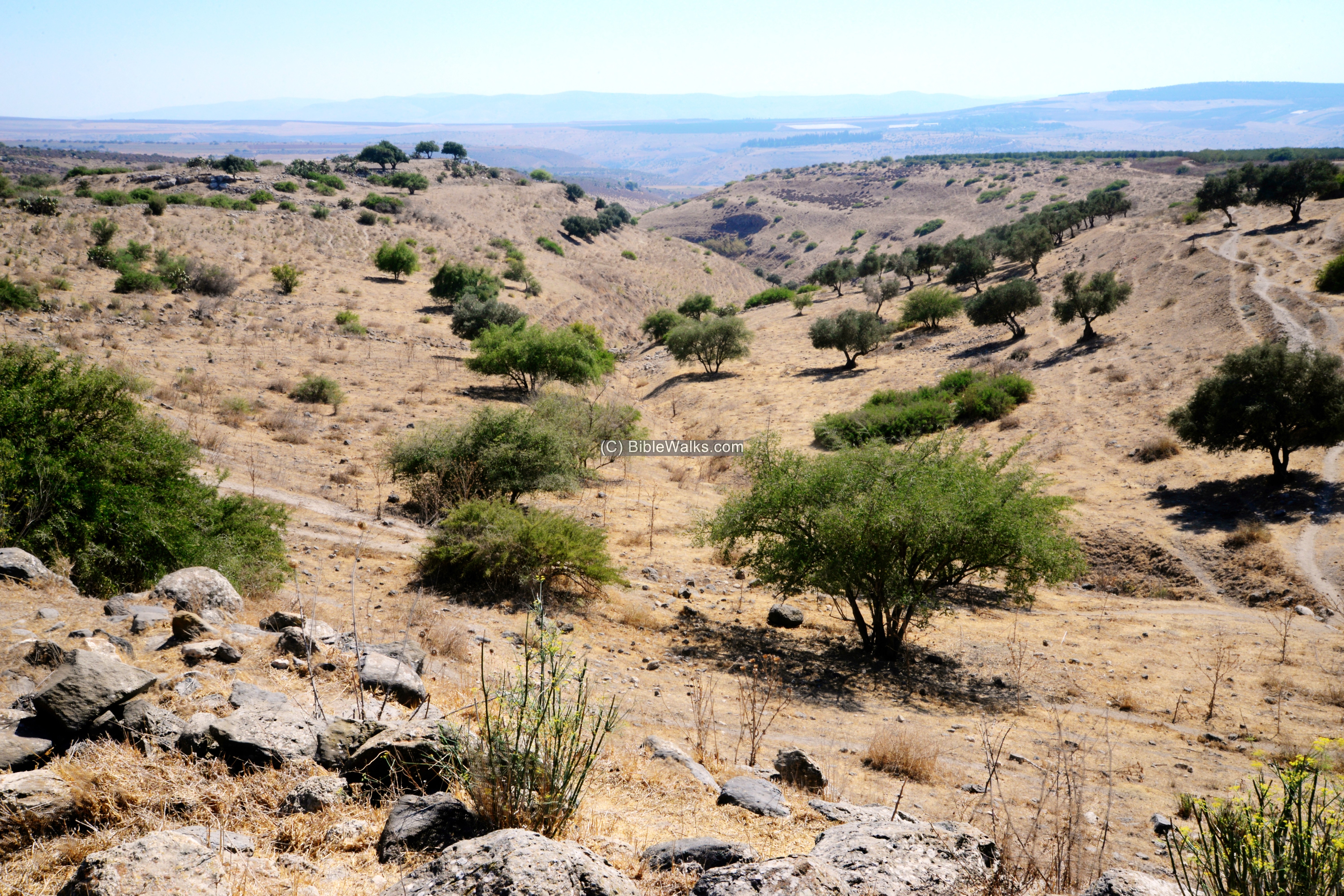
Ruins of the Arab village of Hadatha are scattered along the path, overlooking the valley below.
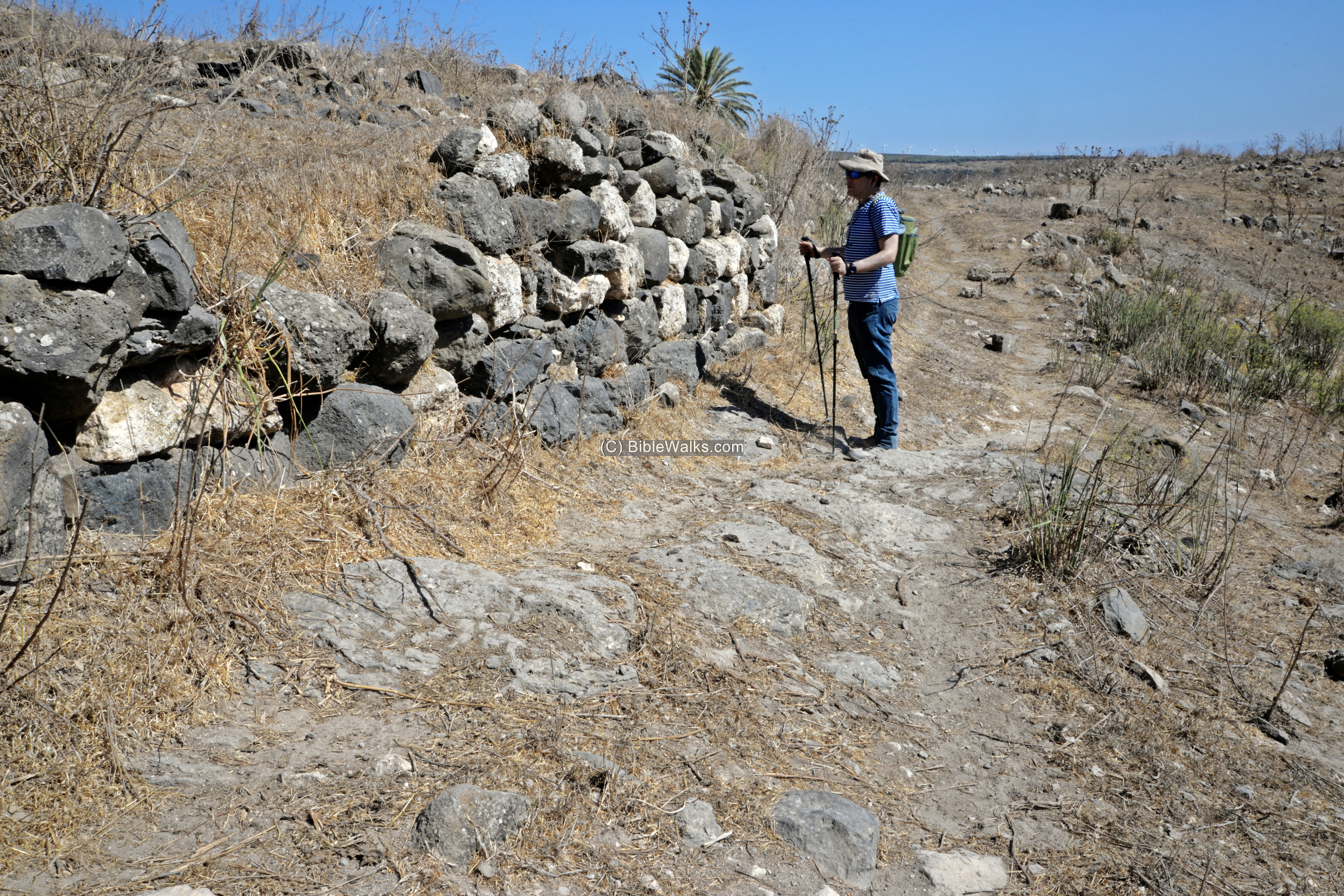
Uncle Ronnie stands in front of one of the few standing walls. This wall is composed of black basalt and white limestone stones – a typical style (“Ablaq” =speckled) that was common in the Mameluke and Ottoman periods.
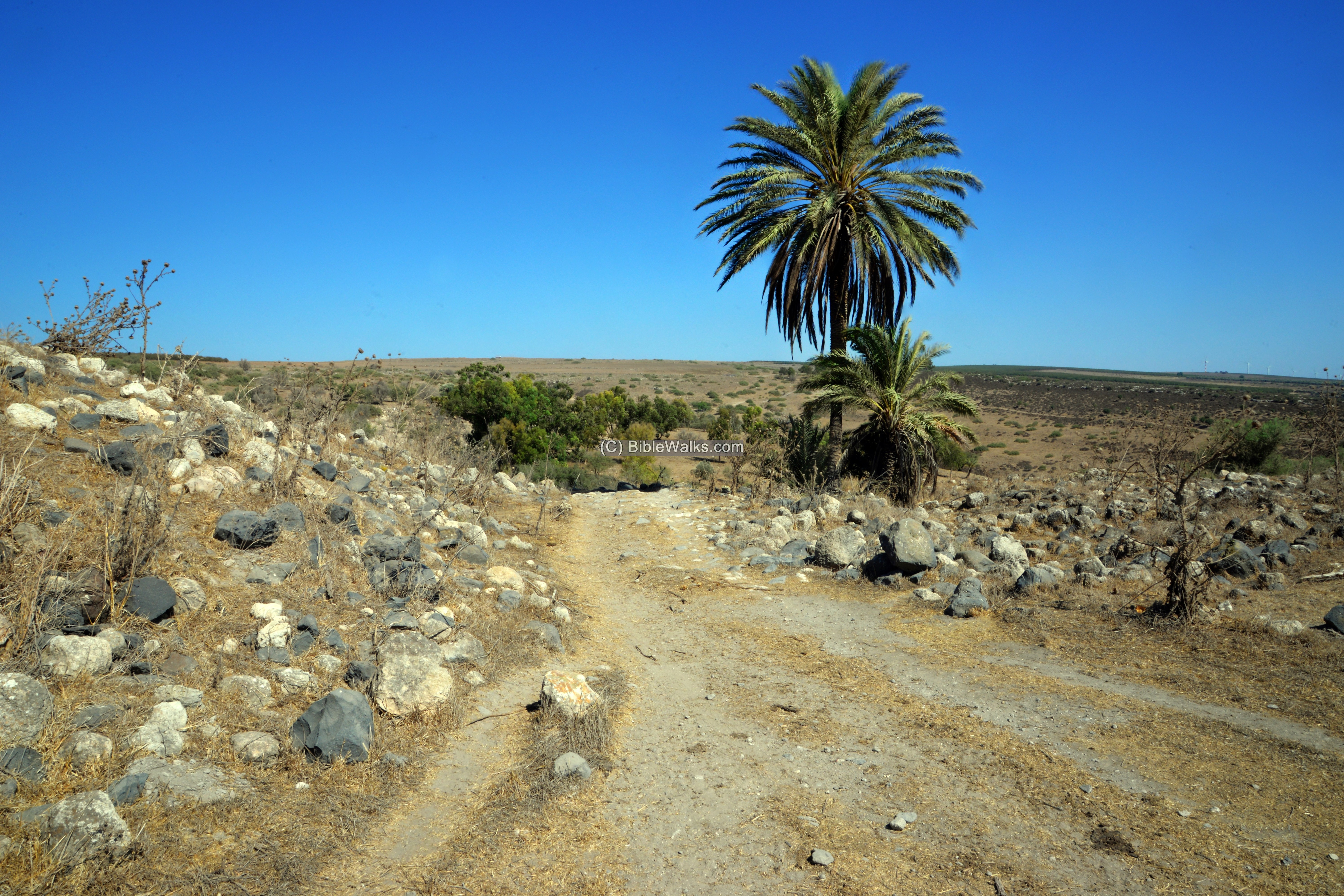
The path leads to the north eastern edge of the ruined village.
An impressive palm tree stands here with its new offspring.
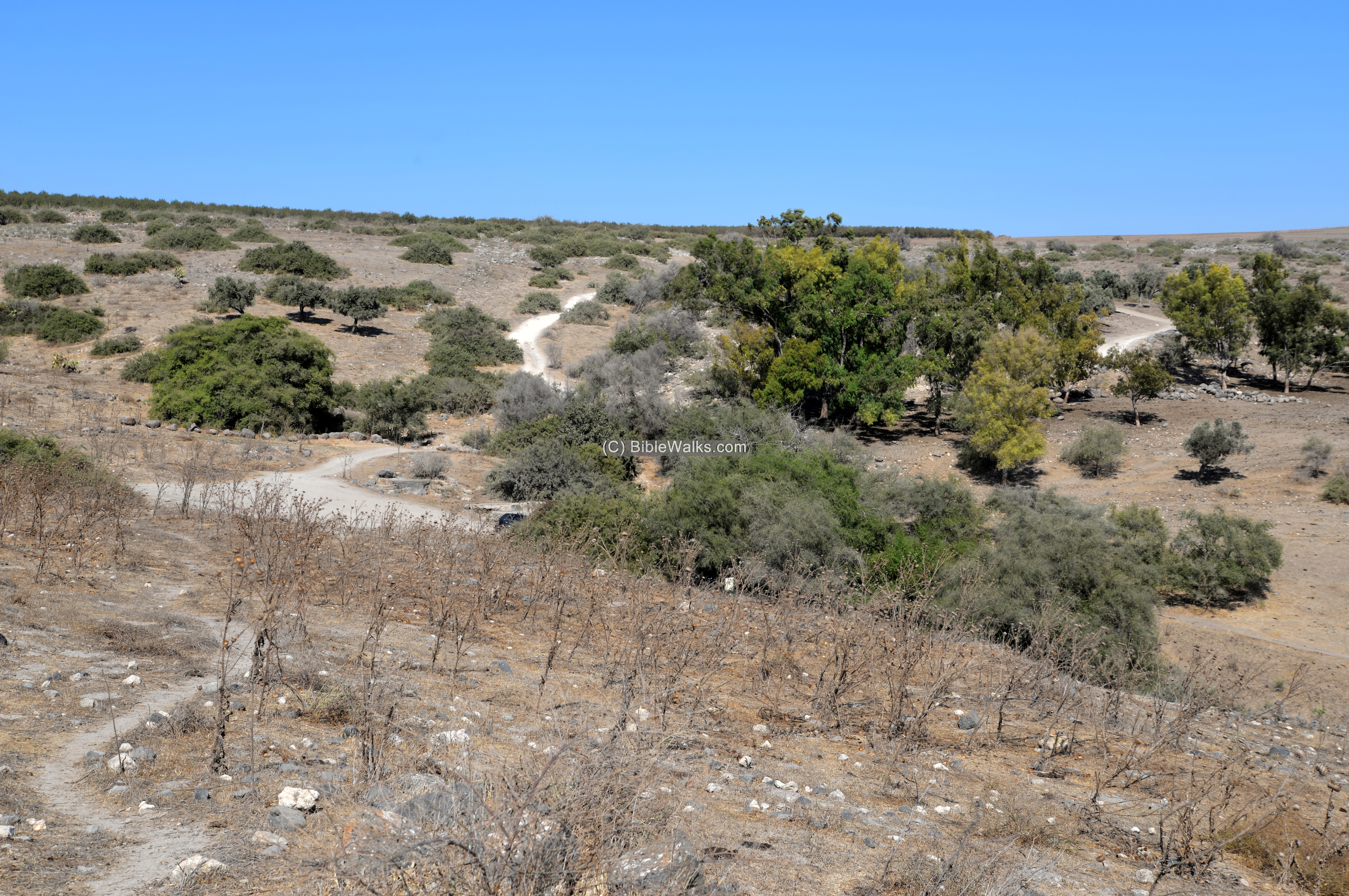
The spring that is located at the eastern edge of the ruins, at the bottom of the foothill.
(c) Ein Haddah spring
A perennial spring on the north east side of the site was the main supply of water to the settlements that were established around it. In this dry land – water is life.
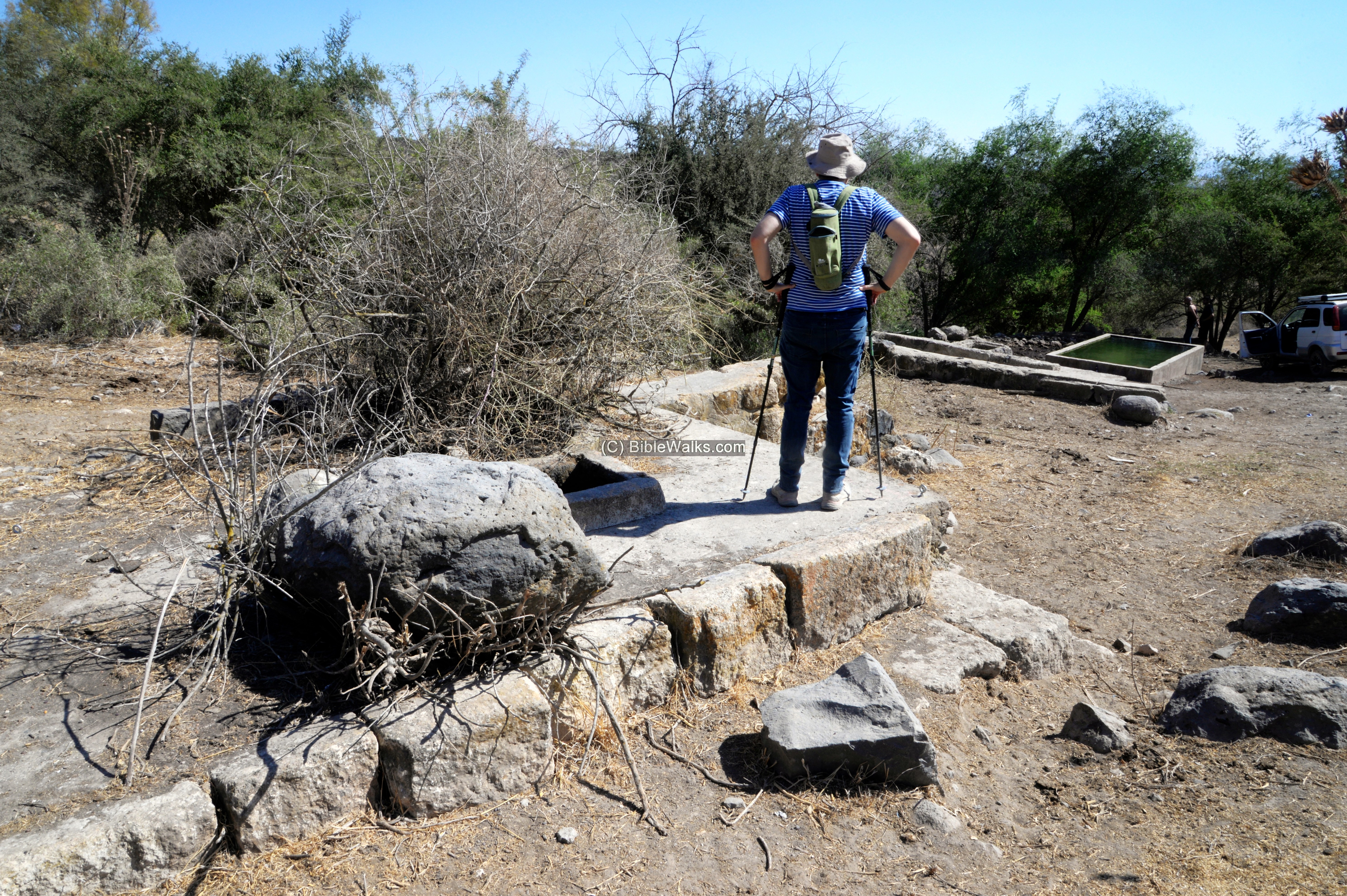
In the past a vaulted spring house was built over it. This is seen in an old photo of 1942 (link). However, now only the foundations are left.
A water trough was built here to provide water to the cattle.
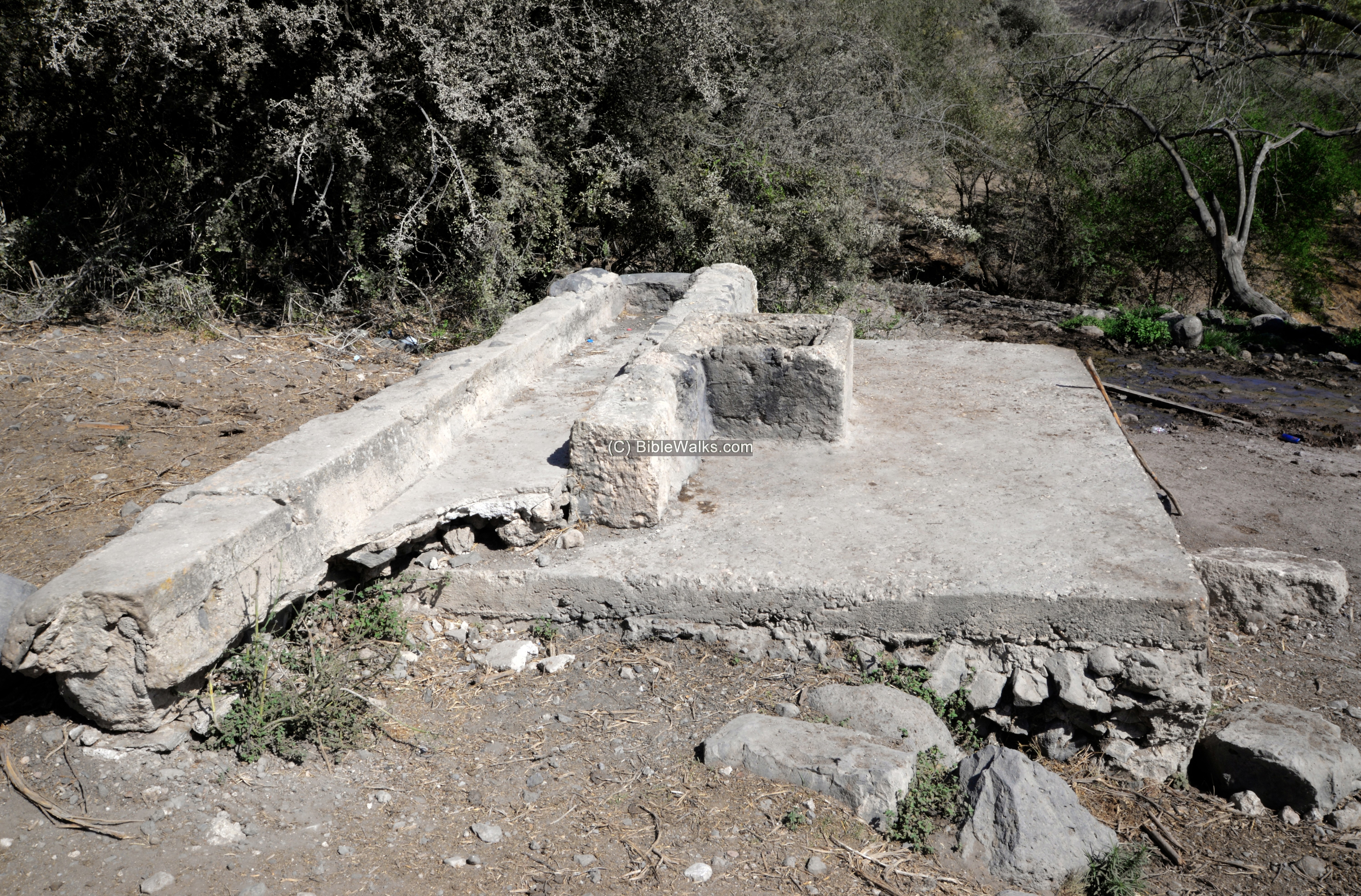
A water basin, 5m long and 2m wide, stores the spring water. Inside it are several happy gold fish.
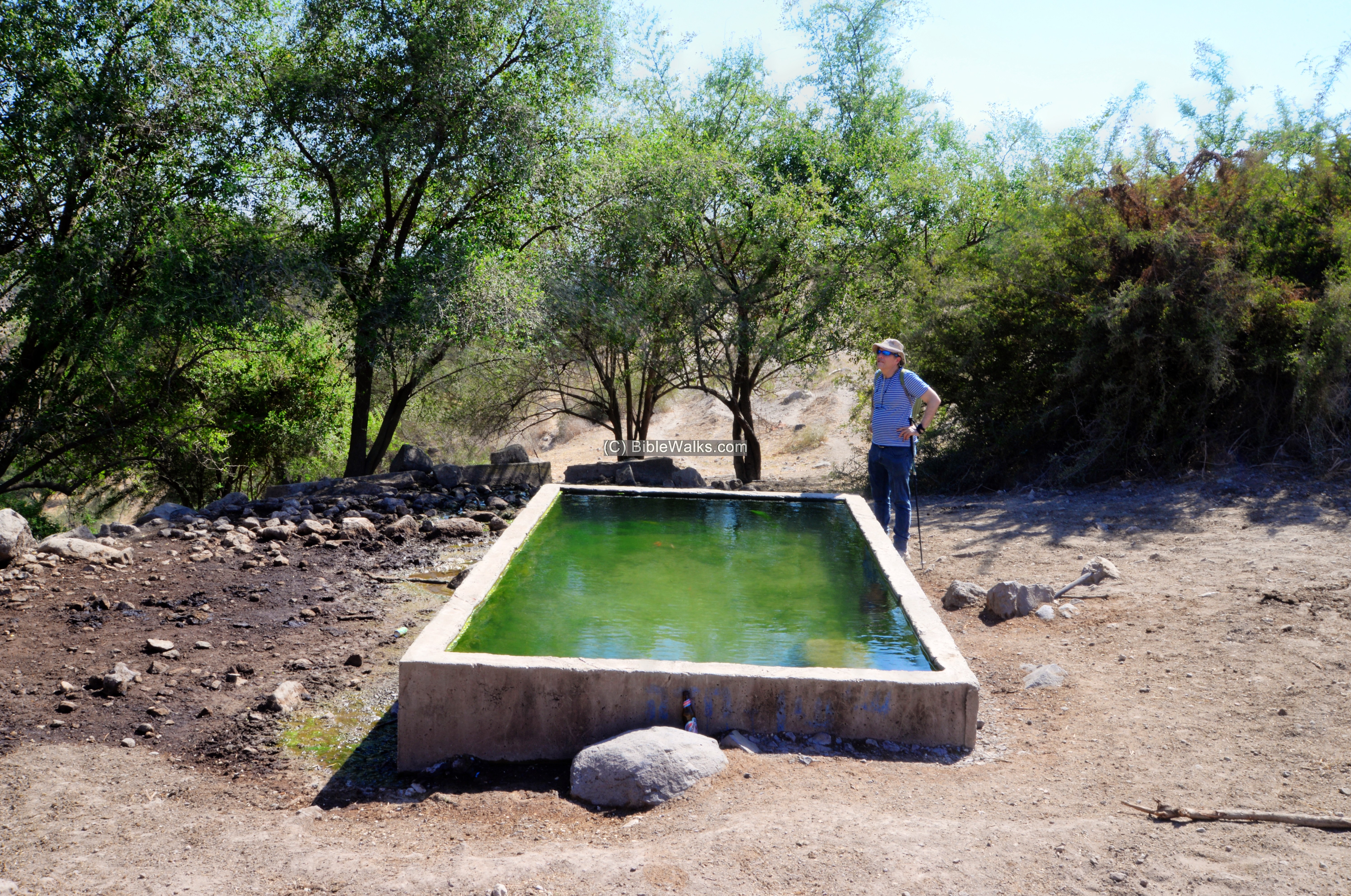
Visitors come here to enjoy the cool and refreshing waters.
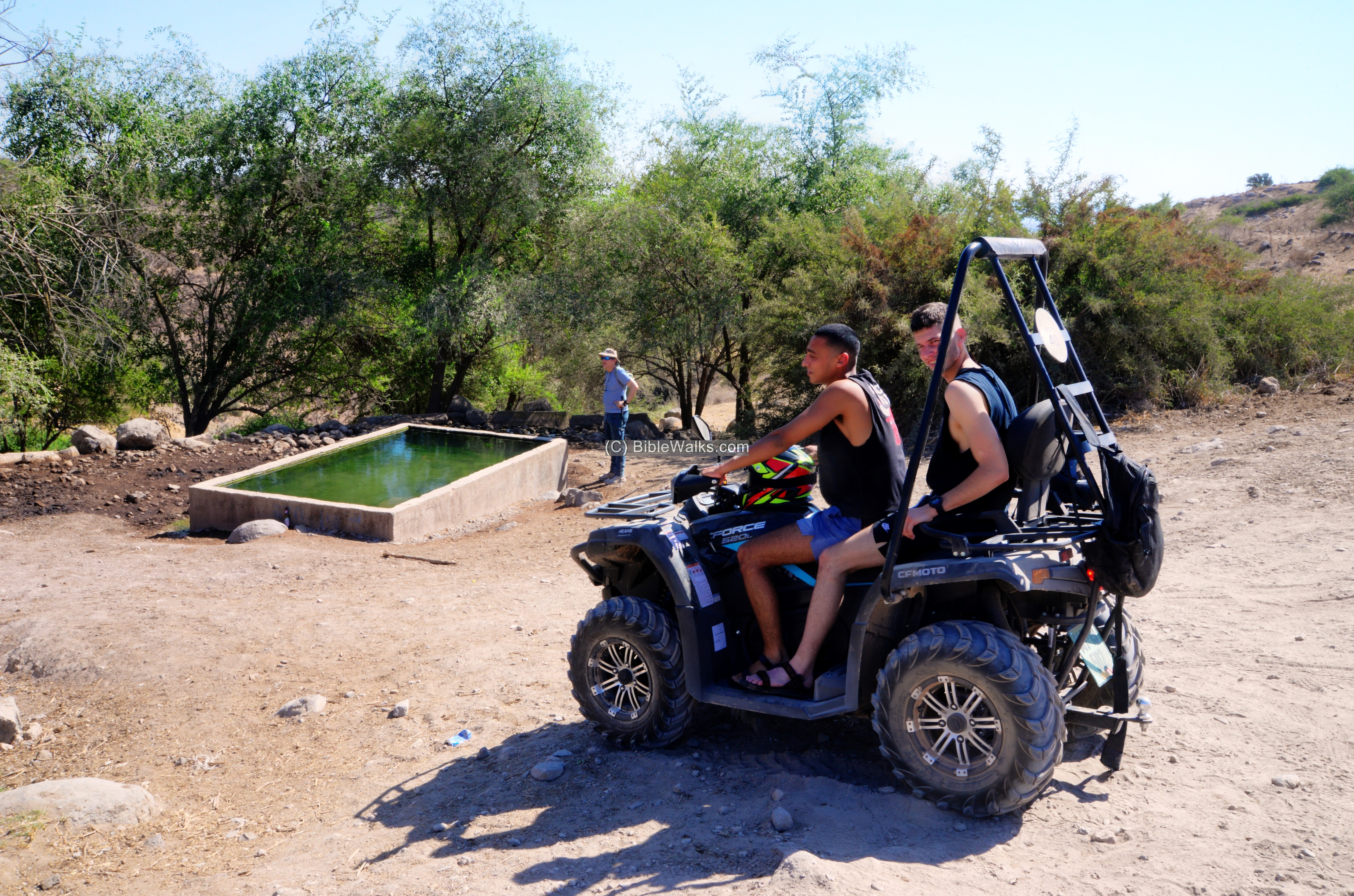
The current height of the spring is 210m above sea level, but it could have been higher at ancient times. If it flows at a descent of 0.3%, it reaches the north east corner of the Biblical city (at 300m distance) with a drop of 1m. The height of the lone large olive tree at that point is 218m. So an aqueduct could have conveyed the water close to the edge of the Iron Age city and even fill up cisterns. Theoretically, if the spring was at slightly higher (219m) it could even fill up the dry moat on the north side of the mound.
(d) Tel Ein Haddah
On the south side is a elongated ridge that is enclosed by the two valleys on its east and west sides. This was once an Iron age period city covering and area of ~20 dunams. On both west and east steep hillsides of the elongated hill are two parallel walls – remains of the Bronze/Iron periods city walls. This view shows the descent towards the valley on the east side.
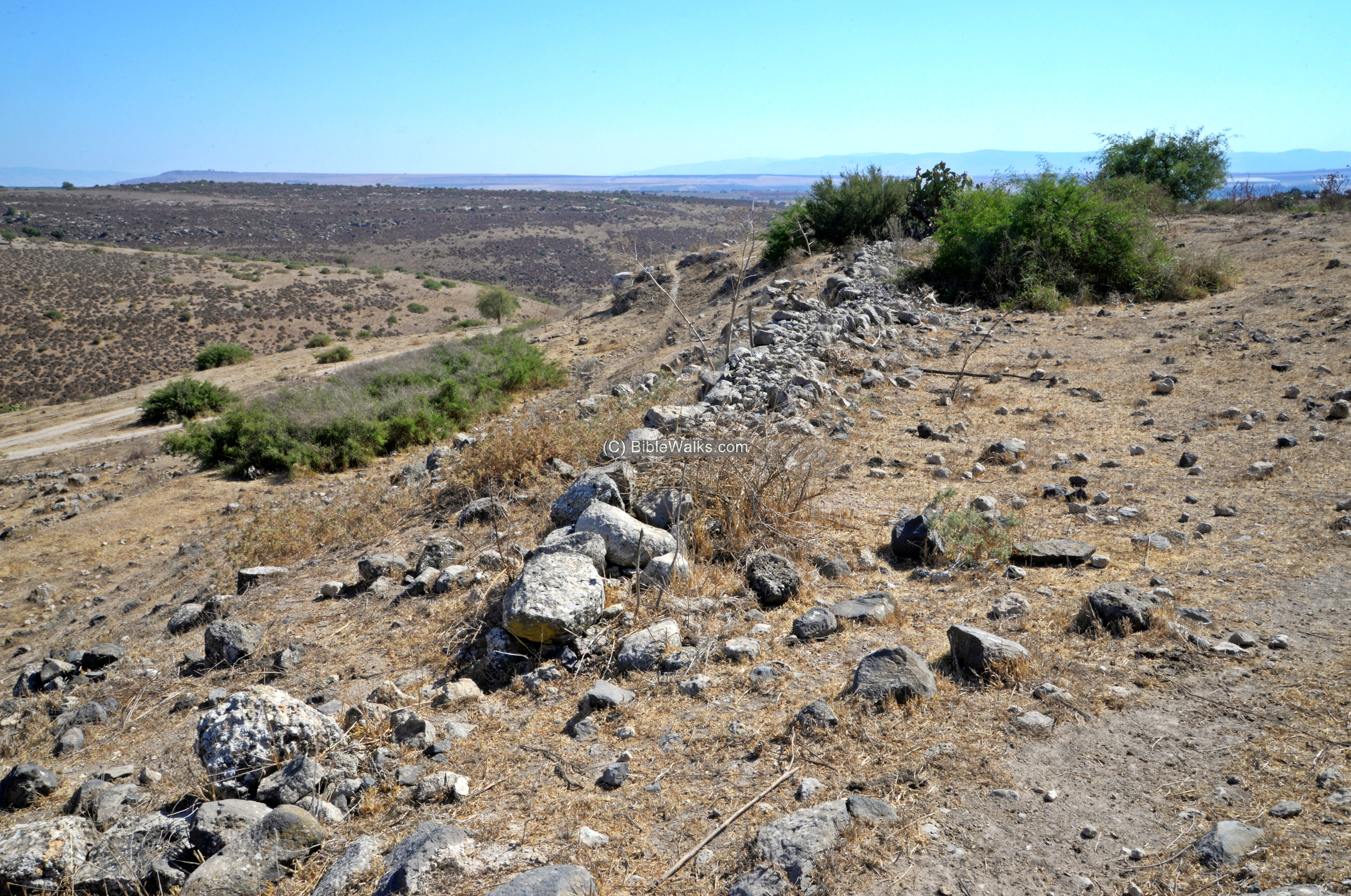
The ancient Biblical city consists of two sections:
- An “upper city” on the north side , a flat sector that spans 150 meters in length and 75 meters in width.
- A “lower city” on its south side. The lower city spans 100 meters in length, tapering from 70 meters wide at the north end down to 40 meters at the south.
A moat separates the ancient city to the north , cut during the Bronze or Iron age. The extracted soil was probably used to raise the peripheral walls. On the east and west side of the moat the earth was pushed towards the valley, as seen in the aerial view.
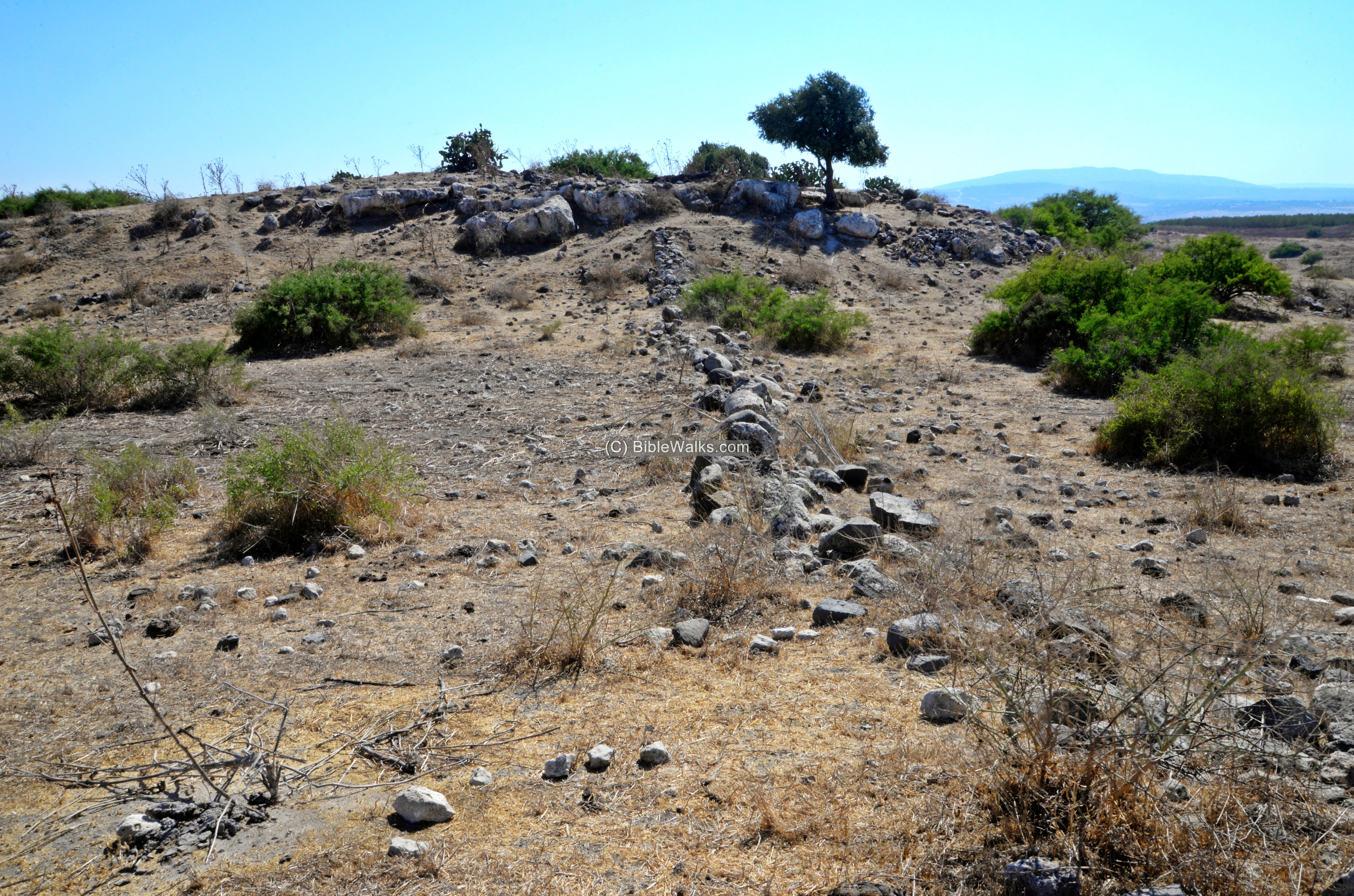
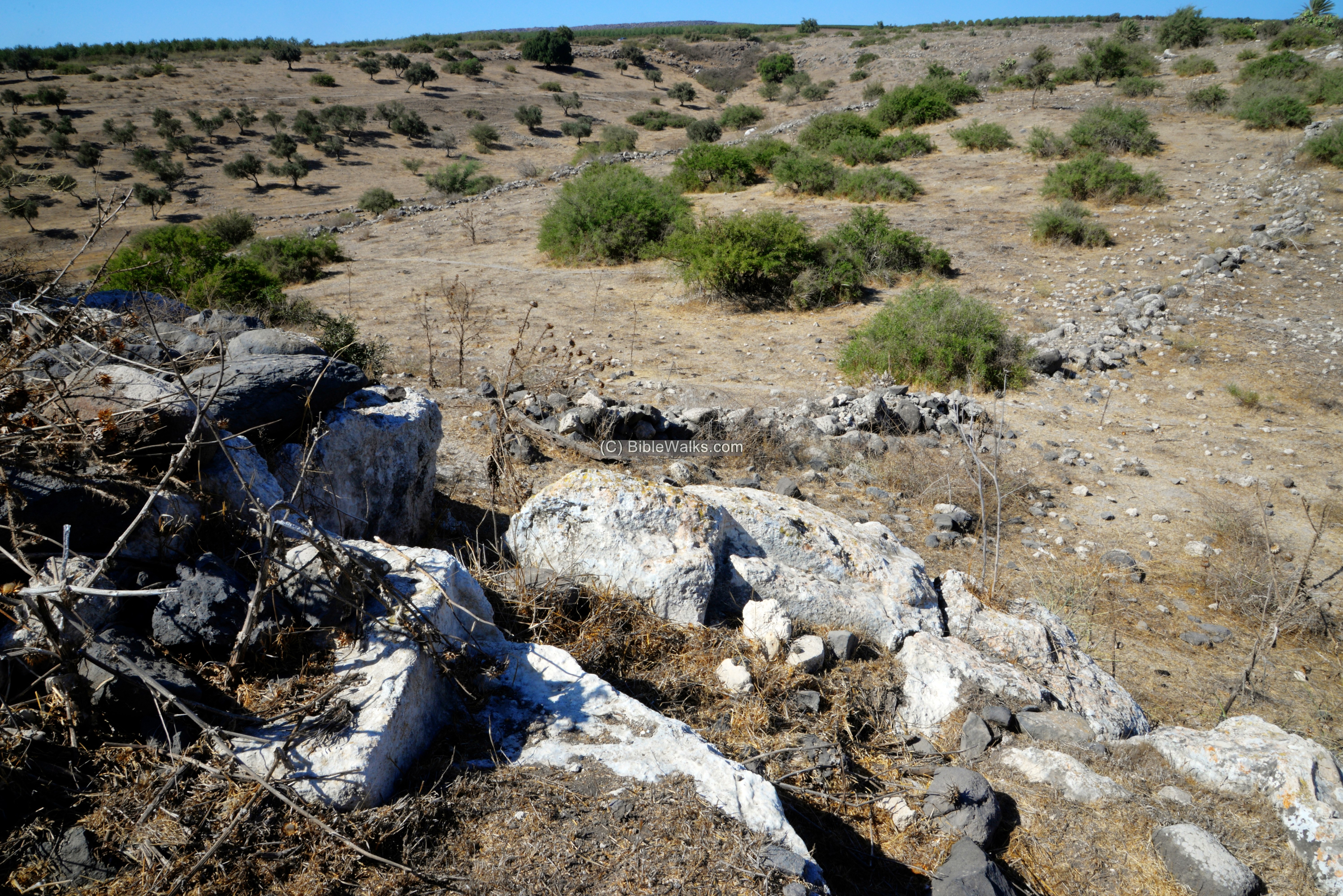
Next is a view, from the elevated section, towards the north:
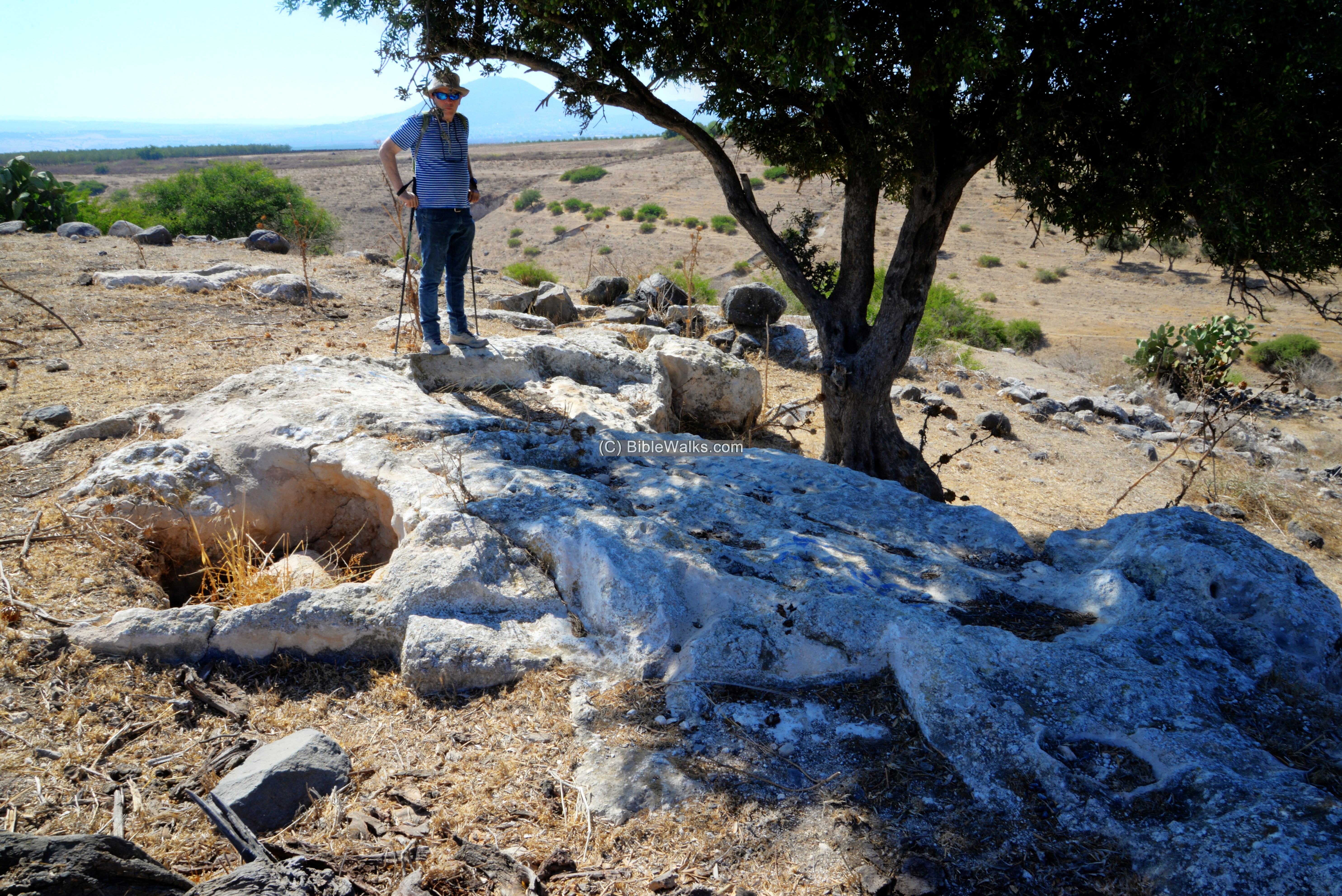
Under the olive tree, at the edge of the elevated section, are remains of agriculture installations cut into the rock.
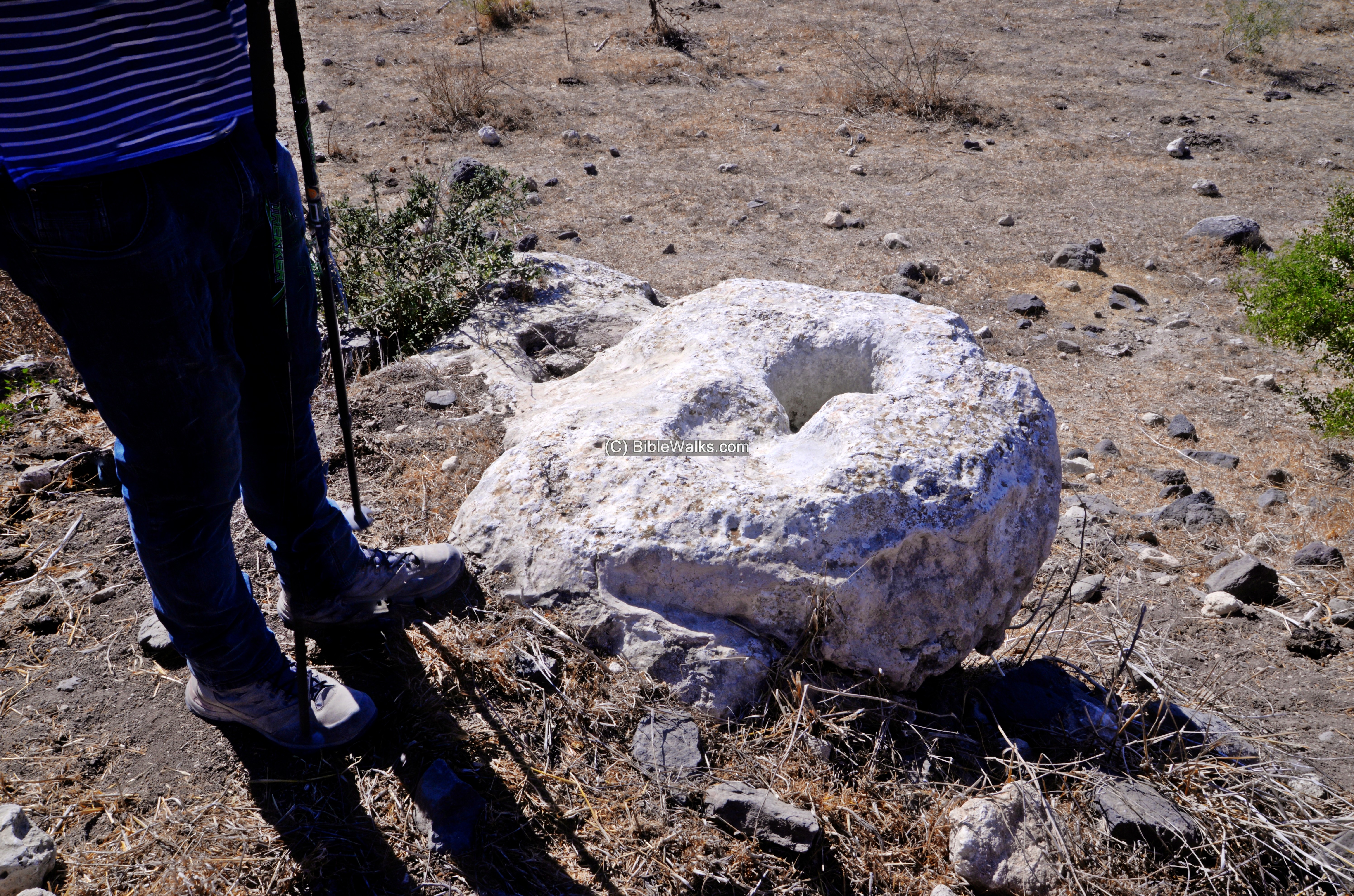
Yet another installation nearby, probably an opening to a cistern:
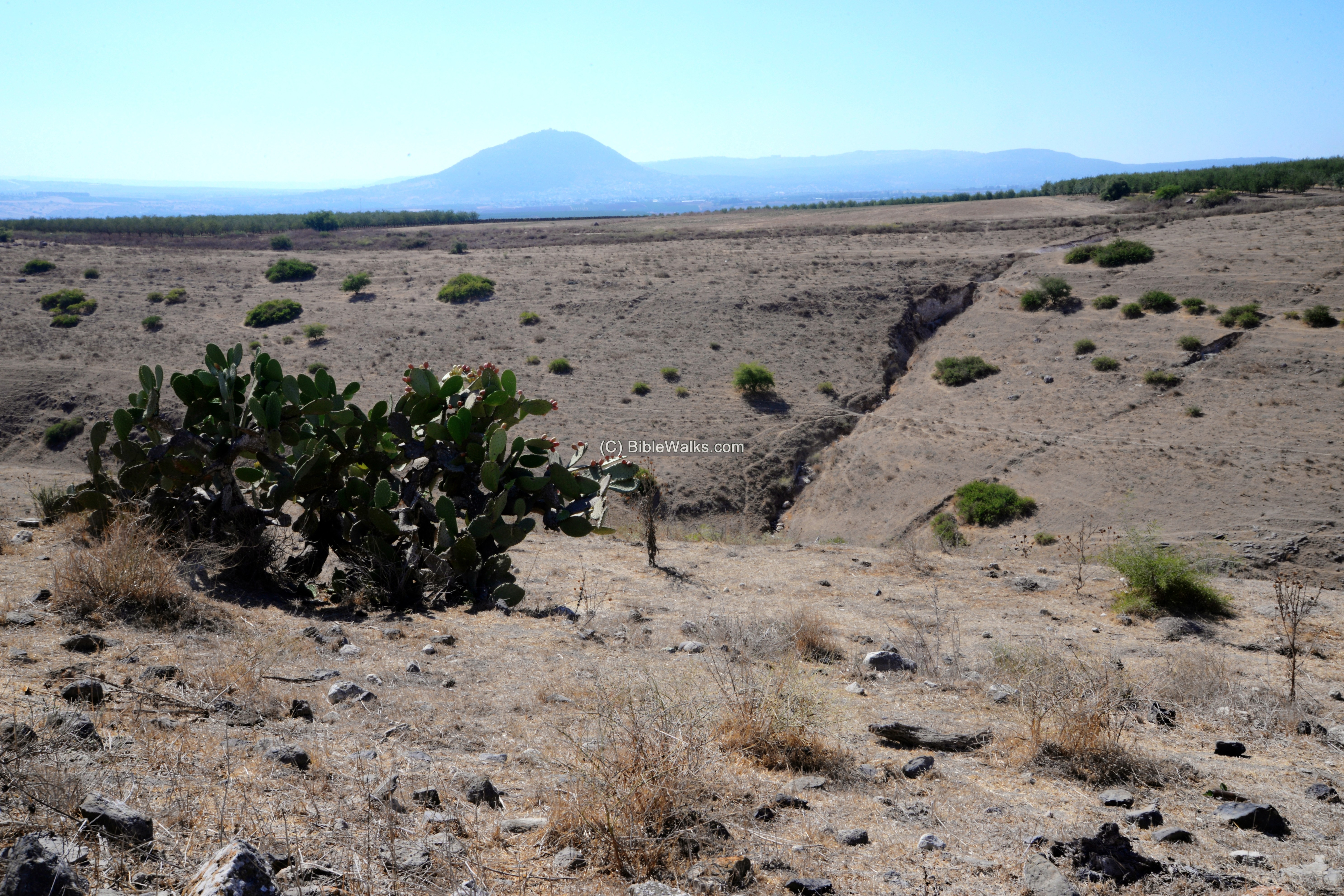
On the west side of the Tel is the deep gorge of the stream. In the far background is Mt. Tabor
On the east side (below) is another deep gorge of Nahal Ein Haddah. The valley is about 70m below the hill.
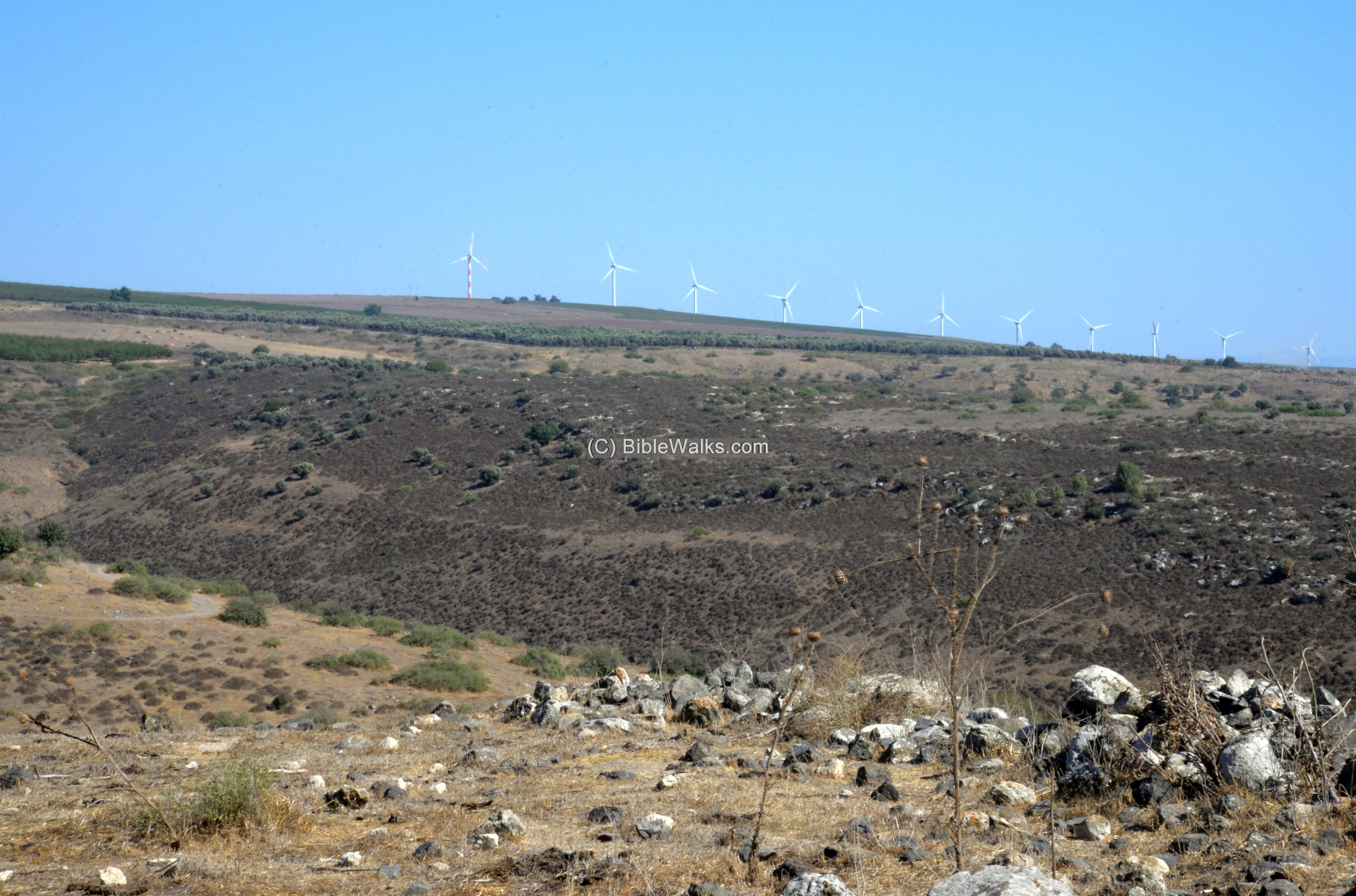
In the far background are the wind energy mills of Sirin ridge. Indeed, the wind here is very powerful. You can feel it while standing on the mound here in Ein Haddah.
(e) West side
We walked back thru the gorge on the west side of the Tel.
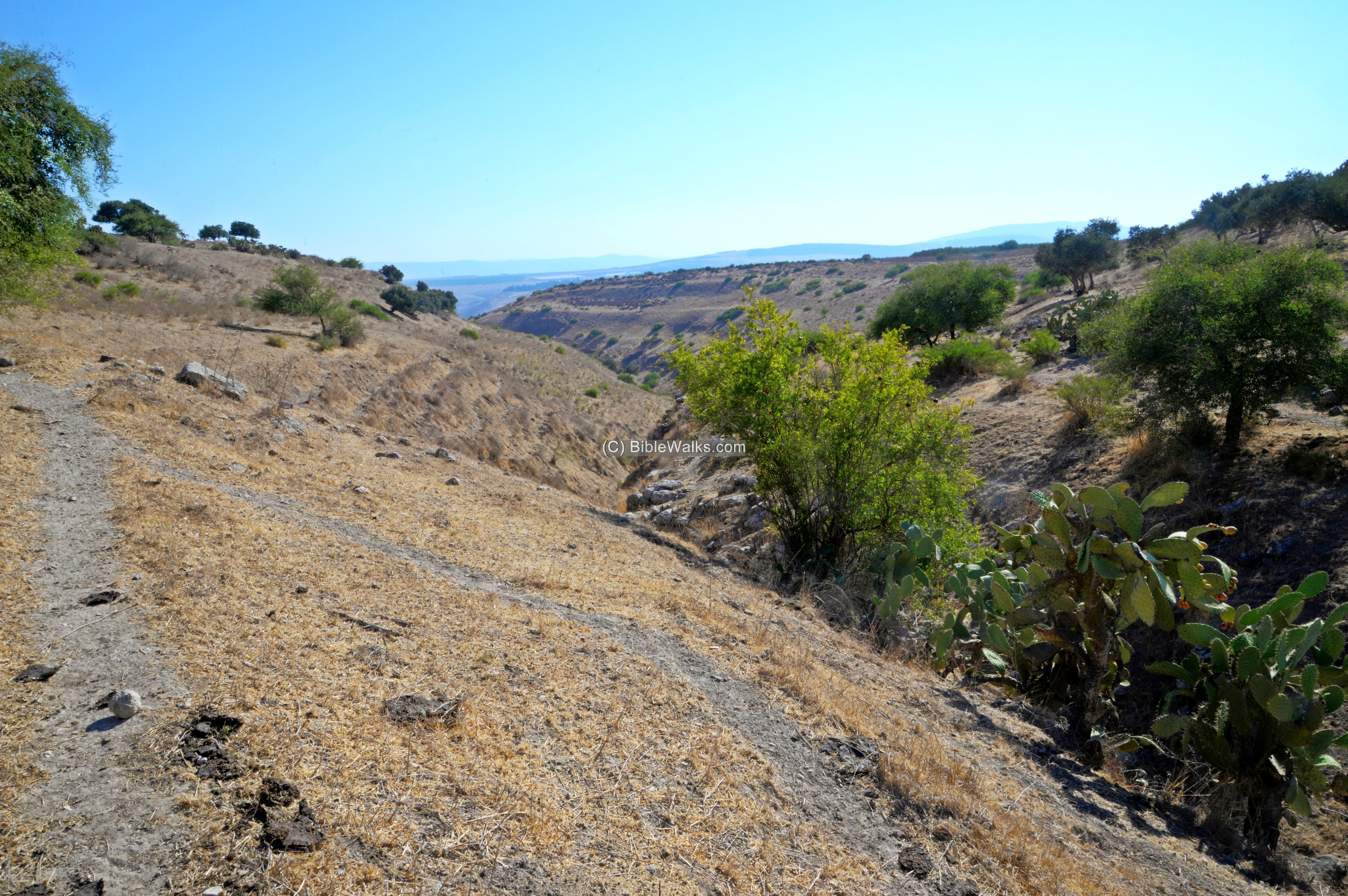
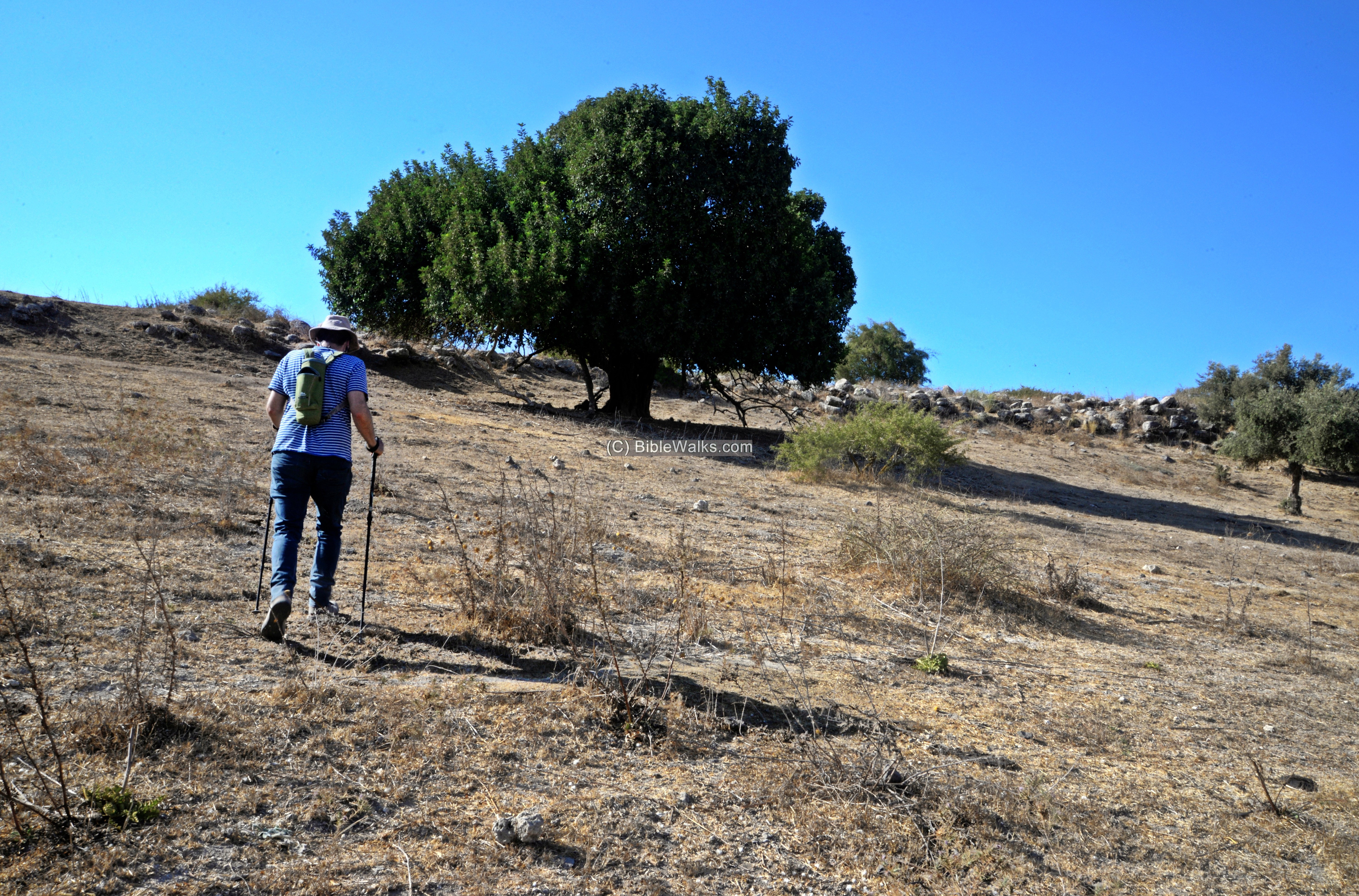
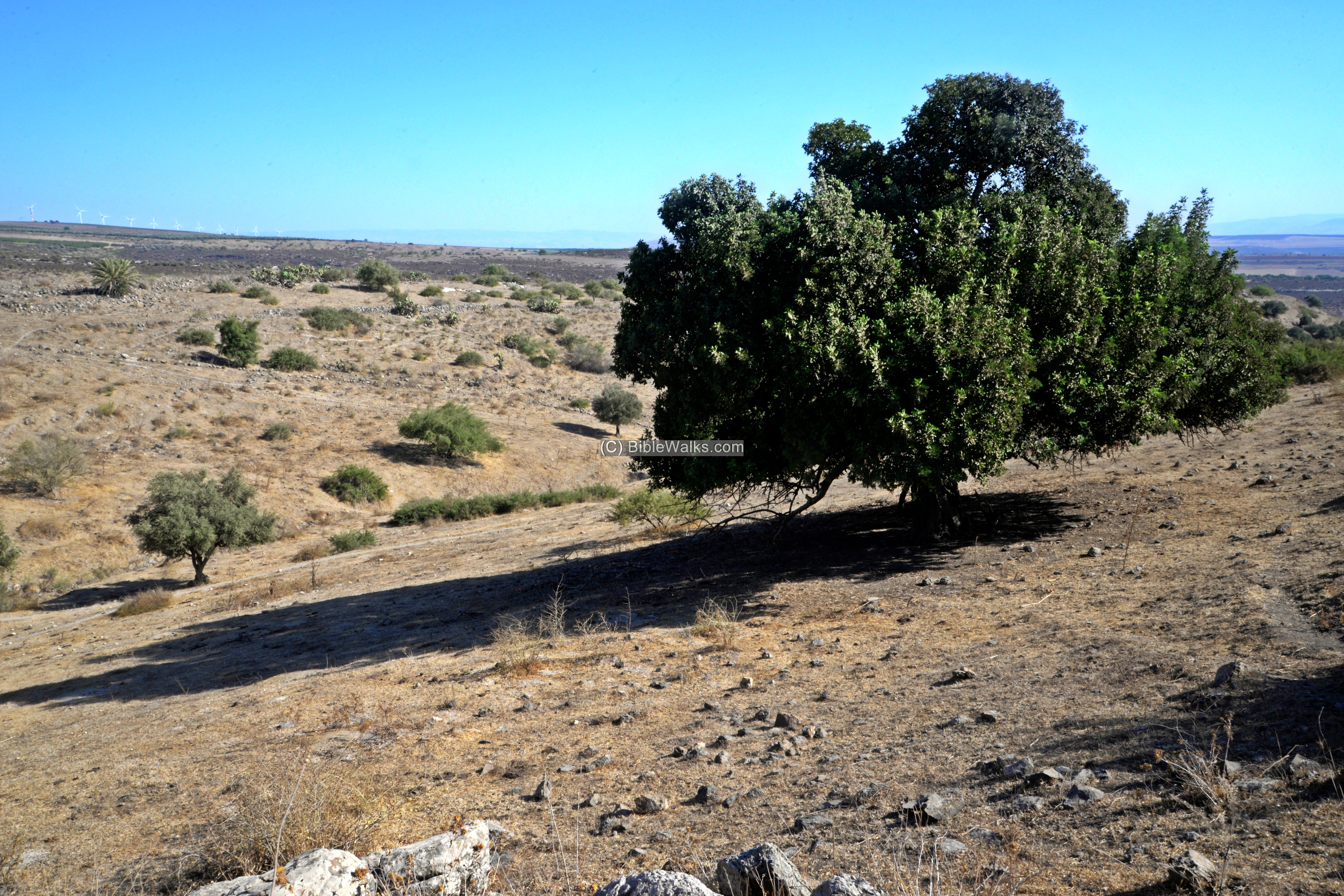
On the west side of the valley is a large Carob (Harub) tree.
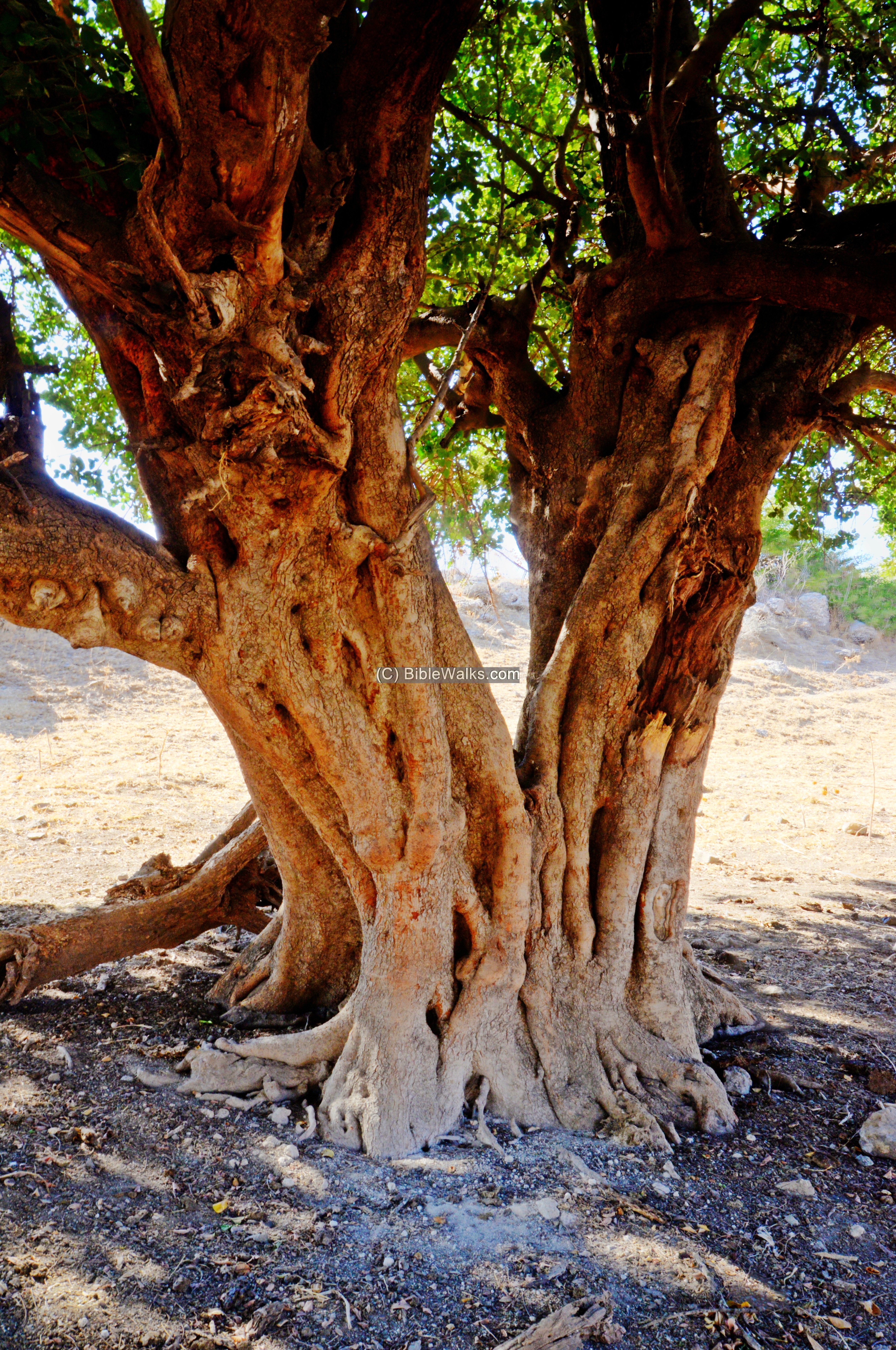
It has a thick bark with multiple sprouts.
Another view of the carob tree and the Tel behind it:
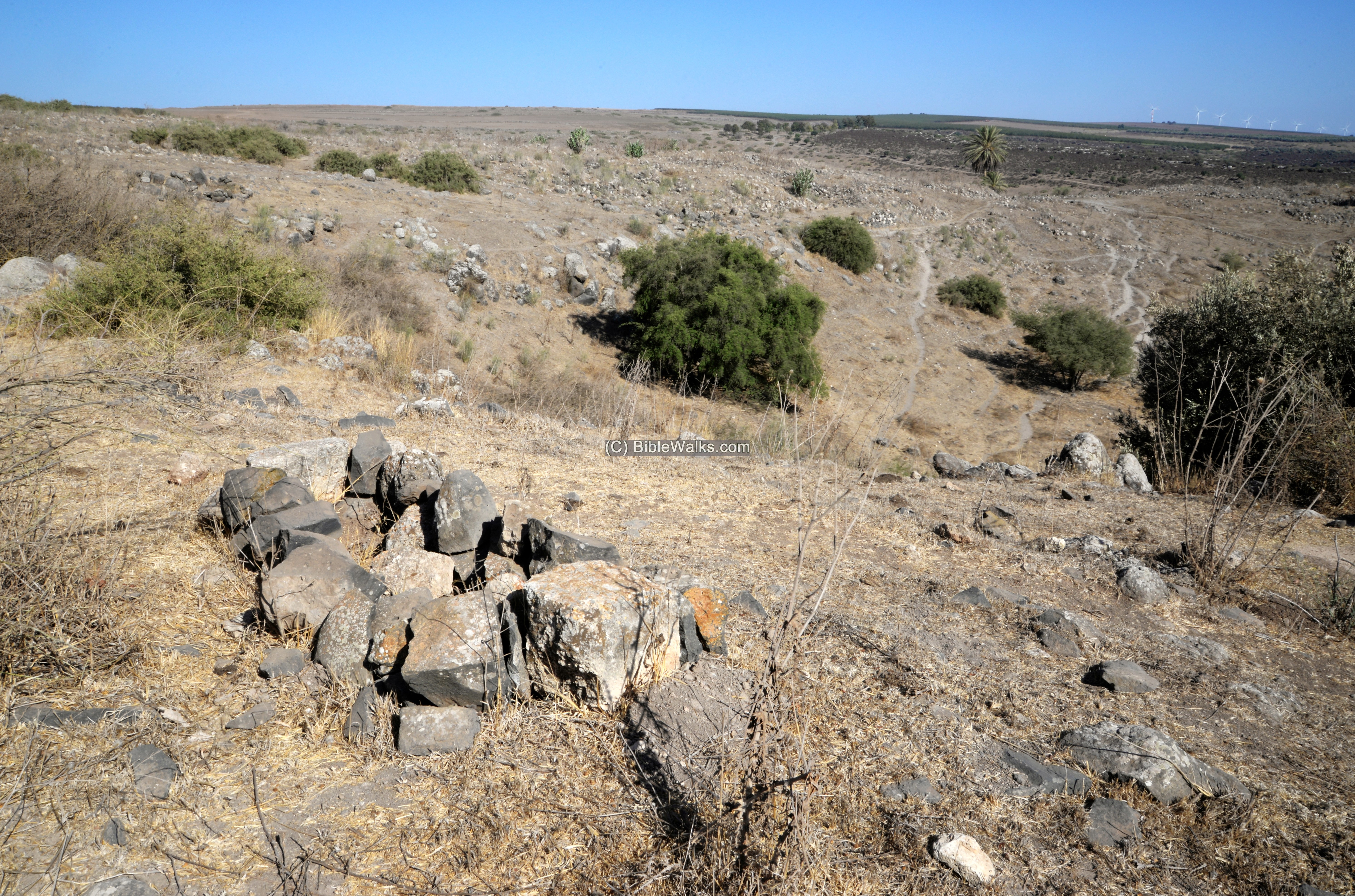
At the side of the tree is an old Arab graveyard, with a view of the ruins of the Arab village.
Video Tour
A tour of the Biblical city on the southern mound was conducted on August 2026, and is summarized in this video tour.
Links and references:
* References:
- “The Boundary between Issachar and Naphtali” – Aapeli Saarisalo – 1927 pp. 59-62 – reviews the site El-Hadeteh
- British era archives (IAA archives, under Hadatha folder)
- The Land of Issachar, N. Zori 1977, site 199 (p.142)
* Internal:
- The untold story of Tel Ein Haddah – BibleWalks tour on YouTube
- Tel Rekhesh – nearby ancient city
- BibleWalks YouTube channel
Etymology (behind the name):
- Ein – Hebrew for spring (‘Ain in Arabic)
- Haddah – Hebrew: חדה (meaning sharp)
- Yavne’el (Jabnael) – Moshav established in 1901. Hebrew: “G-D builds”. Taken from the name of a biblical city (Joshua 19:33). Its former name was “Yemma”.
BibleWalks.com – exploring the ancient sites of Israel
Tel Rekhesh<<<—previous Yizreel Valley site—<<< All Sites>>>—next site—>>> Harod spring
This page was last updated on Sep 3, 2026 (add video)
Sponsored links: