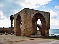
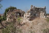
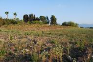
This page summarizes the sites that are reviewed in the region of Western Galilee.
Home > Sites > West Galilee > Sites Gallery
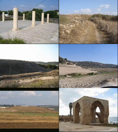
This page is a sites gallery of the region of West Galilee. These sites are on the shore area of the Galilee, excluding Acre sites which are reviewed in a separate page.
On each site below you can:
- read a short summary (above the picture)
- read the biblical reference (below the picture)
- click on the title to get to the review of that site.
- click on the photo to see the picture at full resolution.
You can also see the list of sites on a map of the region, and use it to navigate among the places.
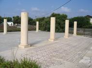
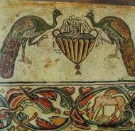
A community and agriculture village south of Nahariya, with a Byzantine Church and beautiful mosaic floor.
Today an Arab city 8KM from the bay of Haifa, on the west hills of the Galilee. In Roman times – the place of the Sanhendrin. The Crusaders built here a fort to protect the road from Acre to Nazareth. Later, a fort was built in the 18th C.
An ancient city on the ancient road from west (Shefaram, Acre) to east (Sepphoris, sea of Galilee). The site existed for over 4000 years.
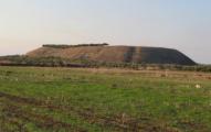
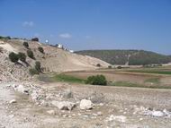
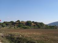
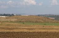
The Tell is a biblical city , south-east to Acre. The site is located on the ancient road of Via Maris, the major highway that connect Egypt to Syria and the north. This Tell dominates the entire plains south-east to Acre. Its identification is not certain; some scholars identify it as Achshaf or biblical Cabul.
The Tell is a biblical city on the ancient Via Maris road, east to Acre, near Kibbutz Yasur. It is identified as Rehob, part of Asher’s tribe cities.
1 Chronicles 6:65: “…And Hukok with her suburbs, and Rehob with her suburbs:”
The Tell is a biblical city on the ancient Via Maris road, south to Acre.
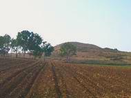
Judges 1: 31: ” Neither did Asher drive out the inhabitants of Accho, nor the inhabitants of Zidon, nor of Ahlab, nor of Achzib, nor of Helbah, nor of Aphik, nor of Rehob”.
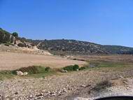
The west side of Nahal Zippori (Sepphoris creek) has several ancient sites spanning from Prehistoric times until recent time. They enjoyed the year round water flowing in the valley, the great soil, and strategic location.
The west side of Nahal Zippori (Sepphoris creek) has several ancient sites, including a fortified biblical city and agriculture villages.
Joshua 19:24-25″ “And the fifth lot came out for the tribe of the children of Asher according to their families. And their border was Helkath, and Khali, and Beten, and Achshaph”
Tell Regev was a biblical fortified city that was one of the passing points across the Kishon river. Its history spanned from the Early bronze age to the Byzantine period. It belonged to the Asher tribe, but its identification is not certain.
Joshua 19:25: “And their border was Helkath, and Khali, and Beten, and Achshaph“.
Tell Par was a biblical village. It belonged to the Asher tribe, but its identification is not certain. The site was continued in the nearby site of Kh. Ibtin. It may be “Beten” from the book of Joshua.
Joshua 19:24-25: “And the fifth lot came out for the tribe of the children of Asher according to their families. And their border was Helkath, and Khali, and Beten, and Achshaph”.
A resort town located on the junction of Via Maris and the Ga’aton river, near the border with Lebanon. A number of archaeological places were excavated in the city, including a Canaanite temple a Byzantine church.
Tell Achziv is a major coastal Biblical city that existed over 30 centuries, and is located on the outlet of Kziv creek close to the border with Lebanon.
Joshua 19 29: “And the fifth lot came out for the tribe of the children of Asher … and the outgoings thereof are at the sea from the coast to Achzib”.
Khirbet Sharta is the ruins of a small village in the north-east part of Kiryat Atta. This village existed from the Iron age to the Byzantine period, and was located on two hills.
The ancient town of Usha was, for two times, the seat of the Sanhedrin during the Roman period.
Jeremiah 50, 15: “Shout against her round about: she hath given her hand: her foundations are fallen, her walls are thrown down”.
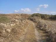
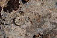
A section of a Roman road north of Usha, between Kiryat Atta and Shefaram. An inscription on a rock (“CAB”) may have been an ancient Sabbath zone marker.
The Tell is located on the ancient Via Maris road, south to Afek. It was inhabited from the Bronze period through the Byzantine period.
(Isaiah 9,1): …the way of the sea… in Galilee of the nations.
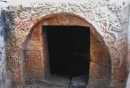
Byzantine period Christian burial caves, with one of the most remarkable rock carvings in the Galilee. The exterior and interior of the caves are richly designed.
The largest river in Israel. Many Biblical events and sites are located along its banks.
Judges 5 21: “The river of Kishon swept them away, that ancient river, the river Kishon”.
Ruins of a Crusader hilltop fortress in the Upper Western Galilee near Kibbutz of Yehi’am.
BibleWalks.com – walk with us through the sites of the Holy Land
Sites Navigation: On all featured sites, you can use the navigation aid at the end of the page for proceeding to the next site. The navigation bar takes you through a tour of the sites. At the bottom of each site you can navigate forward or backward, or return back to a full list of all sites in all regions of Israel.
<<<All Sites>>>—next Western Galillee site—>>> Shavey-Zion
This page was last updated on Nov 14, 2015 (Added Yehi’am)
Sponsored links + sample links to BibleWalks sites:
