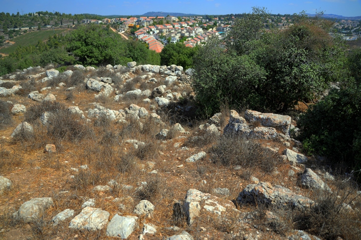
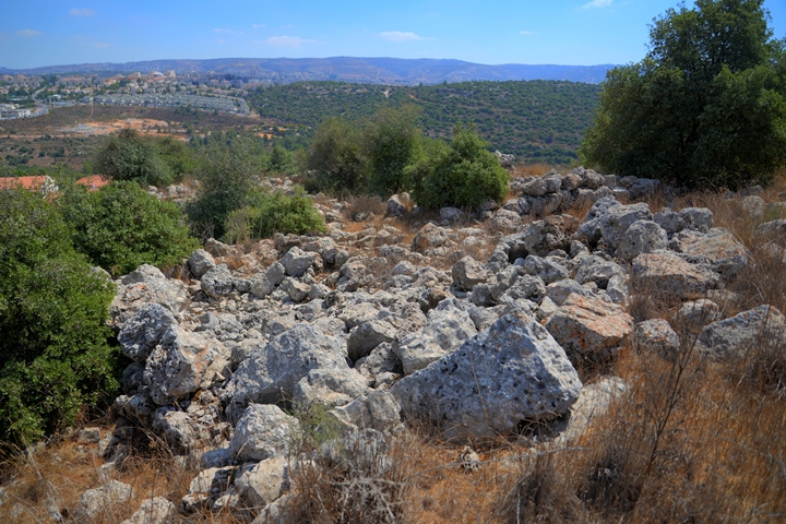
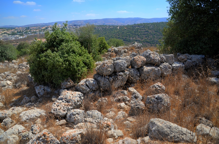
Horvat Geres (Kh. Jurish) – Ruins of a second temple period fortified village, west of Zur Hadasah. Identified as the village of Geresa.
* Site of the month May 2018 *
Home > Sites > Judea> Horvat Geres (Khirbet Jurish)
Contents:
Overview
Aerial Map
History
Photos
* Aerial
* Cave complex
* South
* East
* North
* Roman road
* Video
Etymology
Links
Background:
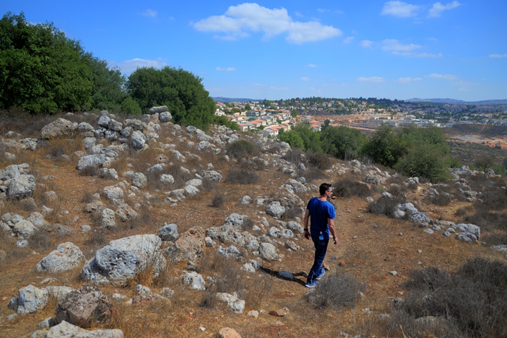
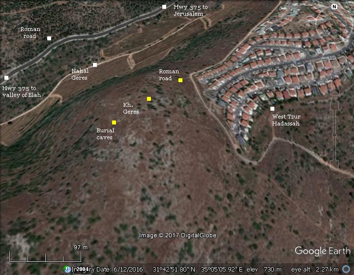
Ruins of an ancient fortified village, situated on a hilltop west of the community of Tzur Hadassah in the mountains around Jerusalem. The ancient village was strategically located near an intersection of two major Roman roads ascending to Jerusalem and Bethlehem.
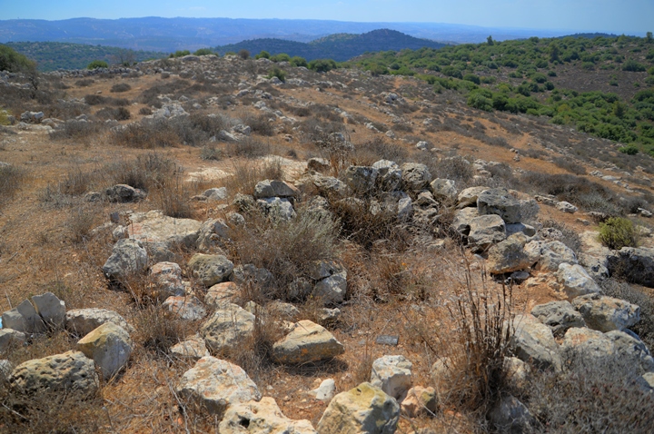
Scattered on the summit (alt. 751m) are 40 dunams of ruins, which include sections of walls and structures, many cisterns, burial caves, agriculture installations and traces of a local Roman road. Ritual baths (Mikva’ot) found at the site identify it as a Jewish village, perhaps Geresa – a second temple period village which was captured by Vespasian during the Great Revolt and killing there 1,000 young men (Josephus Wars 4, 9, 1).
Wars 4,9,1: “Vespasian… also sent Lucius Annius to Gerasa.”
Location:
Kh. Geres is situated on a hilltop at an altitude of 751 m above sea level, in the mountains around Jerusalem. The ruins cover an area of 40 dunam (4 hectares).
The hill’s modern name is Har Kitron, named after the Coronilla flowering plant.
History:
-
Hellenistic period
According to the dating of ceramics collected on the hill, the first period of settlement was during the Hellenistic period.
-
Early Roman period
Geres (Geresa) is strategically located near the intersection of two major Roman roads from the coast to Jerusalem. The first Roman road (“Caesar’s Way”) was part of the ancient road from Ashkelon, a large Roman port city on the coast, to Bethlehem and Jerusalem. It ascends from the valley of Elah, passing along the northern bank of the valley below the site. The same route is now followed by the modern highway #375.
A second Roman road, following another route along the valley of Nahal Dolev from Beit Shemesh (now a section of highway #3866), passed through the ruined village of Bayt ‘Itab (Biblical Etam), then joined it at an intersection (aka the “fork” junction) just 0.5km to the north east.
There is an important document that illustrates the “Caesar’s Way” Roman road at the 4th century. The Peutinger Map (Tabula Peutingeriana) is a medieval map which was based on a 4th century Romhttp://biblewalks.com.com/an military road map. The map shows the major roads, with indication of the cities, and geographic highlights (lakes, rivers, mountains, seas). Along the links are stations and distance in Roman miles (about 1.5KM per mile). The roads are shown as brown lines between the cities and stations. In the section shown below is the area of Jerusalem, drawn in a rotated direction (Egypt on the left, the Mediterranean sea on the top). Jerusalem is illustrated in the center as a double house icon, which represents a major city. It is listed as “formerly called Jerusalem, now called Aelia Capitolina” (antea dicta Hierusalem n(unc) Helya Capitolina).
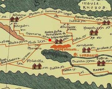
Part of Peutinger map, based on 4th century Roman road map.
The section where the Roman road passes near Geres is indicated as a red square. Ashkelon is marked as “Ascalone”. Stations along the road are marked as:
-
“Caper (zac) aria” – Kefar Zacharia (XXIIII=24 miles from Jerusalem), located on Tell Zakariya, southwest of Beth Shemesh
-
“Beto gabri” – Beit Guvrin (additional VIII=8 miles, and XVI=16 miles from Ashkelon).
The total distance of this road is 48 Roman miles, or about 71km – the actual distance between the two cities.
Although most of the milestones found along this road are from the second century AD and beginning of the 3rd century AD, the Roman road traced the Biblical way through the valley of Elah and so was in use during the second temple period.
Great Revolt:
According to Eli Shenhav, the excavator of the adjacent Horvat Hanut (4km west), the “Caesar’s Way” road may have been in use during the Great Revolt against the Romans (66-73/74 AD). His assumption relies on Josephus Flavius’s accounts of the Roman campaign to capture the city of Gerasa in Judea, which was located at Khirbet Geres (Jurish). Josephus wrote that Lucius Annius, under the command of Vespesian, went to Gerasa and slew its 1,000 young men (Wars 4, 9: 1):
“And now Vespasian had fortified all the places round about Jerusalem, and erected citadels at Jericho and Adida, and placed garrisons in them both, partly out of his own Romans, and partly out of the body of his auxiliaries. He also sent Lucius Annius to Gerasa, and delivered to him a body of horsemen, and a considerable number of footmen. So when he had taken the city, which he did at the first onset, he slew a thousand of those young men who had not prevented him by flying away; but he took their families captive, and permitted his soldiers to plunder them of their effects; after which he set fire to their houses, and went away to the adjoining villages, while the men of power fled away, and the weaker part were destroyed, and what was remaining was all burnt down.”.
The identification of Kh. Jurish with Geresa was suggested by Z. Safrai. However, some scholars identified Geresa in other locations, and based their identification on the Arabic names and other factors. These candidates include Kh. Jerash West (a fortified farmhouse 6km to the west of this site), Geresa in Jordan (with the same Roman name), Tel Gezer in the coast area, and Kh. Jureish in the Akrabah region. Boaz Zisso, in his article “Identification of Geresa in Judea”1, provided compelling justifications to the identification of this site to the Roman Geresa conquered by Lucius Annius. He based this on the period of settlement (second temple period), the 4 ritual baths (Jewish Mikveh) he discovered here, the proximity to strategic Roman roads, and the topography of the site that accommodated a large army.
Geresa was also the home place of Simon Bar Giora, one of the senior Jewish military rebel commanders. Josephus Flavius, the Galilee commander-turned-historian, wrote extensive accounts of Simon’s actions (Wars 4,9, 3): “There was a son of Giora, one Simon, by birth of Gerasa, a young man,…”. Simon led the rebels in many battles during the revolt and co-headed the defense of Jerusalem during the siege of Titus. After the fall of Jerusalem (70 AD) Simon was captured by the Romans, displayed in the triumphal procession in Rome, then executed by throwing him from the Tarpeian Rock near the temple of Jupiter .
Bar-Kochba Revolt:
The Roman road was repaired and enlarged during the campaign of the Roman Caesar Hadrian, who crushed the second Jewish revolt against the Romans – known as the Bar Kochba revolt (132-136 AD).
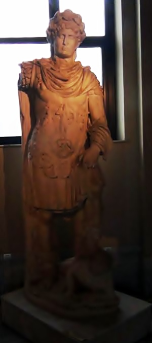
Emperor Hadrian 117-138
[Istanbul Arch. Museum]
This date of the construction is not certain, and relies on the inscription on a milestone found along the road. Bar-Kochba and his troops made their last stand against the might of the Roman forces in Betar, a fortified village which is located just 4 kilometers east along the road.
On the hill top are remains of a large underground complex, perhaps part of a hiding complex of the Bar-Kochba revolt.
-
Byzantine period (6th-7th century AD)
The archaeological survey also dated the ceramics to the Byzantine period.
-
Ottoman period – PEF survey and excavations (19th century AD)
The area around the site was examined in the Palestine Exploration Foundation (PEF) survey (1866-1877) by Wilson, Conder and Kitchener.
A section of their map is here, and the site appears as “Khirbet Jurish” with the altitude “2430” ft. It is surrounded by two valleys – Wady el Werd (today: Nahal Sansan) on the south and Wady el Ayun (today: Nahal Geres) on the north.
Part of Map Sheet 17 of Survey of Western Palestine,
by Conder and Kitchener, 1872-1877.
(Published 1880, reprinted by LifeintheHolyLand.com)
The ruin is south of the Roman road, with a connecting road marked as “ancient road”. Also notice the two Roman roads that intersect north east of the site.
The PEF report of 1875 (in Survey of Western Palestine, Volume 3, sheet XVIII p. 116) was merely:
“Foundations on a high hill-top, apparently an ancient site. An old road leads to the ruin”.
-
Modern period
The site is located beyond the fence of Tzur Hadassah western neighborhood. In order to pass through the security gate near the south east foothills, contact the security officer of the community.
Photos:
(a) General Views
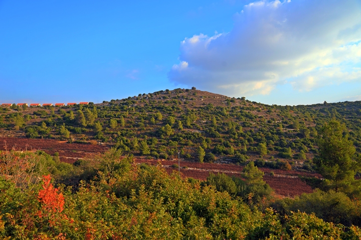
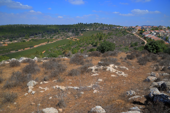
The ruins of Geres/Geresa are on the summit of Mt. Kitron, seen here from across the valley on the north side. The western edge of the community of Tzur Hadassah is seen to the left of the hill.
Click on the photos to view in higher resolution…
A drone captured this view above the northern foothills. The ruins are concentrated on the summit of the hill, covering an area of 40 dunams (4 hectares). The edge of the modern neighborhood of west Tzur Hadassah is seen on the left side. The street is named after the hill – Mt. Kitron.
Another aerial view was captured above the hill from its west side. The Roman road leading to the site is on the top left side, ascending on the north east foothill.
(b) Cave complex on western foothill
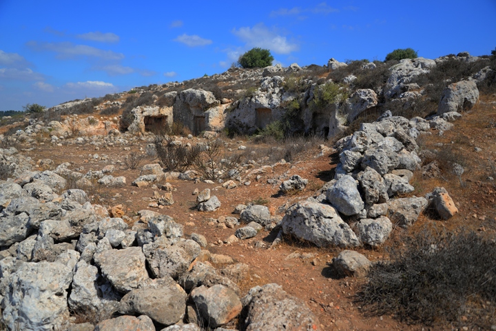
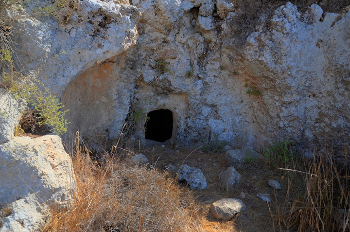
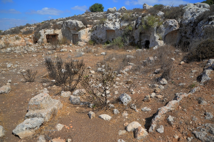
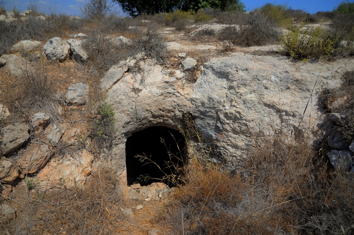
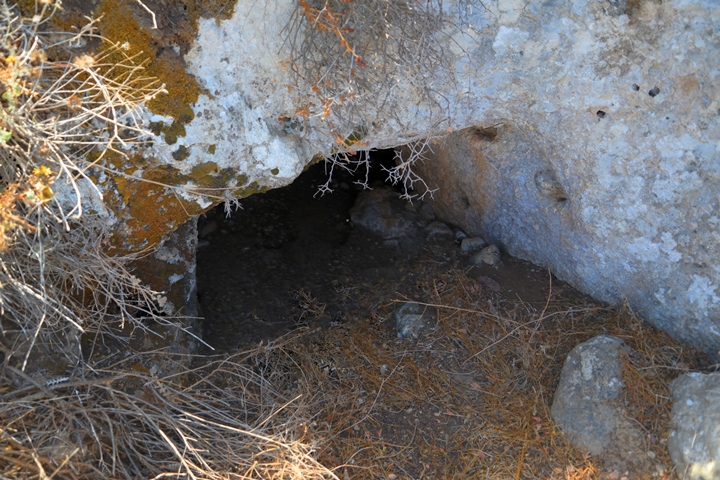
A number of rock hewn burial caves are visible on the west and south east foothills. The most impressive burial caves are arranged as a five-cave complex on the western foothill.
The foothill below the caves was cut open, creating a large open courtyard in front of the complex.
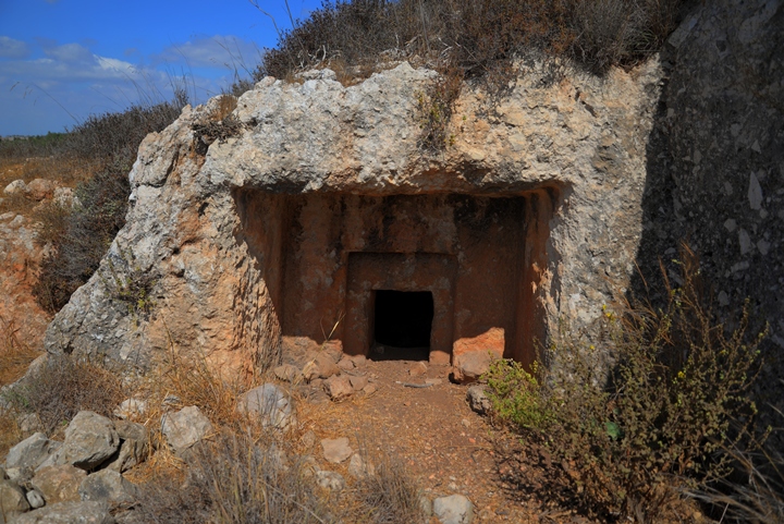
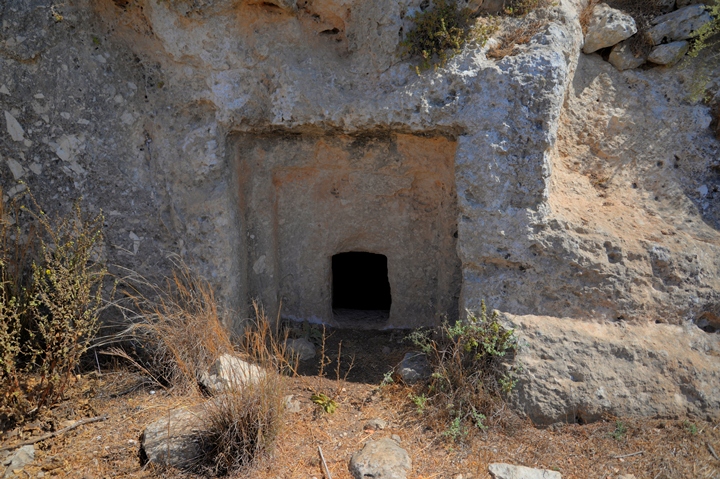
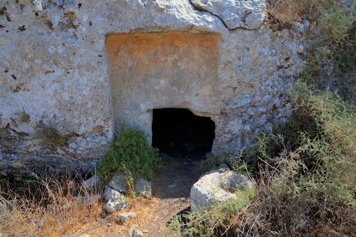
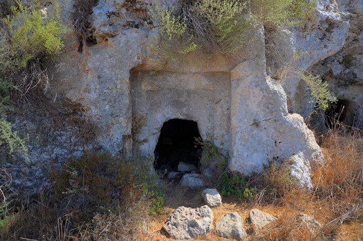
The following photos show the front of the caves from north to south. All burial caves have small rectangular entrances cut within a depression.
The front of the burial cave #1 is seen here, facing the south side. The caves are roughly 3m x 3m square, with a lower section in the center and shelves along the walls.
The entrances were sealed by a square closing stones that fit into their opening. One of these “cork” stones lies nearby.
Burial cave #2, as all other caves in this complex, faces west. This one has a lower section on its southern corner, which was used for collecting the bones.
Burial cave #3 is next. It connects via a small opening on its southern wall to cave #4.
Here is the entrance to the burial cave #4:
And finally, burial cave #5:
These burial caves were common in Israel during the Iron Age. Their style continued to be used in rural areas of Judea during the Hellenistic and Early Roman period.
A word of caution – when we first arrived to the cave, two snakes rushed by and into cave #1. So always be careful while exploring caves or walking through ruins.
(c) South
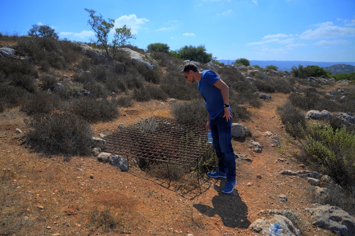
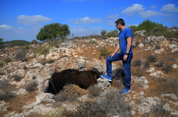
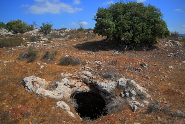
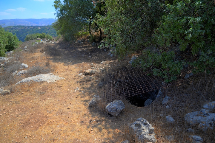
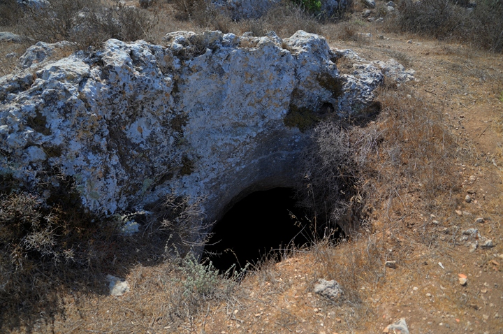
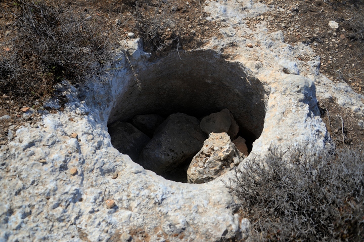
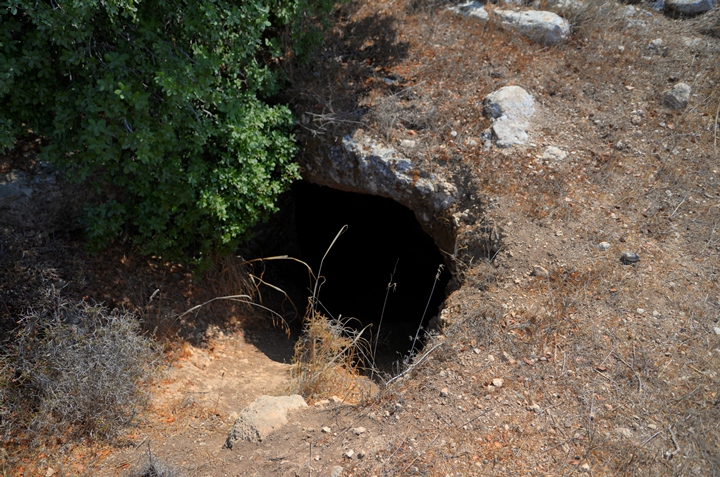
Just south of the burial complex is an opening of a cistern, one of many found in the site. The cisterns provided water supply during the dry seasons. Andrey peeks here into the depth of the covered cistern.
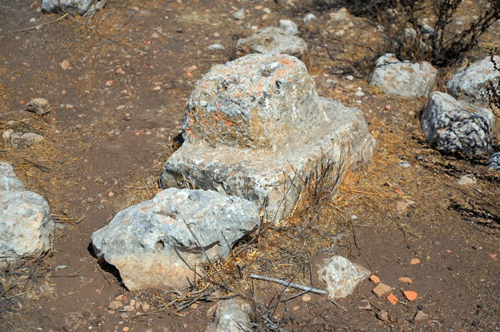
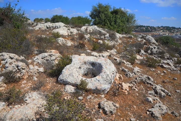
A large oil press crushing stone lies nearby, broken in half:
There are also many cisterns under the structures:
On the south side of the hill was a Roman road that connected Geres to the south. On the north bank of the valley is Mt. Sensen (alt. 735), where an ancient fortress was built on its summit.
There are also burial caves on the southern area:
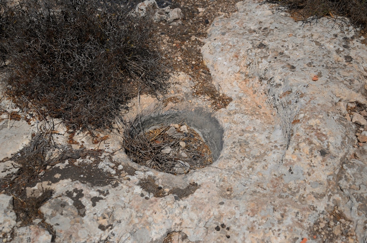
And agriculture installations…
The following photos are of other cisterns on the south side.
Also a hewn stone that once covered the top of a cistern:
(d) East
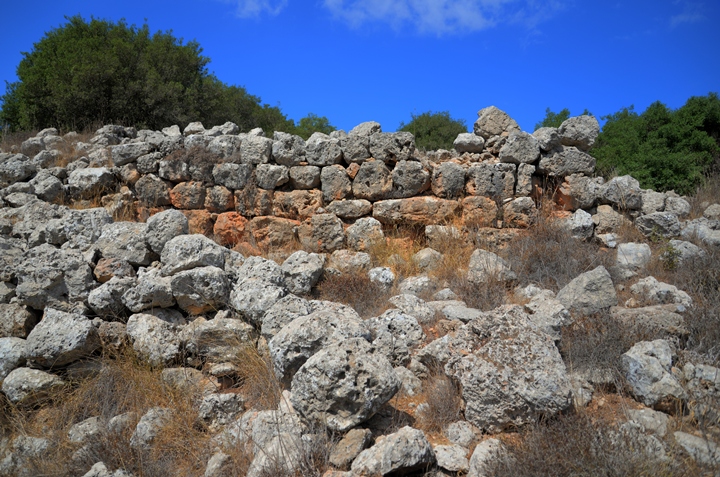
The most impressive structures are on the east side of the hill.
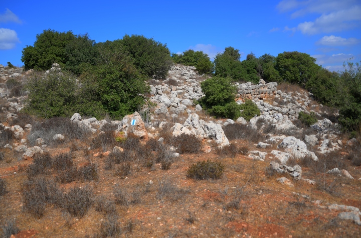
Remains of a structure, with walls reaching to the second story, is seen on the eastern side of the summit.
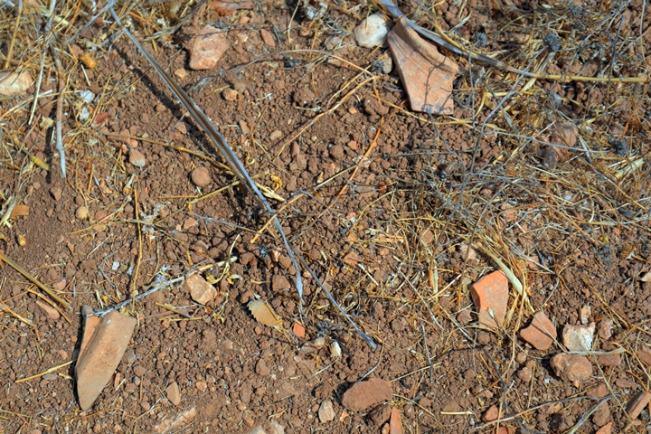
The ceramic fragments are all over…
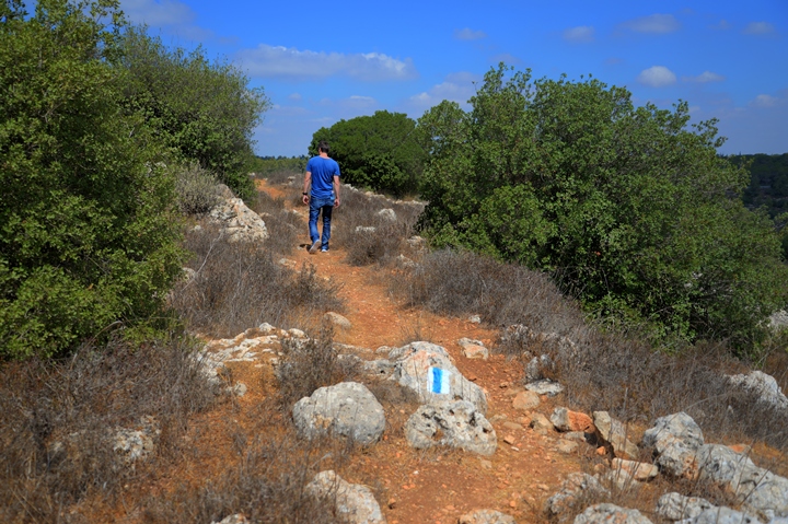
A trail leads around the site, passing just below the structures:
On the east side are additional cisterns. The archaeologists identified four Jewish ritual baths (Mikveh) dated to the second temple period. (Report by E. Klein).
In two of the cisterns the archaeologists also unearthed hiding complexes, probably added during the Bar Kochba revolt as common in many of the Judean Jewish villages during those tragic times.
The following photos show more of the visible structures on the east side of the hill:
(e) North side
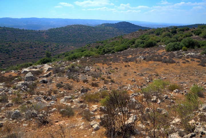
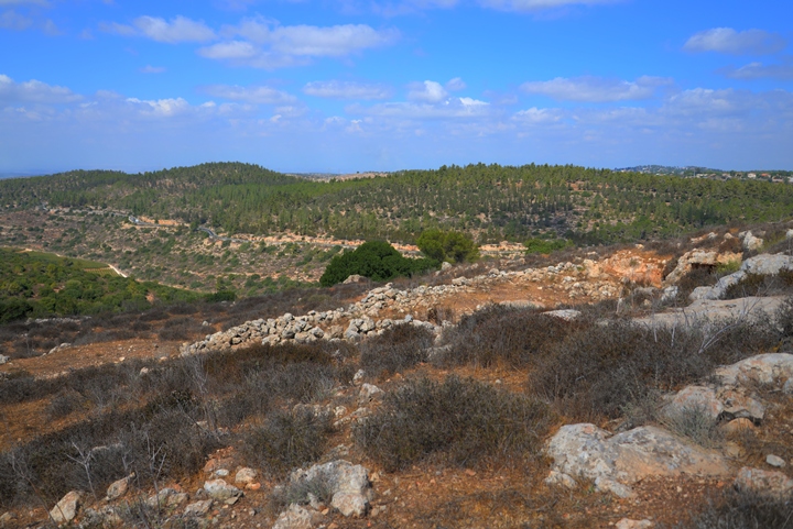
The north side overlooks the valley of Nahal Geres.
The modern Hwy #375, on the north bank of the valley, follows the same route of the “Caesar’s Way” Roman road.
On the north side are many cisterns. A sample is seen in the following photos.
(e) Roman road leading to the site
The village was located near the main Roman road (“Caesar’s way”) from the coast city of Ashkelon, via Beit-Guvrin, to Bethlehem and Jerusalem. It passed along the modern highway #375.
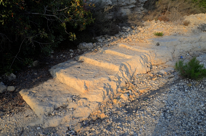
A section of the main Roman road, with carved steps, can be seen on the side of the highway, north to Geres. Other stepped sections can be seen 6km west.
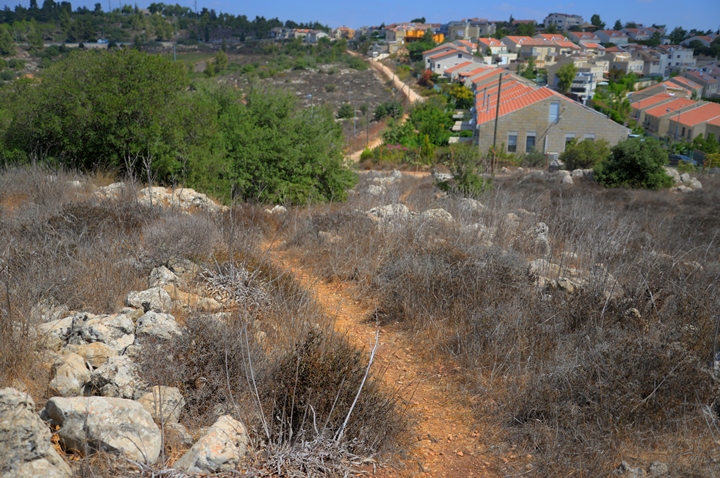
A local Roman road connected the main road to the village, ascending to the hill on its north east side. The modern houses of West Tzur Hadassah, seen here from the west side, were actually built along this road.
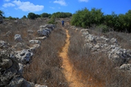
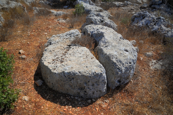
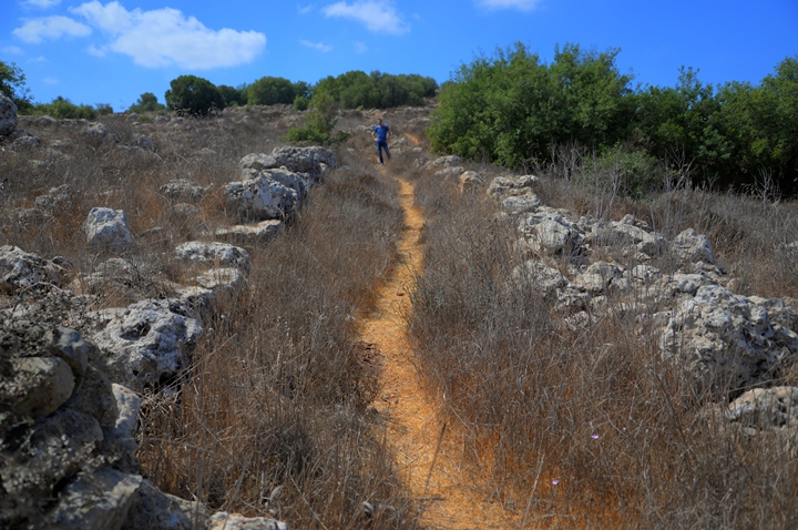
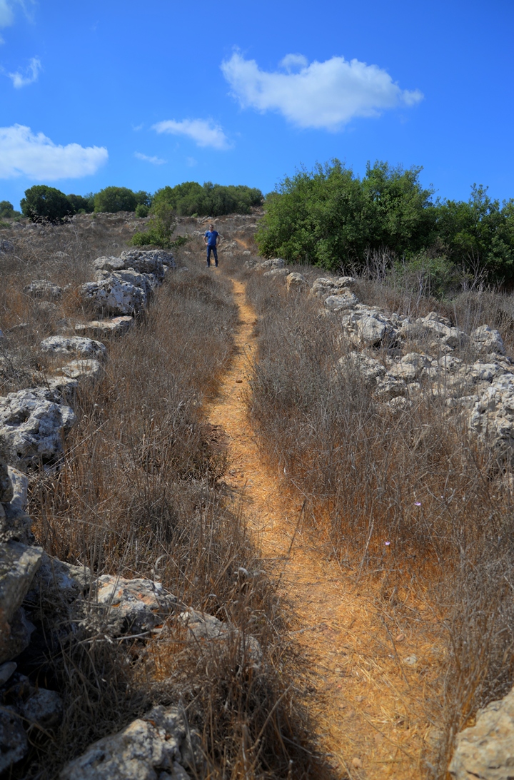
A section of the Roman road is visible on the foothills of Horvat Geres.
The road is flanked by a row of large field stones.
(e) Nature
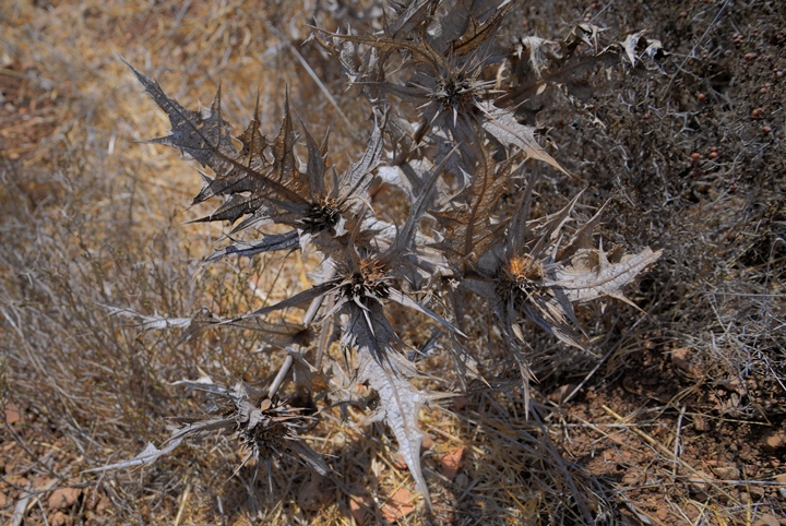
The photos in this web page were captured during late summer, when no wild flowers were present. So a dry thorn will substitute the lack of flowers, until a future visit during spring.
(m) Video
![]() Fly over the site with this YouTube video.
Fly over the site with this YouTube video.
Etymology – behind the name:
* Names of the site and vicinity:
- Geres – the Hebrew name of the site.
- Geresa – Was one of the cities conquered during the great revolt (Wars 4, 9 1): “Vespesian”…”at Jericho and Adida”…” also sent Lucius Annius to Gerasa…”. Preserved the Hebrew name Geres.
- Khirbet Jurish – Arabic: The ruin of Jurish (private name). Perhaps preserves the Hebrew name.
- Jerash – an Arabic village that was destroyed during the Independence war, 6km to the west of Geres.
- Har Kitron – Hebrew name of the hill of the ruin. Har (Mount), Kitron- the Coronilla flowering plant.
Links and references:
* External links:
- Identification of Gerasa in Judea. Zissu Boaz , 2007 In: Y. Eshel (ed.). Judea and Samaria Research Studies 16. Ariel. pp. 219-230 (Hebrew).
- Horbat Geres – Mikveh Hadashot Arkheologiyot V125 2013
* Biblewalks sites:
- Drone Aerial views – collection of Biblical sites from the air
- BibleWalks Youtube channel
- Horvat Hanut – nearby site + the Caesar’s way
BibleWalks.com – dreaming in the Bible Lands
Jumjum<<<—previous Judea site—<<<All Sites>>>—next Judea site–>>> Tel Yarmut
This page was last updated on Nov 10, 2017 (Added new photos)
Sponsored Links:
