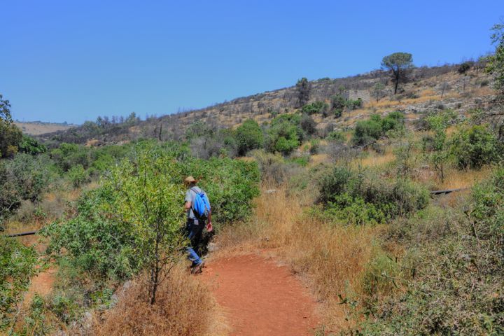
Ancient remains and springs are located in the Zanoah valley. They are named after Noah and the great flood.
Home > Sites > Judea > Shephela > Kh. Matta & Ein Tannur
Contents:
Overview
Location
History
Photos
* Ein Matta
* Palms
* Kh. Matta
* Ein Tanur
* Horse Riding
Etymology
Biblical
Links
Overview:
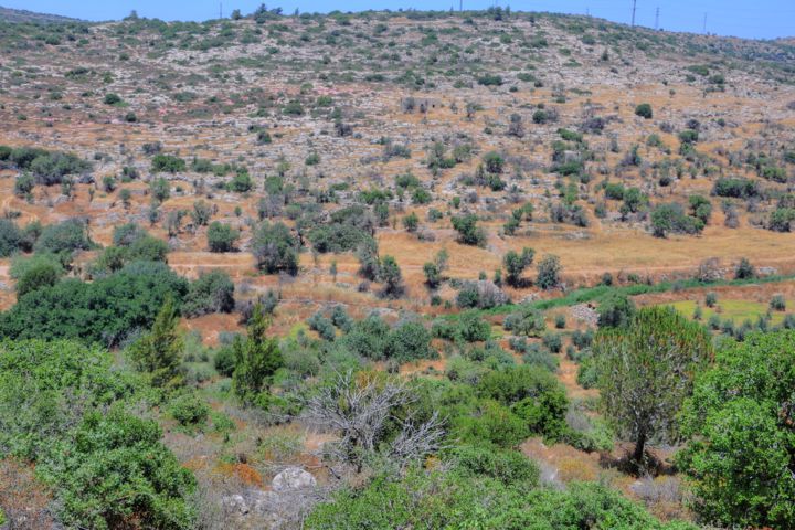
Ancient remains and springs are located in the Zanoah valley, in the low hills of Judea, southwest of Jerusalem.
These sites are named after Noah of the Great flood: Kh. Matta (once called Kh. Nuh – the ruins of Noah), Ein Matat (once called Ain Bin Nuh – the spring of the daughter of Noah), Ein Tannur (the spring of the oven, which is named after the source of the flood according to the Quran), and ‘Allar es Sifleh (the ruins where the tomb of the daughter of Noah).
The name of the valley – Zanoah – is a new modern Hebrew name, based on several verses in the Bible. Joshua 15, 33-34: “And in the valley… Zanoah”. It is probably why the name Za-Noah was selected, preserving the tradition of Noah and the Flood.
Location:
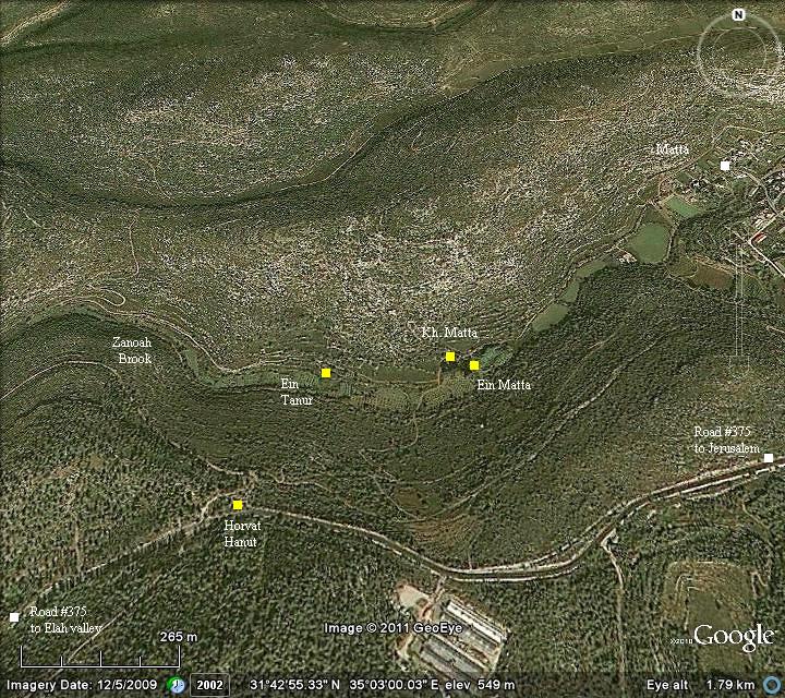
The site is located in the valley of Zanoah brook, between the the low hills west of Jerusalem – an area called Shephelah (the “low land”) of Judah. It is accessible by foot from the parking place of Horvat Hanut.
The following aerial view shows the points of interest.
History:
-
Crusader (12-13th century AD)
The ruined village near Ein Tut was called ‘Allar al-Sifla (lower ‘Allar). The 12th century Crusader village had about 5 residential and farm houses, and included a Church. It was managed by monks of the Cistercian order, who emphasized manual labor and self-sufficiency. The order was founded in 1098 in France by a Benedictine Abbot. They supported their community through agriculture activities, and this was a perfect place – a fertile valley with sources of water, and close to the Holy sites. The small Crusader monastery was probably called Salvatio.
-
Mameluke (15th-17th century)
After the Crusaders retreated from the Holy Land, the village was inhabited by Arabs. The village grew around the Crusaders houses and the center of the village relocated tn the foothills 1km north-west of the springs.
-
Ottoman period
The area around Matta was examined in the PEF survey (1866-1877) by Wilson, Conder and Kitchener. This area appears in the center of the section of this map of 1878.
Part of Map Sheet 17 of Survey of Western Palestine,
by Conder and Kitchener, 1872-1877.
(Published 1880, reprinted by LifeintheHolyLand.com)
Lieutenant Conder wrote a short report on his trip from Jerusalem to Adullam, that passed through these sites (p. 362; excerpt from his report of Jan 30, 1871):
“Starting from Jerusalem on the 30th January, in a pelting rain, we pass (my companion being Frere Lievin) by Bettir, Houbin, and Ella el Foka … then Khurbet Hanna, Khurbet Harik csh Shekhaleb, with the tomb of Noah’s daughter, Khurbet Jairieh, the Spring of Tannur (legend of the Deluge), Ellar es Sifla, or Bawaij (mediaeval ruin)”.
Another PEF report describes the ruins near Ein Tannur (Quartly Statement, Jan 1873, p23): “Among the ruins are three small churches with very thick though roughly built walls, occurring at El Kubua, Kh. Ain el Keniseh, and ‘Allar el Sifleh”. The latter Church is located at this site, once named ‘Allar.
-
Legend of the Deluge
While reading this report, we were curious about the “legend of the Deluge” and the tomb of the daughter of Noah. So we tried to find out more about the relationship of the places to Noah.
There are many folklore stories in the Holy Land, and many sites hold tradition to Biblical stories and figures. The area of the sites featured in this web page are related, according to Muslim tradition, to the story of the great flood (the Deluge) and Noah. Noah (“Nuh” in Arabic) is an important figure in the Muslim Quran, since he was one of the earliest prophets sent by God to the evil mankind.
The sites in the map above relate to Noah:
-
Ein Tannur – the “Spring of the Oven”. According to the Muslim book of Quran, the great flood was caused by rain and water gushing forth from springs. (54, 12-13): “So we opened the gates of the cloud with water pouring down, and we made water flow forth in the land in springs, so the water gathered together …”.
-
Ain Bint Nuh the Spring is named after the daughter of Noah. It is now called in Hebrew Ein Matta.
-
Khirbet Nuh – the ruins of the village, named after Noah. This ruined village is located near the spring named after the daughter of Noah, and was a part of ‘Allar es Sifleh.
-
Bir Al Malak – the well of the angel, named after Noah who saved mankind.
-
‘Allar es Sifleh – Arabic – the “lower” ‘Allar. Ruins of the village, where according to the tradition was the tomb of the daughter of Noah. In Arabic el Sifleh means “lower”, since an upper ‘Allar existed until the 19th C (“‘Allar el Fawqa”).
-
‘Allar el Busl – Arabic – the ‘Allar who grew onion (Arabic: Busl, Hebrew: Bazal). The other name of ‘Allar Upper.
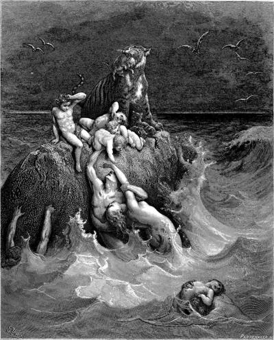
“The story of the Deluge” – by Gustav Dore (French artist, 1832-1883)
Why have these places named after Noah? tradition…
-
Modern period
In 1948 the residents of the villages of ‘Allar (lower and upper) moved to the Jordanian area, following the establishment of Israel. The Moshav (cooperative agriculture community) of Matt’a was established in 1950, 600m north-east of the spring of Matta. Its first residents were Jews from Yemen. It was named for the Hebrew word of grove, as in the Bible – translated in KJV to ‘plant’ (Ezekiel 34, 29): “And I will raise up for them a plant of renown, and they shall be no more consumed with hunger in the land, neither bear the shame of the heathen any more”.
The area of Khirbet Matta and Ein-Tannur is now part of the “United States Independence Park”, a large (30000 Dunams = 3000 Hectares) nature park in the south-west hills of Judea. The park was established by the KKL in 1976 to commemorate the 200 years of US Independence. It is open to the public without charge, and has great places to hike – such as the sites featured in this web page.
Photos:
(a) Ein Matta (Ain Bint Nuh):
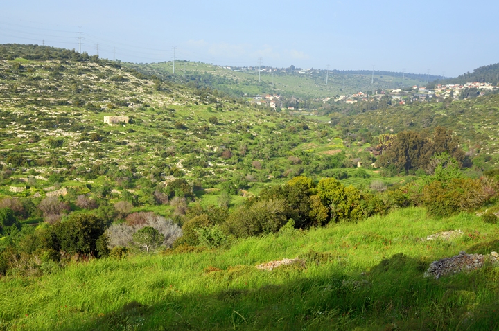
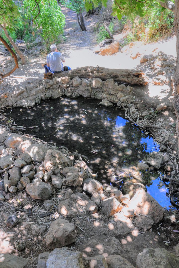
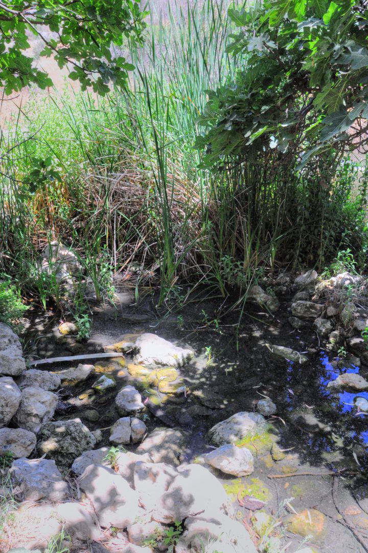
Ein Matt’a – the spring of the grove – is located in the valley of Zanoah (named “Wady er Rummaneh” in the PEF map). The ruins of the ancient structures are spread along the valley and on the northern foothills.
This photo was captured at the end of winter 2019.
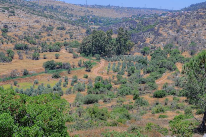
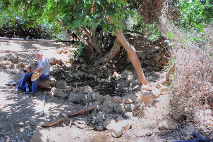
However, at the end of the summer, the valley is drier, as seen in the next photo (captured October 2011).
The “spring of the grove” is beneath a group of Eucalyptus trees.
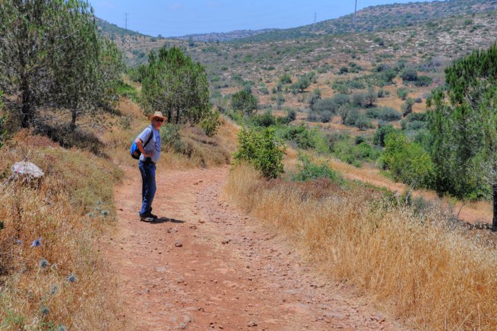
A path leads from Horvat Hanut to the valley.
On the foothills on both sides of the valley are remains of the Arab village of lower ‘Allar (‘Allar es Sifleh), which existed here until 1948.
The spring is now called (in Hebrew) Ein Matta – the spring of the grove or orchid, and is named after the nearby Moshav Matta. It was once called Ain Bint-Nuh, named after the daughter of Noah.
The area around the spring is a great place to open the bag with the sandwiches, and enjoy the shade. The pond is too small to dip into it, but has a refreshing look.
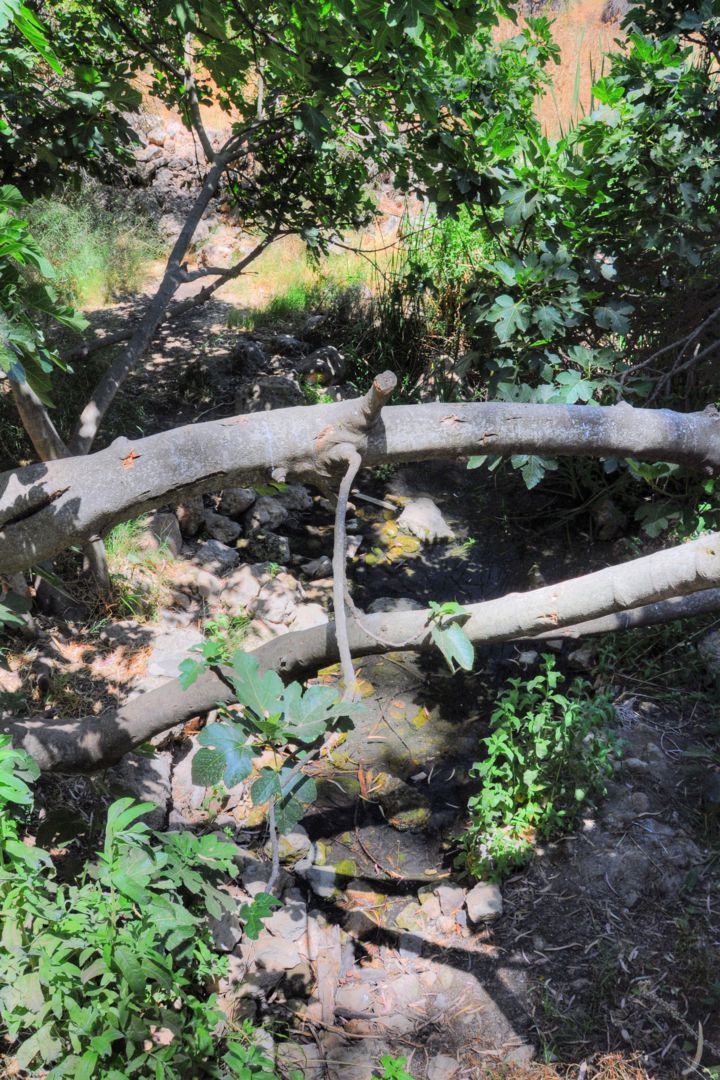
Around the spring are large fig trees, who enjoy the year round supply of water.
Another corner of the natural pond…
(b) Palm tree orchid:
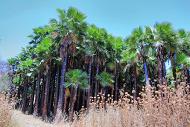
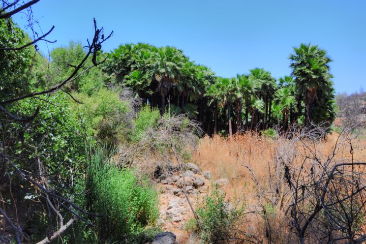
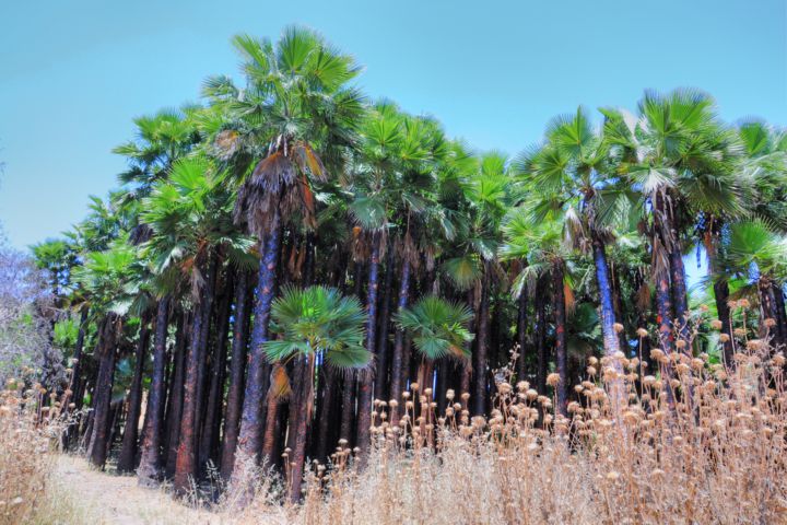
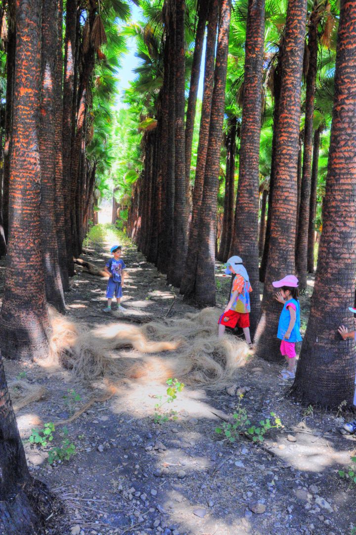
Near the spring, on its east side, is an impressive orchid of a Washington palm trees.
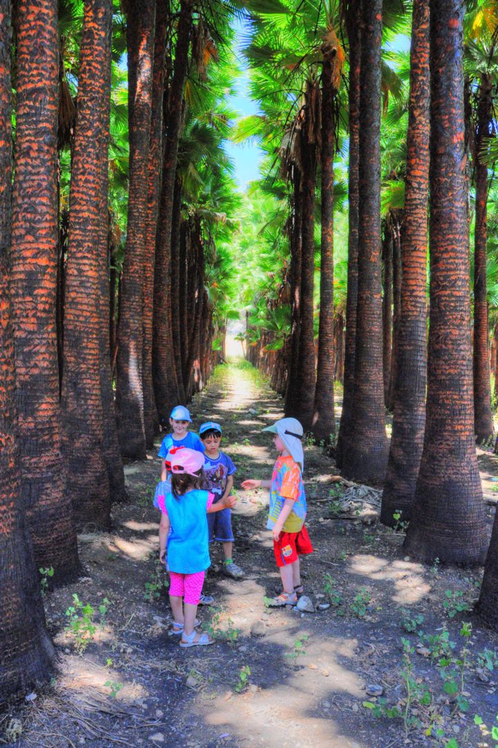
It is very densely planted, but when you enter into its shade it seems you enter into an enchanted forest.
The tree trunks are black and red, perhaps the result of a fire that burnt all the dry lower leaves. The top of the trees, very high, are bright green in a total juxtaposition to the lower part.
The kids immediately found this forest an interesting hide & seek place to play. Their parents were also admiring this cool, magical forest, and tried to guess why it was planted like this and when.
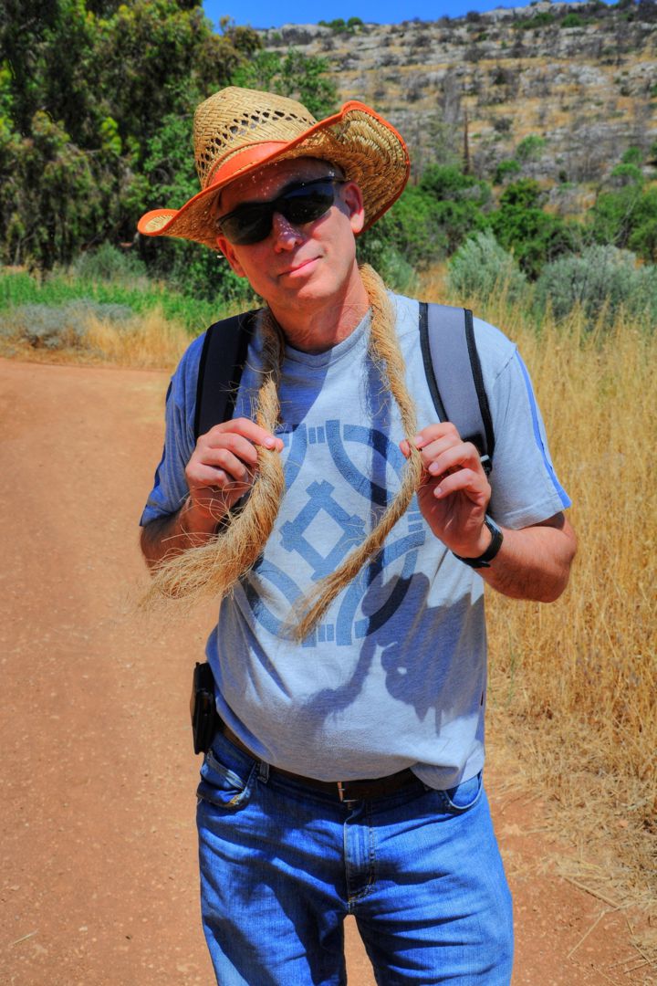
Layers of Raffia fibers are extracted from the leaves, and a collection of such fibers is seen between the trees. They can be woven together, creating ropes.
Tuvia demonstrates how the fibers can be woven together into a rope:
(c) Kh. Matta (Nuh):
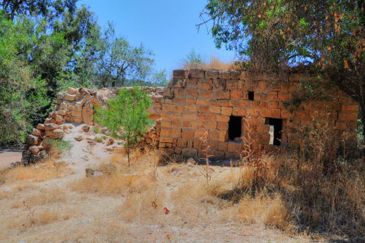
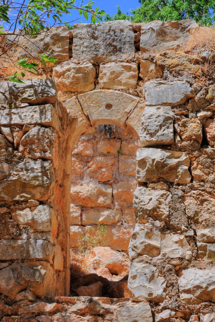
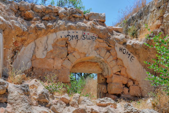
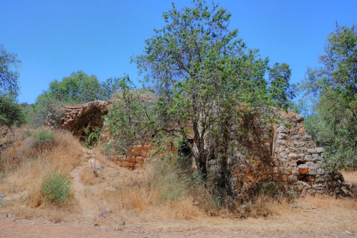
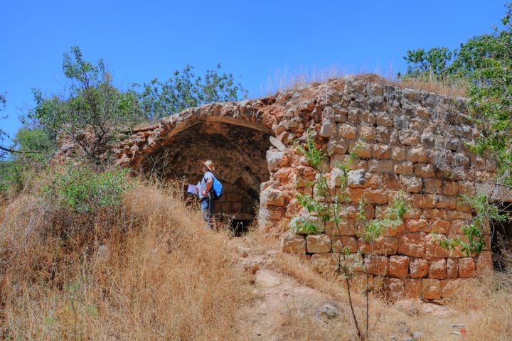
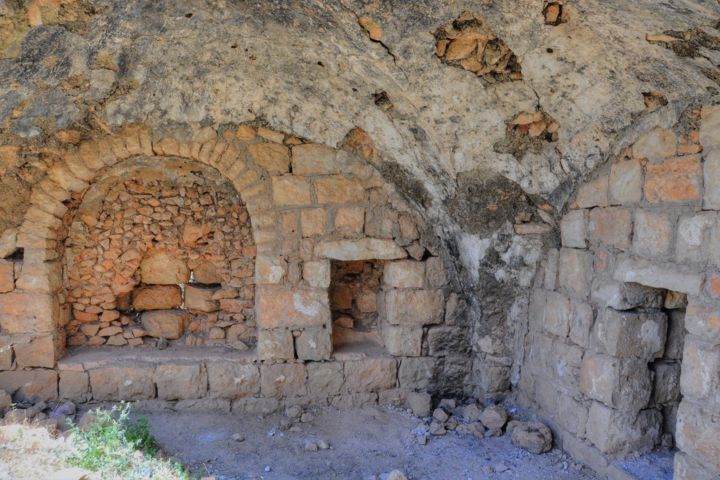
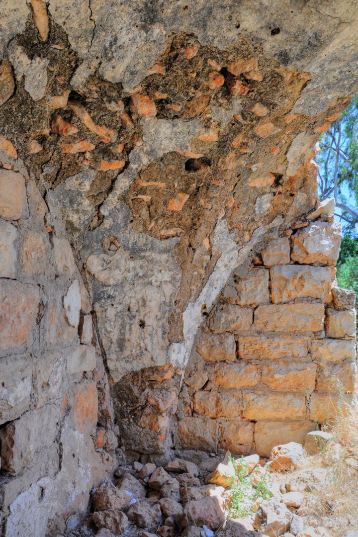
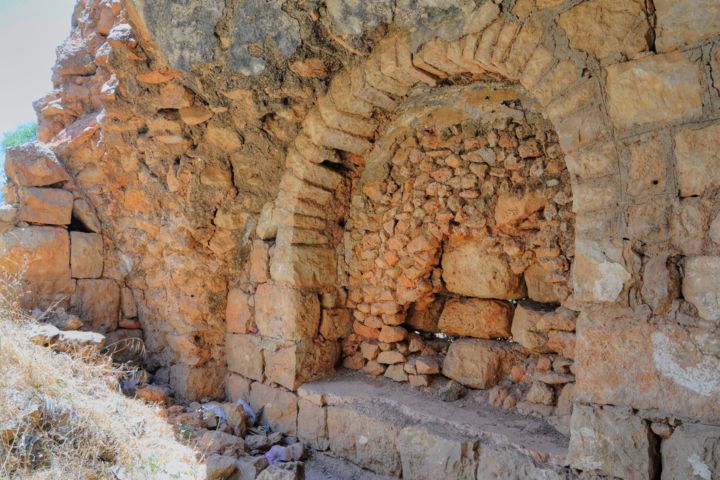
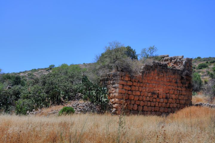
Near the spring of Kh. Matta ( Ain Bint Nuh) are the ruins of one of the houses, called Kh. Matta or Kh. Nuh (named after Noah).
This seems to be one of the Crusaders structures, which was then reused during the Mameluke and Ottoman periods.
The blessing “Home Sweet Home” seems to be a little out of line…
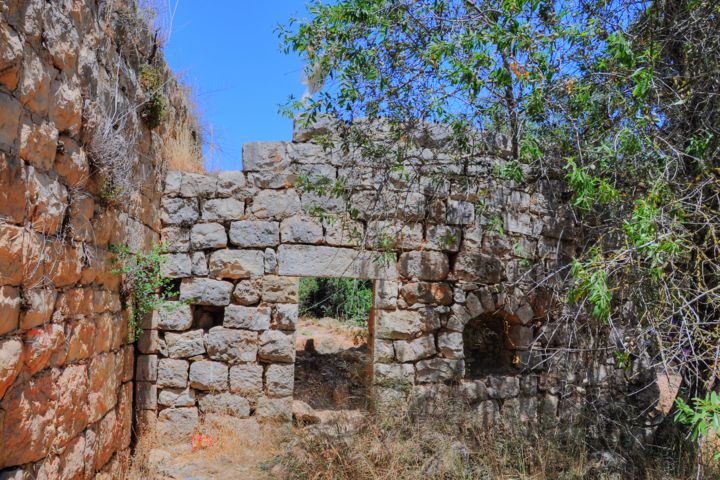
Other exterior views of the house are seen in the photos below:
More photos of the interior:
(d) Ein Tanur:
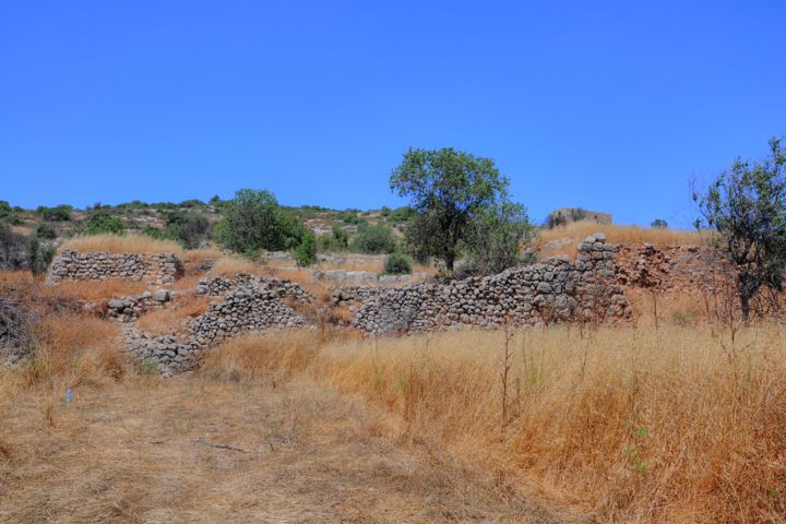
The ruins of ‘Allar es-Sifleh (lower ‘Allar) are spread along the valley. Some of the ruins are from the Crusader period, others are from later periods (Mameluke and Ottoman) until 1948 when the village was deserted.
The large structure with an impressive wall are the remains of the Crusader church. It is located 250m to the west of Ein Matta.
A number of ruined houses were left from the Crusader village.
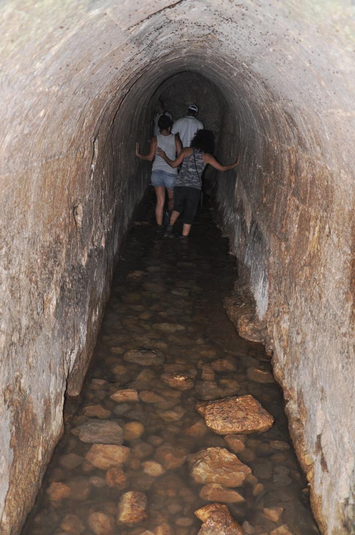
Ein-Tannur flows out of a tunnel, on the south (lower) part of the ruined village.
The name of the spring of Ein Tannur (Arabic- “the spring of the oven”) is based on the Muslim Quran, which holds that the Great Flood of Noah burst forth from underground out of a “Tannur”, or oven.
The underground tunnel was built in order to dig closer to the source of the spring. You can walk towards the edge of the tunnel – into the “oven”.
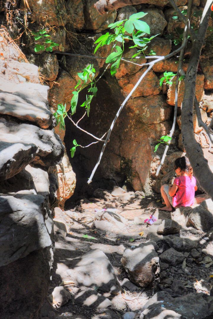
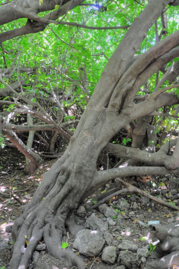
Some large twisted fig and lemon trees grow out wildly from the outlet of the spring. They provide a cool shaded place to rest before turning back to the parking lot on the top of the hill.
(e) Horse Riding:
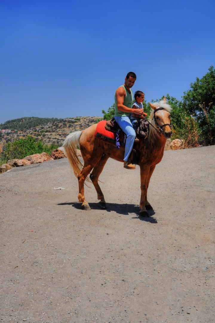
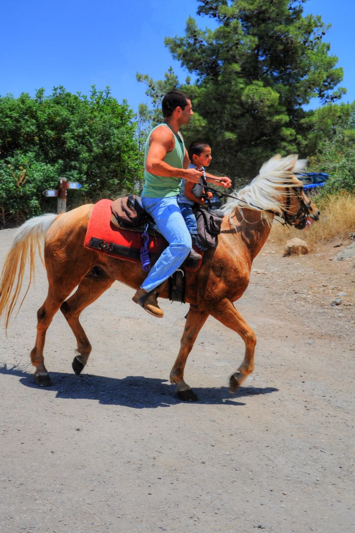
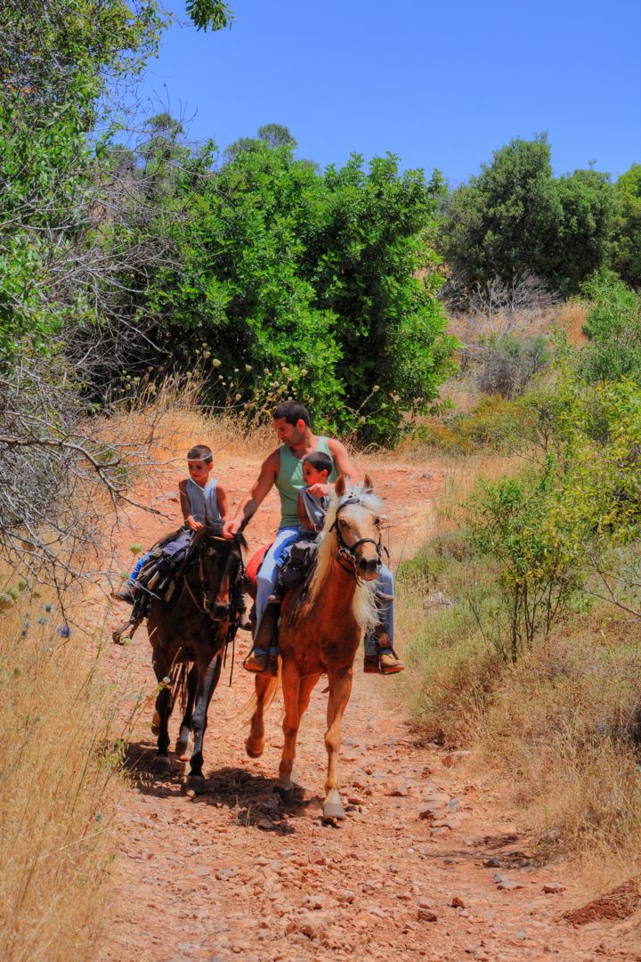
On the way to Kh. Matta, this father and his kids passed by, horseback riding. This is a great way to explore the countryside.
There are many horse ranches in Israel, and you can rent horses thru one of the local operators.
* Webmaster Rotem: I myself am active in horse riding (Dressage – competitive horse training), and so I truly recommend this sport.
What a great way to travel through the sites…
Etymology:
* On the Springs:
- Ein, Ain – spring (Hebrew, Arabic).
- Tannur – Hebrew, Arabic: oven.
- Ein-Tannur – According to the Muslim book of Quran, the great flood was caused by rain and water gushing forth from springs. (54, 12-13): “So we opened the gates of the cloud with water pouring down, and we made water flow forth in the land in springs, so the water gathered together …”.
- el-Sifleh – Arabic – the “lower”
Biblical:
Source of the name of Zanoah valley:
- Judea region (Joshua 15, 33-34): “And in the valley, Eshtaol, and Zoreah, and Ashnah, And Zanoah, and Engannim, Tappuah, and Enam,… “
- The residents of Zanoah helped to build the 2nd temple (Nehemiah 3, 13):”The valley gate repaired Hanun, and the inhabitants of Zanoah; they built it, and set up the doors thereof, the locks thereof, and the bars thereof, and a thousand cubits on the wall unto the dung gate”.
Links:
* Archaeology:
* Other
- Noah in the Islam (pdf) Explains the word Ein Tannur
- US Independence park – KKL (Hebrew) ; Map of the park (Hebrew)
* Internal
- Horvat Hanut – nearby site
BibleWalks.com – All the Holy Roads lead to Jerusalem
Horvat Hanut <<<—previous site–<<< All Sites >>>—next Judea site—>>> Elah Valley
This page was last updated on Oct 24, 2011
Sponsored links:
