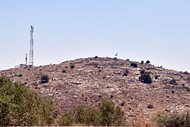
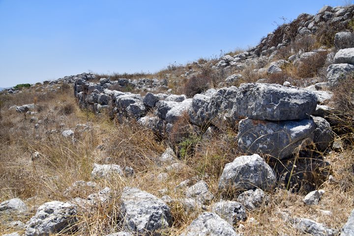
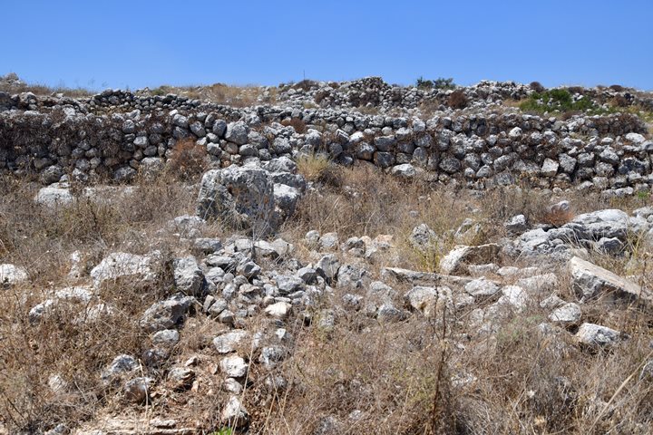
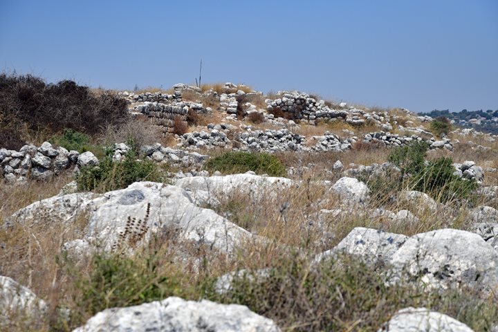
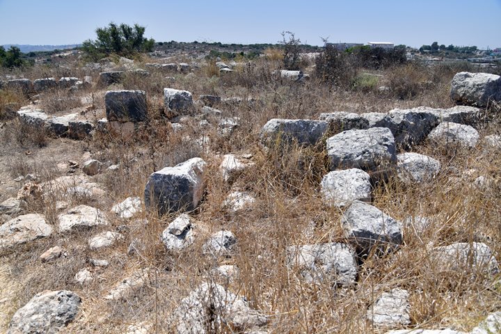
An Iron Age and Roman/Byzantine ruin, on the top of a commanding hill, overlooking the Cross-Samaria road.
Home > Sites > Samaria > Horvat Hemed (Khirbet el Fakhakhir)
Contents:
Overview
Aerial Map
History
Photos
* Views
* Plan
* Walls
* Church
* Installations
* Cisterns
* Tomb 1
* Tomb 2
Etymology
Links
Overview:
Horvat Hemed (Hebrew: “Grace”), also known as Khirbet el-Fakhakhir (Arabic: “Ruin of the potsherds”), is an archaeological site in Samaria near the community of Brukhin. It is situated on the top of a commanding hill, south of Cross-Samaria road. It was settled from the Iron Age to the Byzantine and Early Islam periods.
Map / Aerial View:
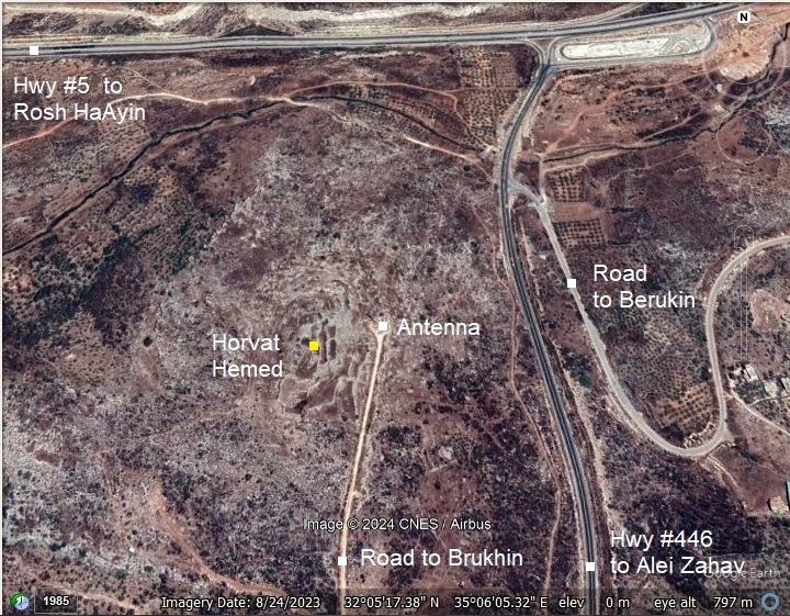
An aerial map is shown here, indicating the major points of interest around the site. The site is located on a high hill above the south side of Cross-Samaria highway (Hwy #5) and above the west side of highway #446 to Alei Zahav and Paduel.
The ancient site is situated on a hill on the northern edge of a ridge. A dirt road reaches the site from the community of Brukhin.
History:
- Iron Age I and II
The archaeological survey dated the earliest settlement activity to the Iron Age. The settlement started as a small village in the Iron Age II. Quarries and agricultural installations of this period are found on the hillsides.
- Persian and Hellenistic period
Based on ceramic dating, settlement on the site continued during the Persian and Hellenistic periods. To the north and east of the site are tombs mainly from the second temple period (516 BC – 70 AD). They tombs include burial caves, trough graves and burial niches hewn in the rock.
- Roman/Byzantine period
The village flourished during the Roman/Byzantine period.
On its foothills are tombs dated to the Byzantine period. Water supply was by cisterns that were cut into the rock.
On the south side are remains of a Byzantine church, with fallen columns and a Polychrome mosaic floor. The Church was built in the 5th century AD, and served the community during the 5th-6th centuries. During the Early Islam period a structure was built in part of the church, making use of its mosaic floor.
- Ottoman Period – (1516-1918 A.D.)
Conder and Kitchener of the Palestine Exploration Fund (PEF) surveyed the area during the Survey of Western Palestine (SWP) in 1874-75. This is a section of their map, focusing on the area. The site appears as “Khirbet Fakhakhir”. The major road is marked along Wadi Auwad on its north – where a modern highway was built (highway #5). An ancient road is marked on the south side of the hill.
Many ruins are also shown in the vicinity: Kh. Kurkush, Kh. er Ras, Kh. ed Daweir and Kh. el Burij. This concentration of settlements indicates a heavy level of settlement activity during the Roman/Byzantine periods.
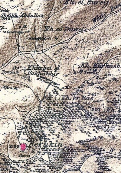
Part of map sheets 14 of Survey of Western Palestine,
by Conder and Kitchener, 1872-1877. (Published 1880, reprinted by LifeintheHolyLand.com)
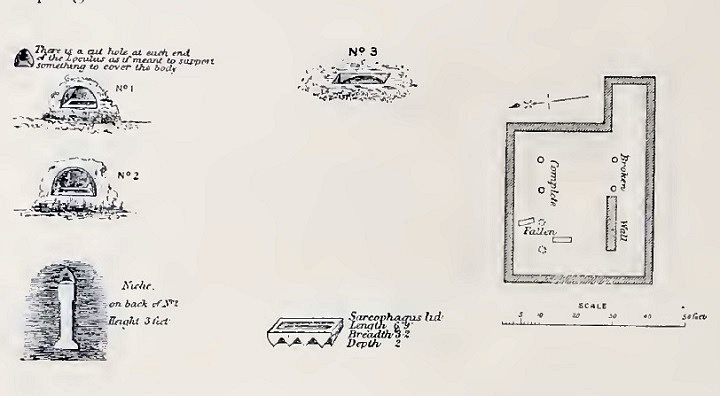
The surveyors documented their review of the site (Volume II, Sheet XIV, pp. 333-334):
“Khirbet el Fakhakhir —Walls, cisterns, tombs, and a building with pillars.
Three tombs were planned. The first is a tomb with an arcosolium cut in the cliff about 5 feet 7 inches by 6 feet 6 inches. It has beneath it a loculus 5 feet 3 inches by 1 foot 8 inches. On the left hand is a recess for a lamp, and on the right, at the other end of the loculus, a similar recess.
No. 2 is like the former, but the loculus measures 2 feet 4 inches by 6 feet 4 inches. A recess for a lamp is cut at the back, and beneath it a sort of little pilaster by way of ornament, 3 feet high.
No. 3 is the ordinary tomb called ‘rock sunk,’ about 6 feet length of the shaft. A sarcophagus with two squares and a circle in relief 7 feet 6 inches long, lies near, and a sarcophagus lid, 6 feet 9 inches by 3 feet 2 inches, with a pointed ridge to the roof 2 feet high. Part of another ornamented sarcophagus also exists.
The building is a rectangle, 40 feet north and south by 45 feet east and west, with a smaller rectangle on the south-east corner, 13 feet either way. Two rows of pillars, 7 feet 6 inches high, 1 foot 6 inches diameter, form three aisles east and west. The bearing is 95° 30′. It would appear to be a small chapel. In the wall of this building a stone was measured, 2 feet 6 inches long, i foot 9 inches broad and high. It had a draft 3 inches broad, 1 inch deep, with the boss of the stone dressed roughly.
This ruin seems to be another of the many small Christian establishments in this part, dating from before the seventh century, as far as can be judged by comparison. The ‘rock-sunk tomb,’ it will be observed, here again is connected with a Christian site.Visited 5th June, 1873″.
- Roads:
The site commands the view of several important roads from the coastal plain to central Samaria, including:
- Cross-Samaria road (modern west-east highways #5 and #505).
- South and North routes to places in Central Samaria
David Dorsey (“The roads and Highways of Ancient Israel”) marked the main route near the site (#516 , p.169) as “S7”. This road connected Antipatris/Aphek , via Rafat, along Wadi Rabah (north of modern Rosh HaAyin) to Kharis (north of modern Ariel), joining west-east route “S6” that arrives to the main road Shechem-Jerusalem (“N1”).
- British Mandate
A 1940s British map shows the area around the site, that is named “Kh. Hamad”.
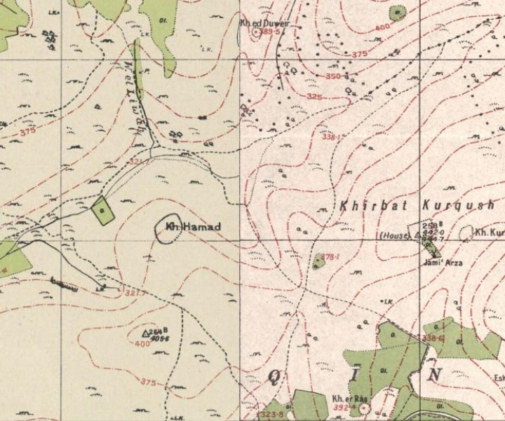
British survey map 1942-1948 – https://palopenmaps.org topo maps
License: public domain under the UK Copyright, Designs and Patent Act 1998
- Modern period
The site was surveyed several times by S. Dar (1982) and Guerin (1984).
A survey of the area, and an excavation of the church, were conducted in 1997, headed by Ayal Aronshtam and David ‘Amar. They dated the ruin to the following periods: Iron Age I, Iron Age II, Hellenistic, Roman, Byzantine (Major period), and Early Islam. They reported on structures, cisterns, winepress, oil presses and burial caves. The team focused on excavating the Byzantine church on the south side of the site.
Photos:
(a) Commanding views
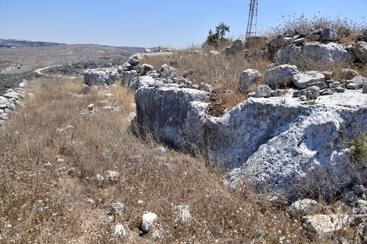
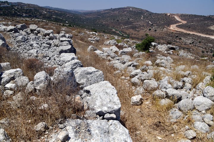
The site is situated on a hill (alt. 390m) on the northern edge of a ridge. A tall antenna stands on the north east side of Horvat Hemed.
The ancient settlement covers an area of 15 dunam.
Click on the photos to view in higher resolution…
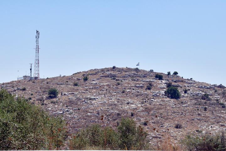
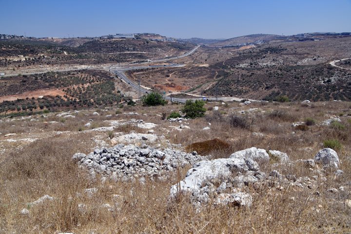
Horvat Hemed has a commanding view of the road that passes along the valley on the north (it is 80m lower) and the road on the east (it is 30m lower).
On its hillsides are ancient agriculture installations (winepresses, oil presses), terraces, cisterns, agriculture watch towers, stone piles, burial caves and tombs.
(b) Plan of the site
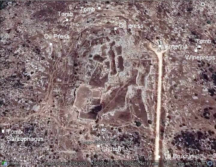
A detailed view on the site is shown in this aerial view.
- The northwest side of Horvat Hemed is notable for its well-constructed buildings, made of ashlars—large, squared stones that were commonly used in ancient construction.
- The west side features remains of structures with cisterns at their side. Cisterns were essential in ancient times, particularly in the hilly and semi-arid regions like Samaria, where natural water sources were scarce or seasonal.
- On the south side of Horvat Hemed, seen here on the bottom of the walled area, lies a large building complex. It incorporates ancient walls, indicating that this structure was either built in stages or re-used over time, likely from different historical periods. The building plan includes a central courtyard flanked by large halls, some of which feature barrel-vaulted arches, suggesting these spaces were used for storage or other functional purposes.
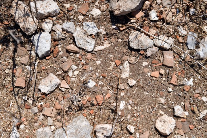
The surface of the site is covered by thousands of potsherds. This gave the site a common name of Khirbet el-Fakhakhir, meaning : “Ruin of the potsherds”.
According to the surveys, the ceramics were dated to the Iron Age I, Iron Age II, Hellenistic, Roman, Byzantine (Major period), and Early Islam. Indeed, most of the potsherds seen here are of the Byzantine period.
We visited the site on August 2024, covering a fraction of the points of interest on the hill and around it. This indeed is a “Hemed” (grace) place to visit and we intend to return again soon.
(c) Walls
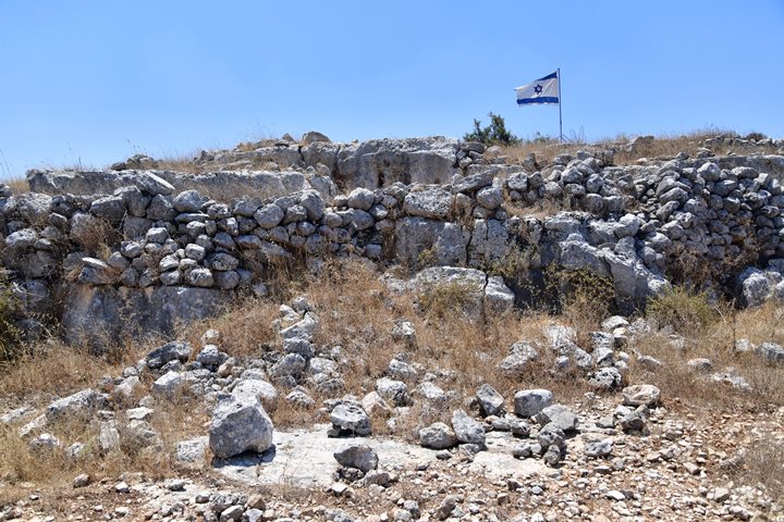
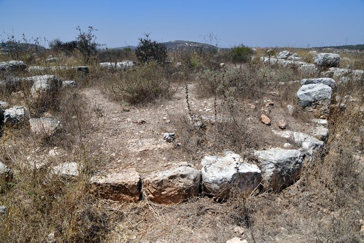
The site is protected by walls on all sides of the top area. This is a view of the north side where the wall was laid above a quarried section of the hill.
Another section of the wall on the north western side.
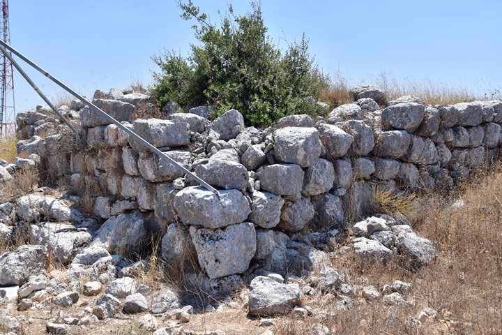
Below – A corner of the wall on the north side. The steel pipes were used to secure the Israeli flag.
On the north east side are similar structures – terraces, quarried sections of the rock, and walls built above.
More walls surround the eastern periphery.
Walls stretch along the eastern side:
The south side is also protected by walls. Behind are sections of the arched halls that are part of the large rectangular complex.
At the time of our visit (August 2024) the dry weeds covered the site, limiting our ability to check the area behind the walls.
(d) Church
Remains of a church are found on the south side of the hill, 20m outside the walled area. The church measures 19.9m by 11.5m, and has a basilica plan including: a narthex on the west side (11.5m x 3.5m), a nave hall in the center (10.3m x 4.7m), 2 side aisles (12.9m x 3.4m) separated by 4 columns on each side, and paved with mosaic floors.
The walls are 0.7m wide. Roof tiles found on the site imply a roof supported by wooden frame.
The apse, seen below, is oriented to the east, and is 3.2m deep and 4.7m wide. The stones are rough on the outside but smooth on the inner side. In the center is an altar (4.7m x 2.0m, 0.45 height).
On its left (south side) is the Diaconicon room – a room where things used during the church service are stored.
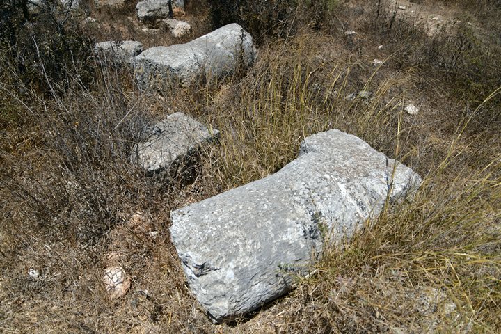
Below – a closer view of two of the fallen columns. Both are now broken, but their original height was 2.3m. The columns stood on pedestals (0.57m x 0.57m, 0.2m high, 0.5m in diameter).
The church was built on top of remains of an old oil press.
During the Early Islam period the west side of the Church was damaged with new construction.
The Church served the community since its construction in the 5th century AD, and continued during the 6th century. During the Early Islam period, following its destruction, a structure was built in part of the church, making use of its mosaic floor.
(e) Installations
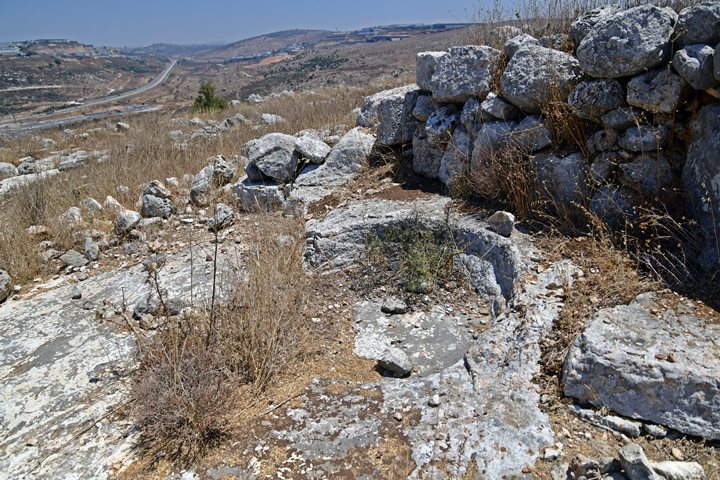
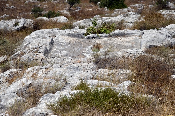
On and around the site are agriculture installations for producing wine and olive oil. Here are examples of such installations.
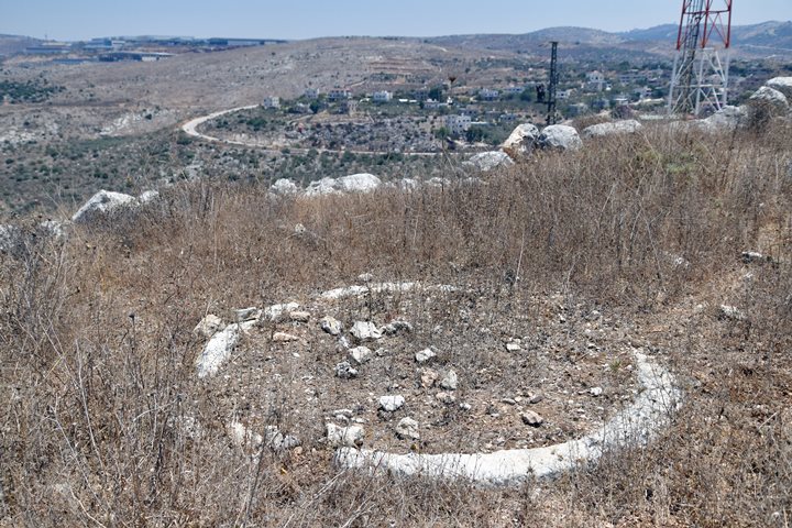
On the north side of the walled area is a crushing base of an oil press.
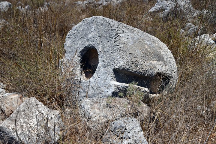
A weight of an oil press installation:
Part of a winepress installation:
A treading floor of a winepress:
(f) Cisterns
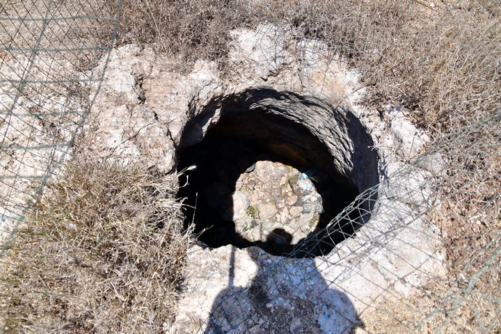
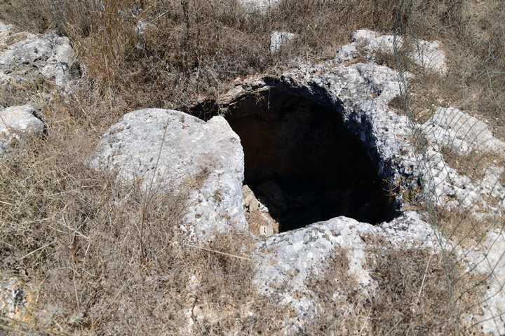
Water supply to the site was mainly by cisterns that collected run off rain water and stored the waters in underground reservoirs.
Here are 2 examples:
(g) Tomb 1
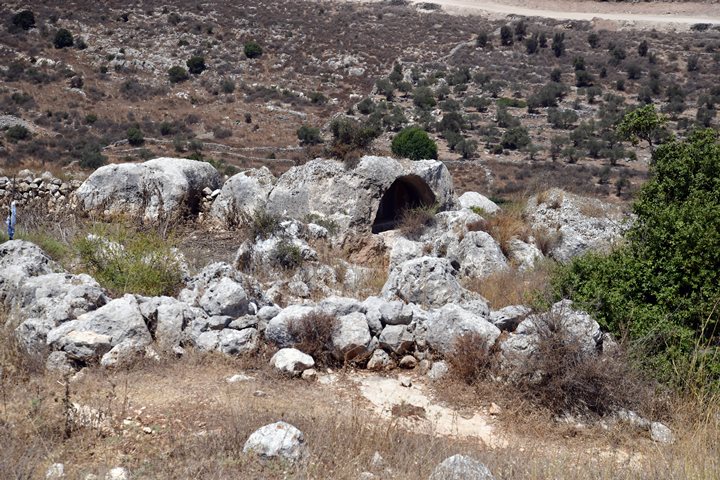
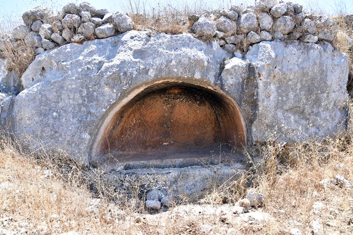
A remarkable tomb was carved out in the rock on the northern foothill.
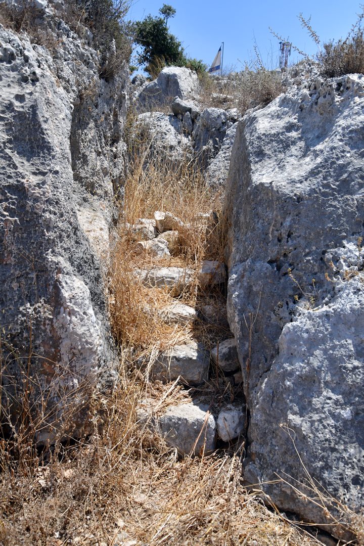
Steps carved between the rock lead down to the area of the tomb.
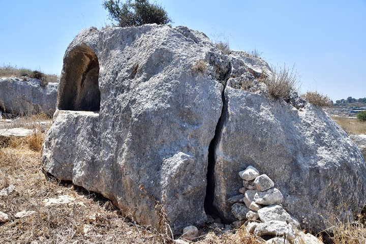
The tomb was cut into the rock.
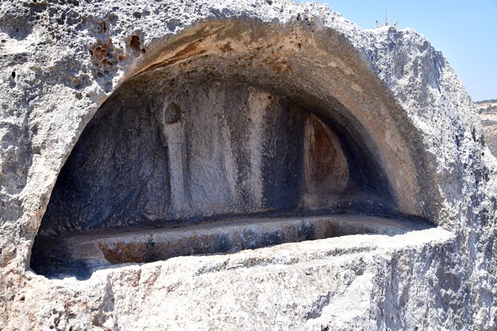
The PEF survey described this tomb:
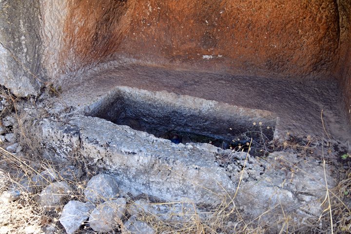
“The first is a tomb with an arcosolium cut in the cliff about 5 feet 7 inches by 6 feet 6 inches. It has beneath it a loculus 5 feet 3 inches by 1 foot 8 inches. On the left hand is a recess for a lamp, and on the right, at the other end of the loculus, a similar recess”.
Explanation: An arcosolium is an arched recess used as a place of entombment. The word is from Latin arcus, “arch”, and solium, “throne”. a trough (the cubiculum, “chamber”) in which to place the body. Arcosolia is the plural form. Early arcosolia were carved out of the living rock. A flat stone slab would then cover the chamber containing the body, thus sealing it. Loculus (Latin, “little place”) is an architectural compartment or niche that houses a body.
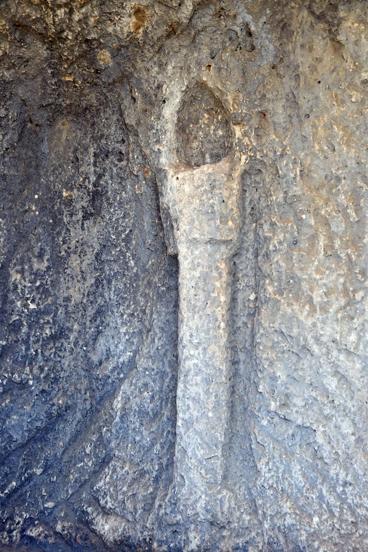
On the wall behind the loculus is an engraved torch. On the top of it is a recess niche where a lamp could be lit.
(h) Tomb 2
Another similar tomb with an arched roof, also cut into the rock, is also located on the north side of the ruin, east of tomb 1.
The PEF surveyors wrote about it:
“No. 2 is like the former, but the loculus measures 2 feet 4 inches by 6 feet 4 inches. A recess for a lamp is cut at the back, and beneath it a sort of little pilaster by way of ornament, 3 feet high”.
A closer view of the rock sunk tomb:
Etymology – behind the name:
* Names of the site:
- Brukhin – a new community, established in 1999
- Horvat Hemed – Hebrew: “Ruin of Grace”. The modern name of the site.
- Khirbet Hamad – Arabic. The name on British mandate map. Hamad means: ‘praised’.
- H-M-D (Arabic: ح-م-د, Hebrew: ח-מ-ד) is the Semitic root of many Arabic and some Hebrew words. Many of those words are used as names. The basic meaning expressed by the root is “to desire” (Hebrew) and “to praise” (Arabic).
- Khirbet Fakhakhir – Arabic: The ruin of the potsherds.
Links:
* External links and references:
- Byzantine Church on Khirbet Hamad ‘Atiqot Vol 32, Reports and Studies of Excavations in Judea and Samaria, pp. 167-175, Ayal Aronshtam, 1997
- Excavation information: Israeli Archaeological activity in the west bank 1967-2007, site 153:
- Guérin V. 1984. A Geographic, Historic and Archaeological Description of the Land of Israel 5: Samaria (B) (transl. from the French 1880 edition by H. Ben-Amram). Jerusalem (Hebrew). Khirbet Fakhakhir – p. 109.
* Biblewalks pages:
BibleWalks.com – “Arise, walk through the land in the length of it and in the breadth of it…”
el-Janab cave <<<—previous site—<<<All Sites>>>— next site—>>> more will come soon
This page was last updated on Oct 18, 2024 (new page)
Sponsored Links:
