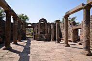
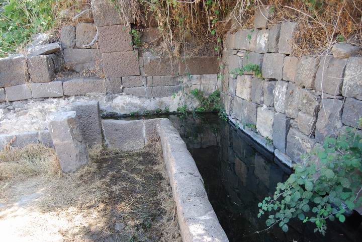
Ruins of a Byzantine village located in the southern Golan heights. The site has a spring that flows out of a double-arches structure, and ruins of a grand 5th century synagogue.
Home > Sites > Golan > Em Hakshatot (Ein Hakshatot, Umm el-Qanater, Kshatot Rehavam)
Contents:
Background
Location
History
Identification
Photos
* General view
* Synagogue
* The village
* The spring
References
Etymology
Links
Background:
Ruins of a Roman village located in the southern Golan heights. The site has a double-arches wall where a spring is located (hence its name), ruins of a 5th century synagogue, and ancient houses.
Location:
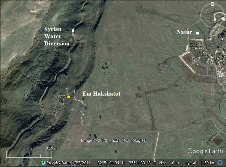
The site is located on a steep hillside about 1KM west to Kibbutz Natur, just above Nahal Samech which flows into the sea of Galilee. The Roman village size is about 30 Dunam (3 Hectares).
The site can be reached by a passenger car via the main north-south road in the Golan heights (#808, from Katzerin to Ramat-Magshimim). Follow the signs to Kibbutz Natur. Just before the Kibbutz a dirt road towards the south makes a bypass – around then below the Kibbutz – to a parking lot. From the parking lot there is an easy access to the edge of the cliff above the site, and then stairs that lead to the arches, synagogue and houses. It is a recommended stop, and the mix of history, nature and view is worth the 1.5 hours detour.
History:
- Hellenistic and early Roman
The area of the southern Golan heights saw a dramatic increase in the number of Jewish villages in the end of the 1st century BC, at the times of King Herod, from virtually none – to 20 or more villages. The reason was due the fact that King Herod received the area from Augustus Caesar and relocated Jewish settlers to this area in order to populate his new territories. This site was probably one of the Jewish villages that were established at this time.
The villages were based on agriculture: fruits, sheep and crops. They were established in sites with sources of water (natural springs), since the Golan heights are like a desert and the summer is very hot and dry.
Several structural remains of a Roman period synagogue were found under the floor of the Byzantine period synagogue.
- Byzantine (“Mishna” and “Talmud” periods)
The ancient Jewish village reached its peak in the Byzantine periods (4th-6th century AD) as most of the other villages in the Holy Land. The grand synagogue was built in the 5th century, as established by the excavations. The quality of the structure shows that the village could afford such expenses due to its commercial success.
- Persian/Arab
The Jewish villages in the Golan were demolished in the 7th century AD after the Arab conquest.
- Ottoman
During the 17th-20th century AD (Ottoman period) new Arab settlers, mostly minorities such as Druze, resettled in the Golan heights. They reused the hewn stones and architectural elements from the ancient villages in order to build or rebuild their new houses. Within the ruins of the Byzantine village the new settlers established a new Arab village called El-Manshiyah, which existed until 1967.
- 19th Century Discoveries
The site was discovered in 1885 by the explorer Laurence Oliphant (see references). He identified the site as a 1st-2nd Century Synagogue, and regarded it as one of his major discoveries in the Holy Land. It was later excavated in 1905 by Kohl and Watzinger, who also excavated Capernaum.
- 6 day war
Before the 6 day war (1967) the area below the site was one of the sections where the Syrians attempted to divert the sources of water from the Sea of Galilee, but the Israeli air force blew up the heavy equipment used for this plan (1966). Since the war the Golan heights are within Israeli territory, and a Kibbutz (Natur) was established 1 KM east to the site.
- Recent years
In recent years the magnificent Synagogue was reconstructed. The site opened to the public as a national monument, and was renamed “Kshatot Rehavam” and “Ein Hakshatot”.
Identification:
There are no known inscriptions that can reveal the name of the village. According to scholars, the site may have been the village of Kamattirya. It is referred to in the Talmud – the 5th century AD books of religious practices, an extension and interpretation of the earlier texts of the Mishna – 3rd century AD.
A person – by the name of Simon – is from a village called Kamattirya, and is mentioned in several places (for example: Talmud Yerushalmi, Brachot, chapter 9 page 2).
Photos:
(a) General view:
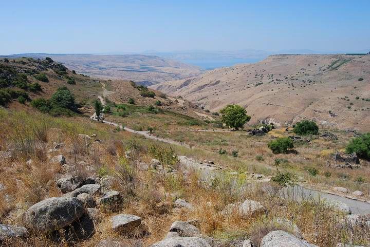
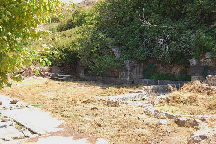
The photo below shows the southern side of the site, looking from the top of the hill towards the west. The deep valley behind the hillside is called Samech, and it flows to the sea of Galilee (seen in the center far background). The double-arched spring is located on the hillside on the left side. Some of the ruins of the village’s houses are seen on the right side.
Click on the photos to view in higher resolution…
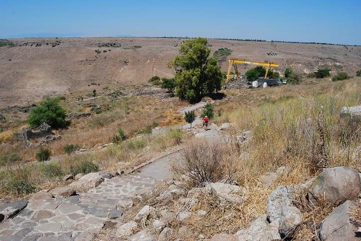
A view towards north shows more of the Arab houses, and the ruins of the Synagogue which were at that time under reconstruction at that time (using a large yellow crane).
(b) The Synagogue:
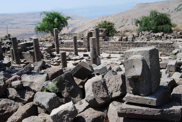
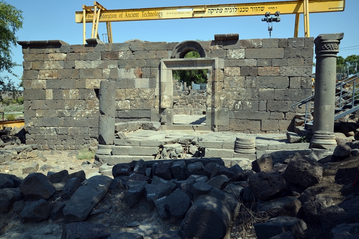
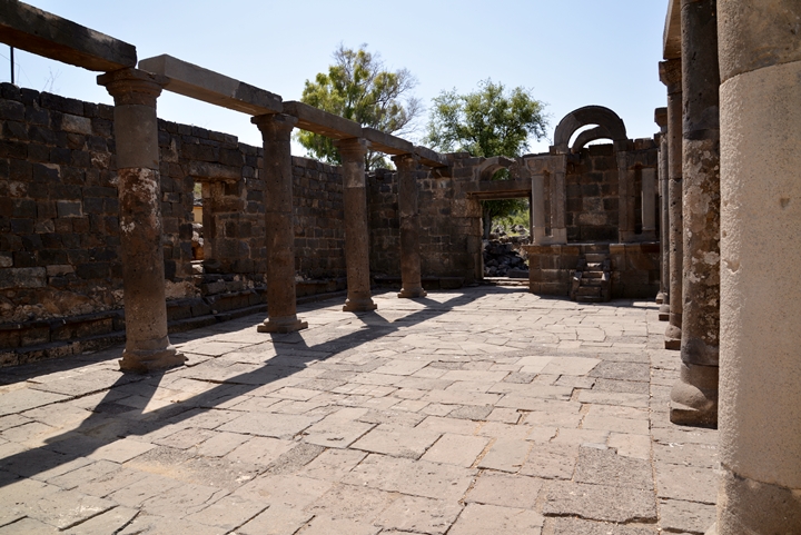
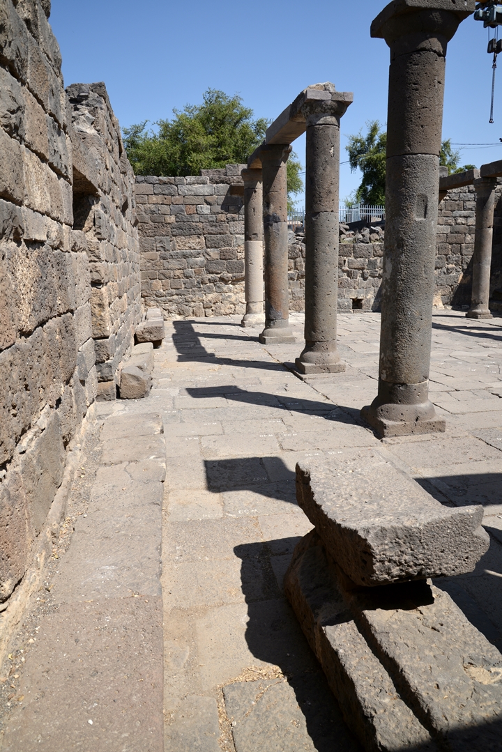
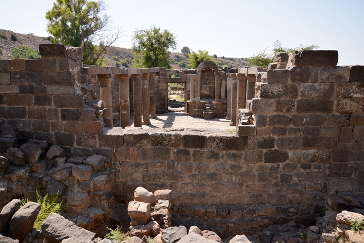
The magnificent Synagogue was a double-story structure, built out of black hewn (cut) basalt stone. This was the state of the structure during its conservation works.
The photo below shows the ruins of the synagogue, with the heavy yellow crane still working on the reconstruction in 2013. The conservation, building the structure piece by piece, was performed by Yeshua Dray who specializes in restoration of ancient technology.
The following photos were taken in 2013, during the time the restorations were on hold pending funds.
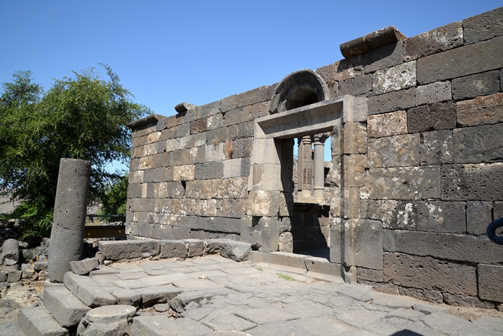
Here is the front, facing south towards Jerusalem:
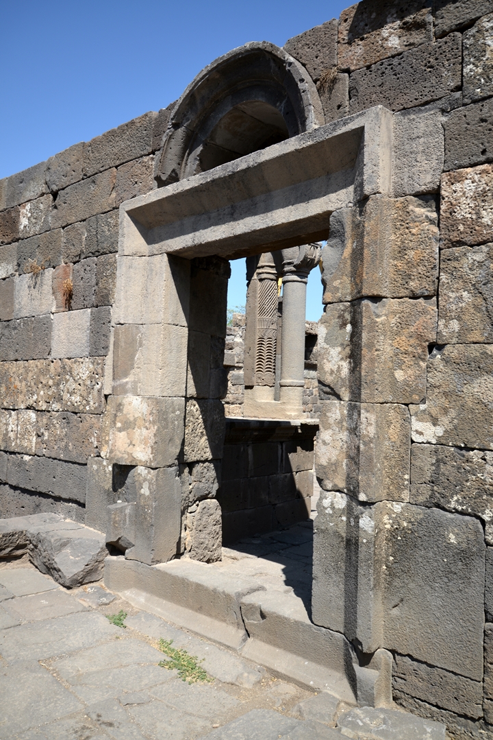
There were two entrances:
- 1.62M wide door facing the south side in direction of Jerusalem, here below, and
- 1.32M wide door on the west side, facing the Sea of Galilee.
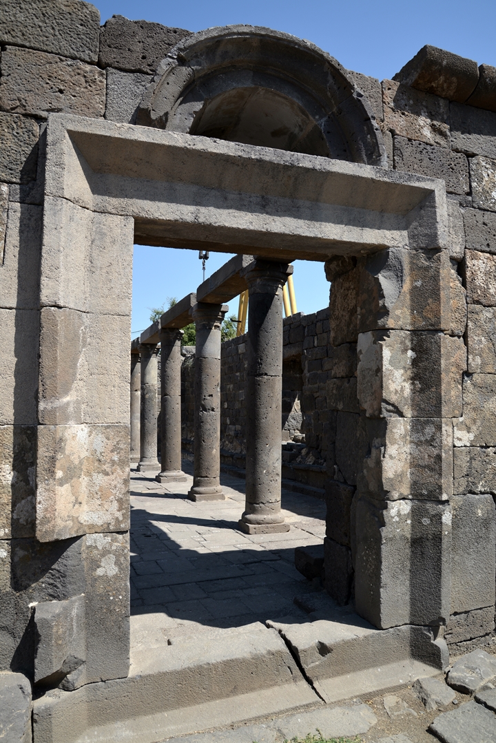
Another view of the entrance door:
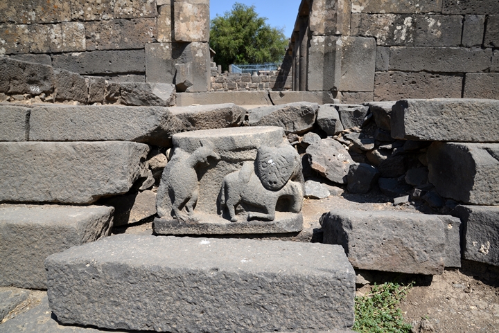
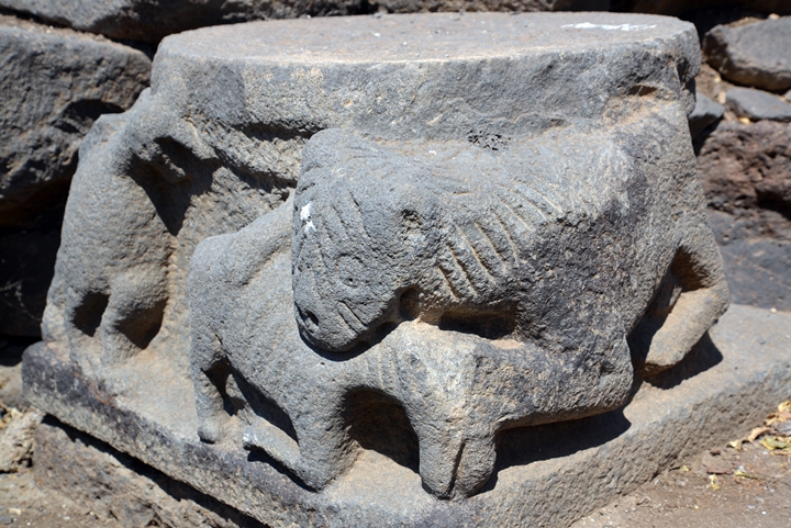
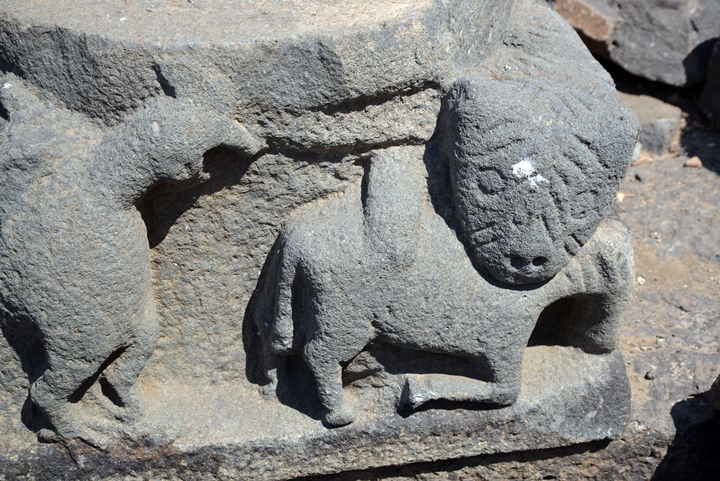
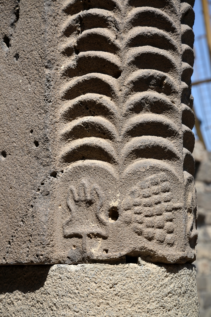
On the side of the steps is a section of a column with carved animals:
Closer views:
- Interior:
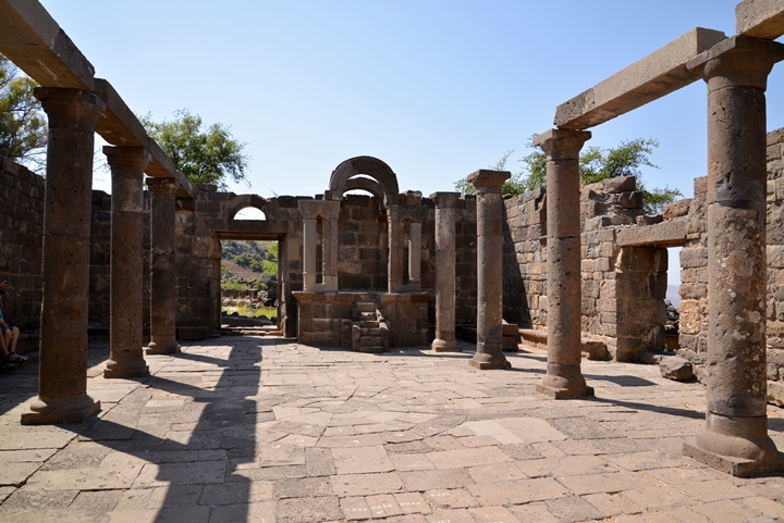
The sizes of the synagogue are 18.8M long x 16.8M wide x 12M high. It is dated to the Byzantine period (5-6th century AD).
The roof above the second floor, now missing, was made of tiles.
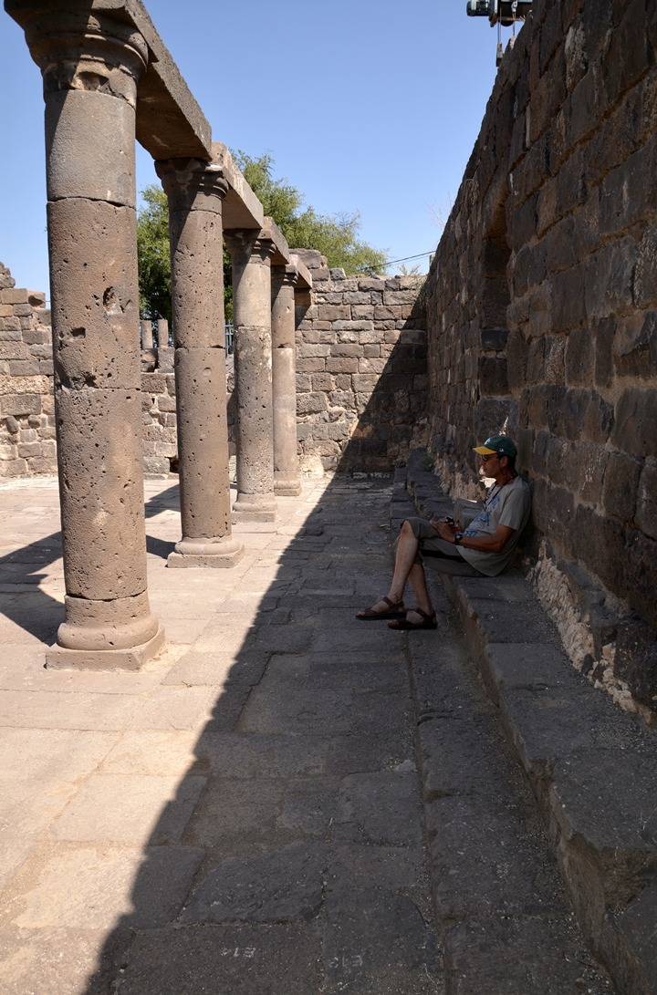
The synagogue had columns arranged in 2 rows (5 on each row), and two columns between the rows.
Yet another view of the interior, looking towards the entrance:
A view towards the rear and the western wall:
View from the rear:
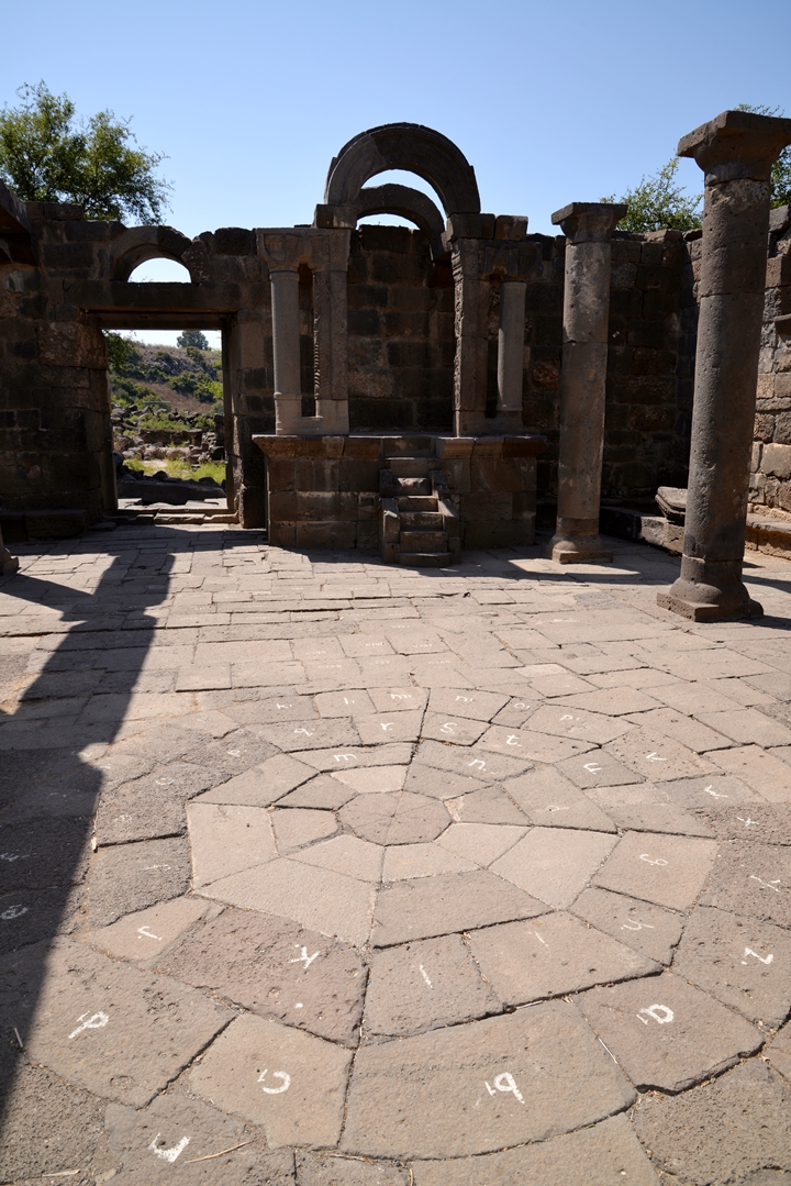
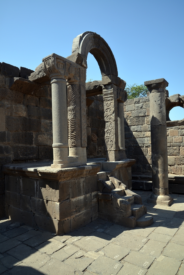
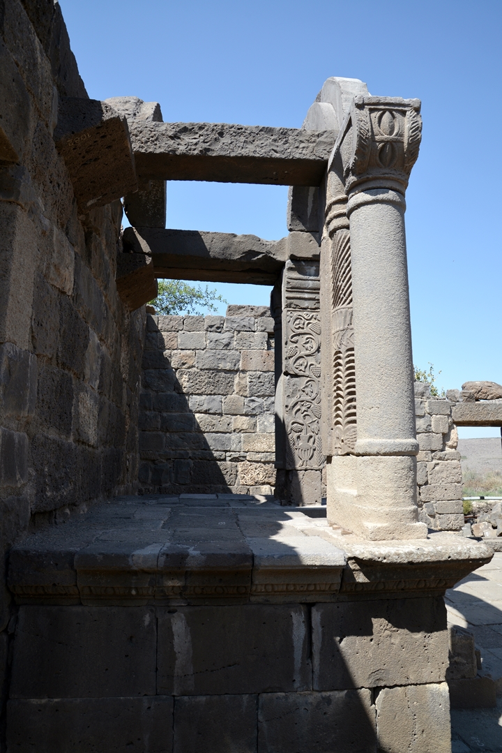
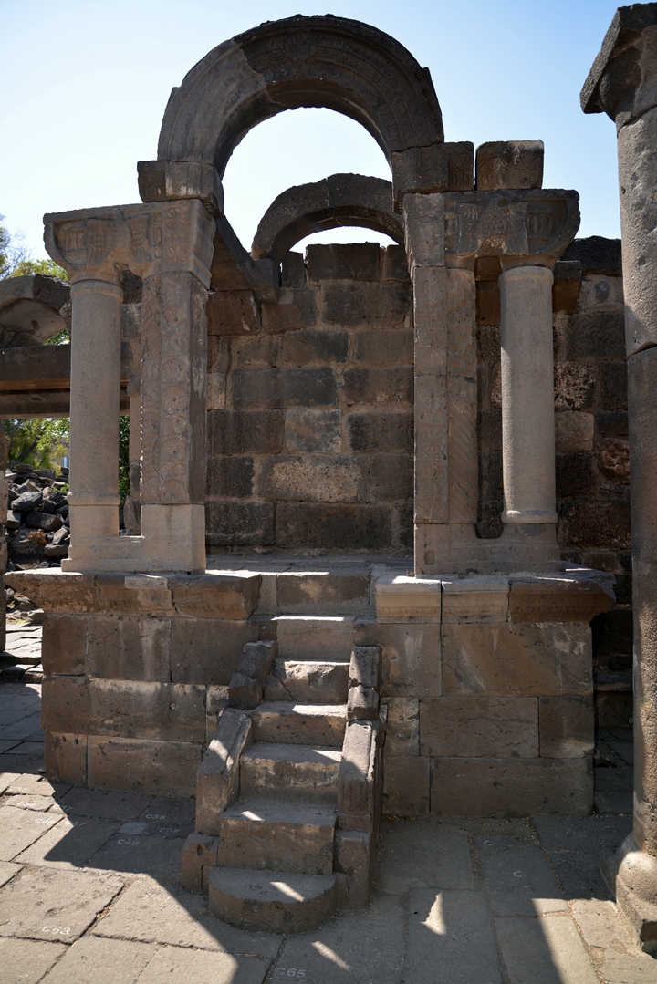
- The Bema (Bimah):
The bema, or bimah, is in Jewish synagogues an elevated platform used for Torah reading during services. It is located on the side of the entrance.
The Bema in this synagogue is beautifully designed.
Here are some views:
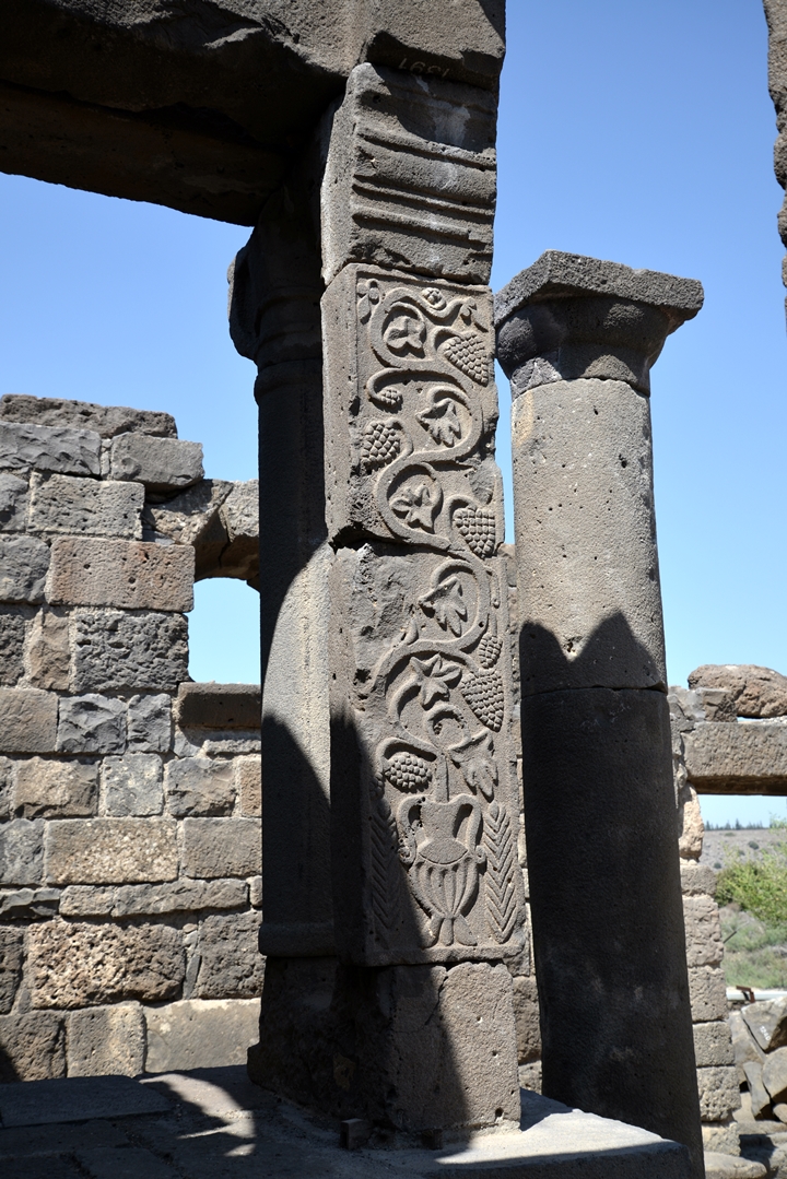
There are also some unique carved elements on the columns of the Bama.
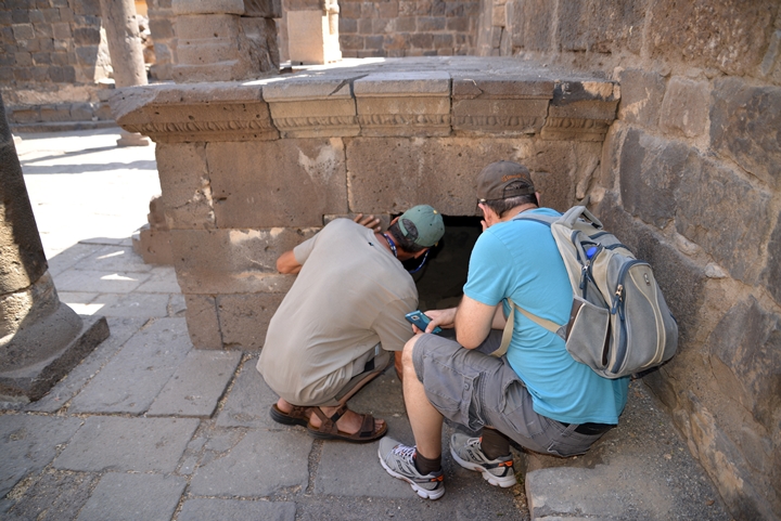
Amnon and Ronnie peek into the cavity under the Bama:
- Benches on the sides:
The excavations discovered benches on three sides (east, west and south). This photo is of the eastern wall.
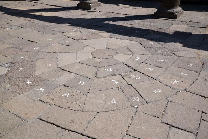
- The tiled floor:
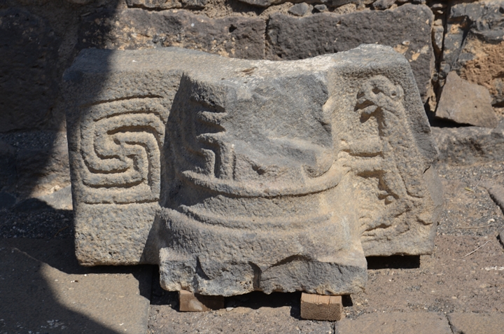
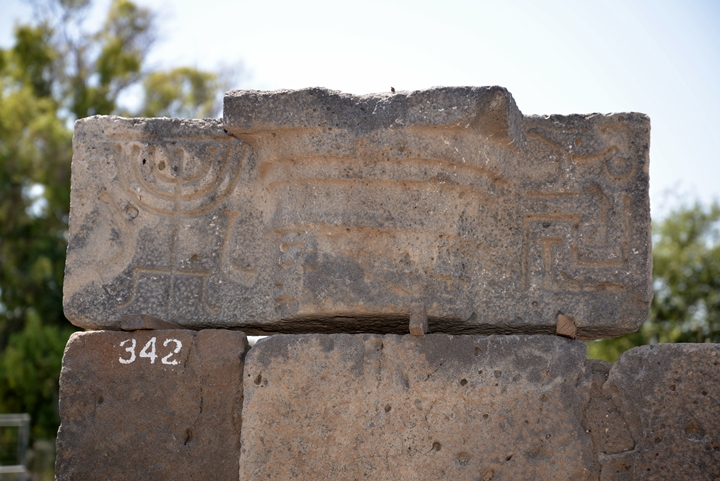
- Carved elements:
- Vault:
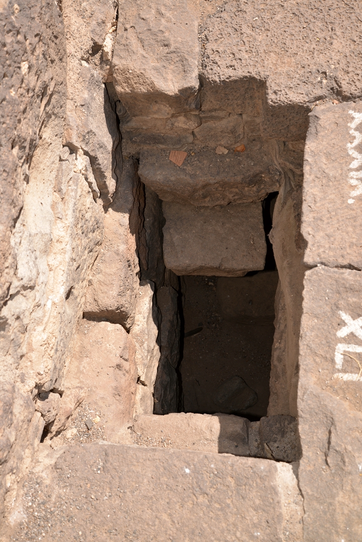
A vault was found under the floor and was probably used to store old scrolls.
(c) The village:
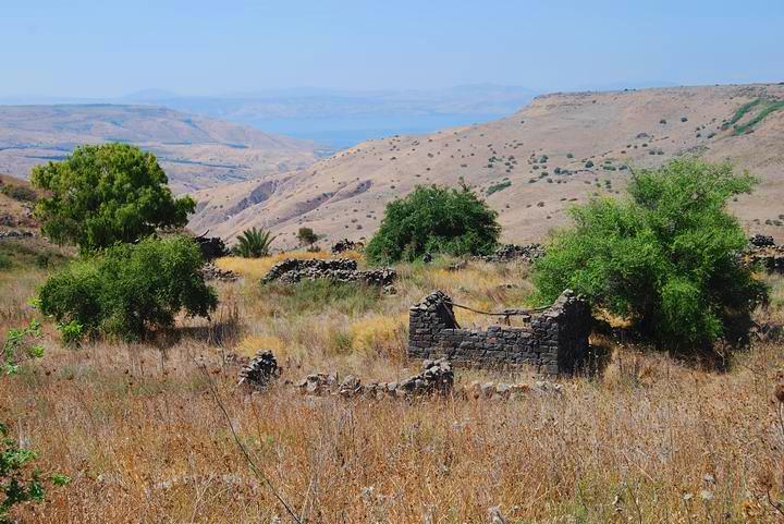
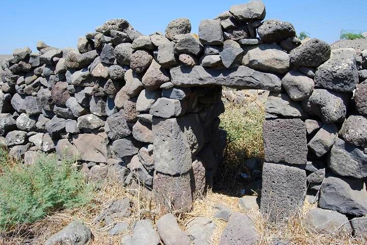
Around the site are ruins of the Arab village of El-Manshiyah, which preserved most of the Roman houses and building blocks. The photo below shows some of these houses on the west hillside facing the sea of Galilee (seen in the center behind the hills of the Golan heights).
In some of the buildings were Roman-era stones with carvings of various decorations, probably taken from the Synagogue. The stones were relocated elsewhere.
(d) The spring at the Arches (Ein Hakshatot):
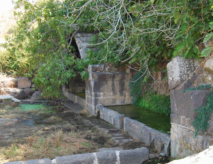
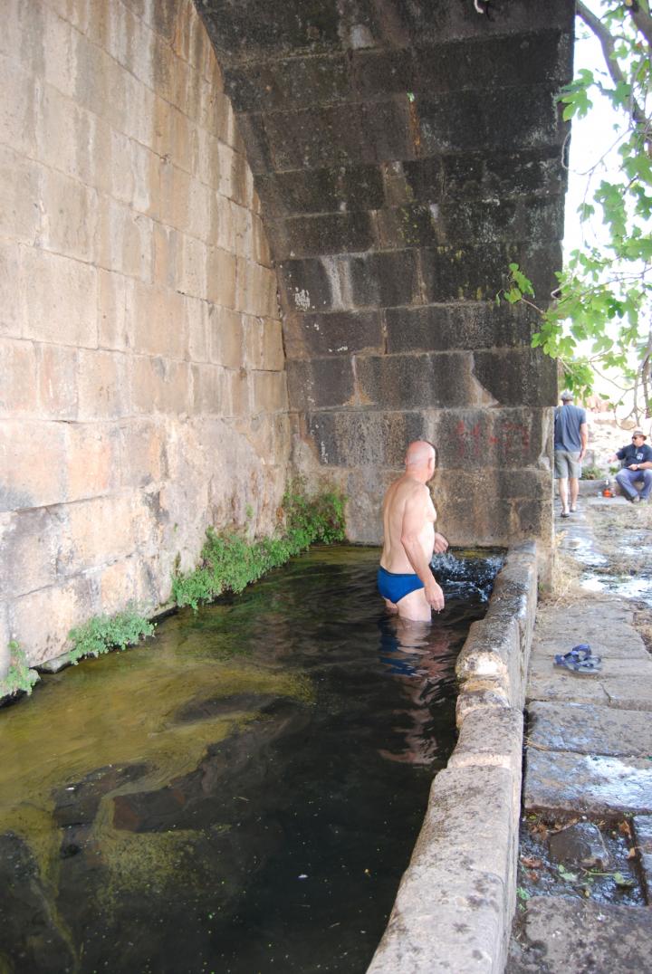
On the south side of the site, under a high basalt cliff, is the spring that was the heart of the village. A double-arch structure, built from large hewn stones, collects the waters of the spring into rectangular pools.
Another view of the spring.
The spring’s water are clean and refreshing – and even some dive in. The water is covered in some sections by a fine mesh of water plants.
A detail of the spring and the pool on the south-west side.
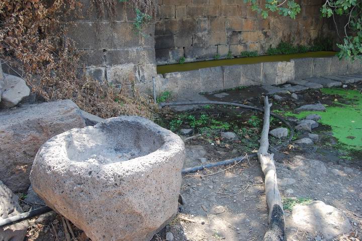
Another detail of the spring, with a large stone reservoir.
References:
His article was published on Mar 20 1885 in the New York “Sun”, with the title “Discovering Um el-Kanater”, where he tells his readers about his discovery of the springs and the ancient Synagogue. Laurence was charmed by the spring, and also noticed a faint inscription on one of the walls at the height of 16 feet. He also found a carved stone with the face of a Lion. Inside the pool he noticed that there were fish swimming in the waters and was puzzled by this fact. His guide, a Sheik, called the spring “Umm el-Kanater” – mother of the arches. In the ancient synagogue he marked the size of the structure and located the carved stones. Laurence determined, based on other sites, that this was built in the 1st/2nd century AD. Summarizing these discoveries, he regarded the site as one of his most important discoveries, and recommended further investigations. These popular reports indeed brought professional excavations 20 years later and contributed to the revival of the explorations and discovery of the Holy Land – which were almost non-existent before his times. As a reporter, his articles ignited the imagination and curiosity of the World… Indeed, a pioneer of Bible Walks! “Haifa” by Laurence Oliphant is a recommended book for the period of rediscovering the Holy Land. |

Laurence_Oliphant (1829-1888) Public domain photo |
Etymology (behind the name):
- Umm el-Kanater (Qanater)- Arabic, meaning “Mother of the arches”: Um is “mother”, and Kanater is “arches”. In the Galilee there were other sites by this name – such as the bridge near Beit-Yerach.
- Em Hakhsatot – the name in Hebrew, translated from the Arabic name, meaning “Mother of the arches”: Em is “mother”, and “Hakshatot” is “the arches”.
- Ein Hakshatot – Hebrew: The spring of the Arches – a modern name of the site.
- Kshatot Rehavam – The new name of the site in Hebrew: “Arches of Rehavam”. Recently, the site was named after Rehavam (Gandhi) Zeevi, the tourism minister who was assassinated on Oct 2001 on Mount Scopus in Jerusalem.
- Ein el-Tsafriah – the name of the spring in Arabic.
Links:
- Ein Keshatot National monument web site
- The synagogue’s reconstruction company (under “Arches” or current project)
- Sefi Ben Yoseph‘s tours (in Hebrew)
BibleWalks.com – walk with us through the sites of the Holy Land
Kanaf<–previous Golan site—<<<All Sites>>>–Next Golan site—>Yehudiye
This page was last updated on Mar 11, 2021 (early Roman synagogue?)
Sponsored links:
