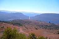
Ruins of a Biblical city. This site may have been Ramathaim Zophim – the home city and place of burial of prophet Samuel.
* Site of the Month Nov 2019 *
Home > Sites > Samaria > South > Khirbet esh-Shuna (Ramathaim Zophim?)
Contents:
Background
Location
History
Photos
* Aerial views
* Summit
* Western ridge
* Panoramic views
* Walls
* Cisterns
* Burial caves
* Reservoir
* Nature
Etymology
Links
Overview:
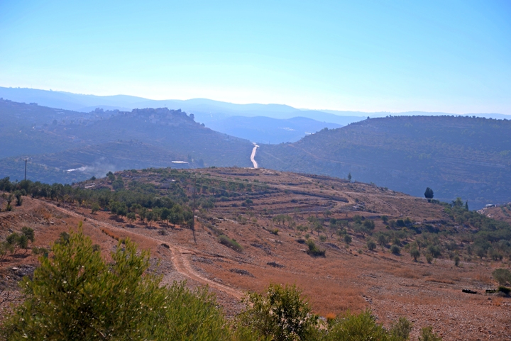
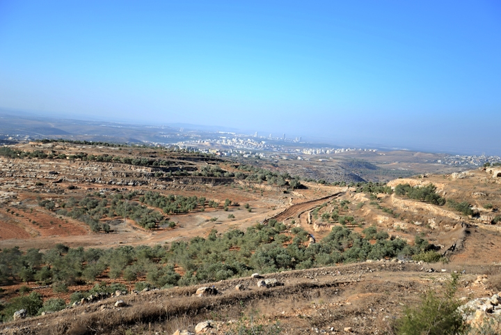
Ruins of a Biblical city in the South Western hills of Samaria. The ruins are scattered on the top and foothills of twin hills south of Deir Ammar. Some scholars suggest this was Ramathaim Zophim – the home city and place of burial of prophet Samuel.
1 Samuel 1:1: “Now there was a certain man of Ramathaim Zophim, of mount Ephraim…”.
Location and Map:
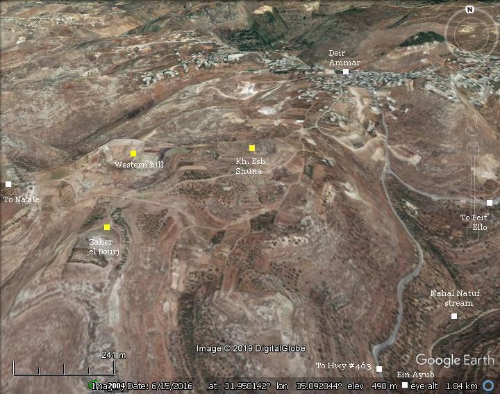
An aerial map of the area around the site shows the major points of interest.
The summit of the ruined Biblical city, appearing on modern map as Khirbet esh-Shuna, is located at altitude of 534m, more than 150m above the valley of Nahal Natuf that flows on the south and eastern foothills. A spring (Ein ‘Ayub – Job’s spring) is located in the valley, near the modern junction of highway #463 (‘postal junction’).
The site can be reached from a dirt road that starts close to the community of Na’ale.
History:
-
Iron Age
According the ceramics survey of south Samaria, the archaeologists dated the earliest settlement on the eastern and western hills to the Iron Age I – the times of the Judges.
The majority of the pottery were dated to the Iron Age II. On the site the survey identified 50 wine cellars dated to the first temple period. They were constructed in 3 cluster areas, implying that this industry was a public industrial operation rather than private. A large (400 cubic meter) water reservoir was also found on the eastern hill.
A Biblical map is shown here, with the site marked as a red square. It is far from major cross roads, although the site is situated on a high hill above a local throughway which is also used today (Hwy #463).
The site is located 7km north of Beth-Horon Lower (modern Arab village of Beit Ur at Tahta), and Beth-Horon Upper (modern Beit Ur el Foka). The ancient Beth-Horon road, now highway #443, was one of the main ascending roads to Jerusalem, and regarded as the southern border of the tribe of Ephraim. To its south was the tribe of Judah.
Roads and cities during the Israelite period thru the Roman period, 20th BC- 1st century AD (based on Bible Mapper 3.0)
-
Prophet Samuel
Some scholars identify the Biblical city as Ramathaim-Zophim, the home city and place of burial of prophet Samuel.
Samuel was one of the most important prophets in the Bible. Under God’s directive, he shifted the leadership of the Israelites from the judges to the Kings. He anointed the first King – Saul – with Holy Oil on his head. Afterwards, Samuel anointed King David, thus establishing the royalty Davidic line (“Royal house of David”).
Samuel was born in Ramathayim Zophim in mount Ephraim (1 Samuel 1: 1 & 20) :
“Now there was a certain man of Ramathaimzophim, of mount Ephraim, and his name was Elkanah…and called his name Samuel, saying, Because I have asked him of the LORD.”.
According to two Biblical verses, Samuel died and was buried in a place called “Ramah”, short for Ramathayim Zophim – the home city of the prophet:
-
(1 Samuel 25: 1): ” And Samuel died; and all the Israelites were gathered together, and lamented him, and buried him in his house at Ramah.”
-
(1 Samuel 28: 3): “Now Samuel was dead, and all Israel had lamented him, and buried him in Ramah, even in his own city.”.
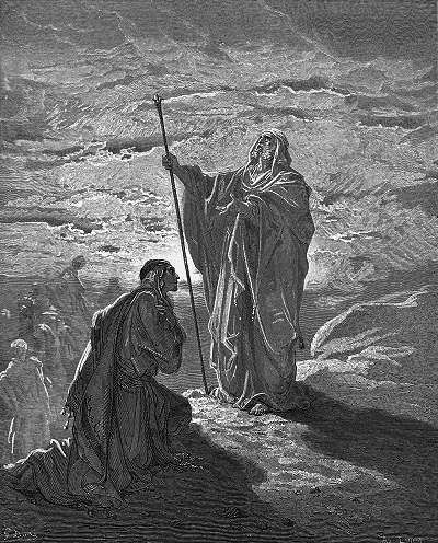
Samuel blesses Saul – – by Gustav Dore (French artist, 1832-1883
Ramah is the short form of Ramathaim Zophim, as both names were used in the same chapter (1 Samuel 1:19): “And they rose up in the morning early, and worshipped before the LORD, and returned, and came to their house to Ramah:”.
So where is Ramah/Ramathaim Zophim)?
The location of Ramah is not known, but according to its meaning (Hebrew for heights) it should be a high hill in the the area of Ephraim. The other word – Zophim – may be interpreted as a scouting place, based on the Hebrew word. Another theory is that Elkanah – Samuel’s father – was a grand grandson of Zuph, so Zophim refers to that place.
There are several suggested places that can fit Ramah. One of them is “A-Ram” (or: “er Ram”). It was suggested by the PEF survey (Sheet 17, V III p 13): “A small village in a conspicuous position on the top of a high white hill, with olives. It has a well to the south. This place is the ancient Ramah of Benjamin”. Other places were suggested, also with the same root word, is Ramallah (9KM to the north) and Ramleh (30km North-west, which is less likely). Another common identification was Rentis.
Yet another theory is the city at this site – khirbet esh Shuna. It is an Iron Age period settlement, located in the mountain area of Ephraim, situated on a high location (Ramah), built on twin hills (Ramathaim means 2 hills) and overlooking the region (Zophim).
-
Hellenistic and Roman periods
The analysis of the ceramics found on both hills showed that the settlement continued during the Hellenistic and Roman periods. The water reservoir was converted to a storage place during the Roman period. A miqveh (Jewish ritual bath) was found on the western hill.
The winery storage pits were probably converted to hiding complexes during the Bar Kokhba revolt, by cutting tunnels that interconnected them. There is also a hiding tunnel inside the water reservoir.
After the crush of the revolt the village was deserted, never to be settled again.
- Ottoman period
Conder and Kitchener surveyed this area during the Survey of Western Palestine (SWP) in 1873. A section of their map (part of sheet 14) is shown here.
Part of maps Sheet 14 of Survey of Western Palestine,
by Conder and Kitchener, 1872-1877.
(Published 1880, reprinted by LifeintheHolyLand.com)
The name that appears on their map is “Kh. el-Meidan”, meaning in Arabic according to their dictionary: “”The ruin of the plain or exercise ground”.
They wrote about the site a short description (Vol II p. 340): “
“Khürbet el Meidan – Traces of ruins and a modern tower. Caves to the west”.
A set of caves appear to the left of the site.
Notes:
a. The name Khürbet el Meida appears in modern maps 500m to the east, on the side of road to Deir Ammar and Beit Ello.
b. The other name – Khirbet esh-Shuna – appears in British Mandate maps.
- British Mandate
A section of a map from this period shows the area of the site. In this map there were several changes from the Ottoman period map. Kh. el Maidan was moved to the bend of the road on the east. Another ruin was marked near Kh. esh Shuna (Beit ‘Iweis) – ruins of a lone structure. To the south are two ruins – Kh. ed Dakakin and Dhahr el Burj.
- Modern Period
The site was surveyed by Finkelstein et al. in 1997 (pp 208-210). Their analysis dated the findings starting at the Iron Age I, while the majority of findings were Iron Age II, Hellenistic, Roman and Byzantine. A summary of this survey was a “Large terraced ruin with a silhouette of a tell; pillars; jambs; oil press element; burial caves; cisterns” (as per WBADB survey database). In Beit ‘Iweis, on the north side of the western hill, the summary was “Ruin; 15-20 apertures of rock-cut cisterns; columbarium”. In Kh. ed Dakakin the summary was “Walls; well-built terraces; cisterns; burial caves; tombs”.
The visit to the site was made possible with Dr. Dvir Raviv, and we thank him for his guidance. Due to security reasons, visits here may be allowed only with permission with the Army.
Photos:
(a) Aerial views
A drone view of the area around the site was captured in September 2016. The summit of Kh. esh Shuna is seen to the left of the middle of the field of view. Its ruins cover the area around the summit. On the right background is the deep valley of Nahal Natuf (Wady esh Shamy).
Click on the photos to view in higher resolution…
A view from the south shows the summit from a closer range, just above the cars that park at the foothills.
Focusing on the summit, the terraces that surround the summit are better seen in the next drone view, captured form the south side.
(b) The summit
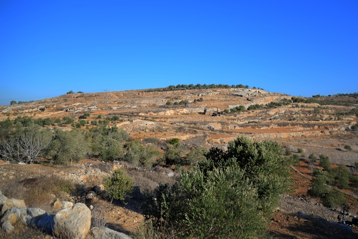
The summit of Kh. esh Shuna can be seen from afar. This view was captured from Horvat Aner (Neby Annir), on the other side of the valley of Nahal Natuf valley.
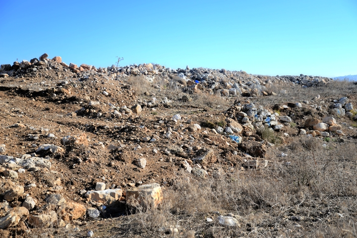
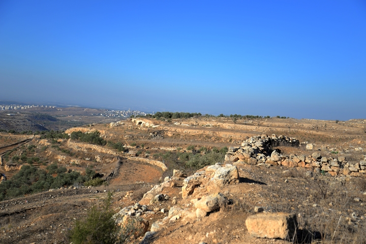
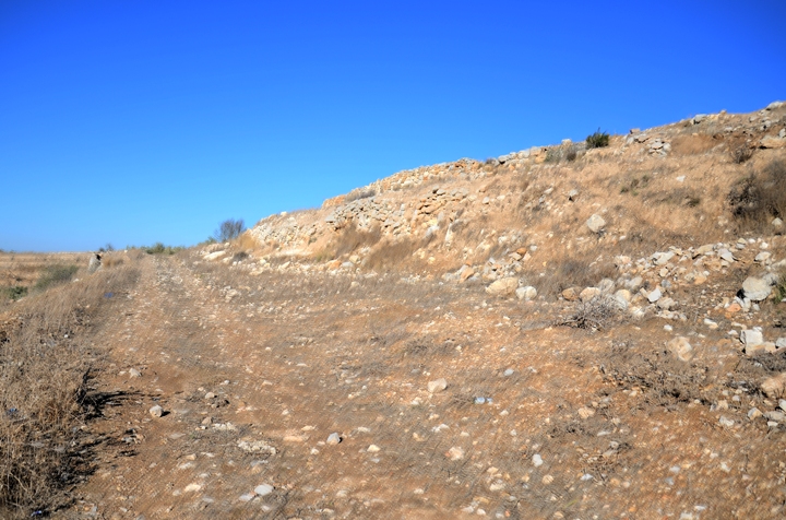
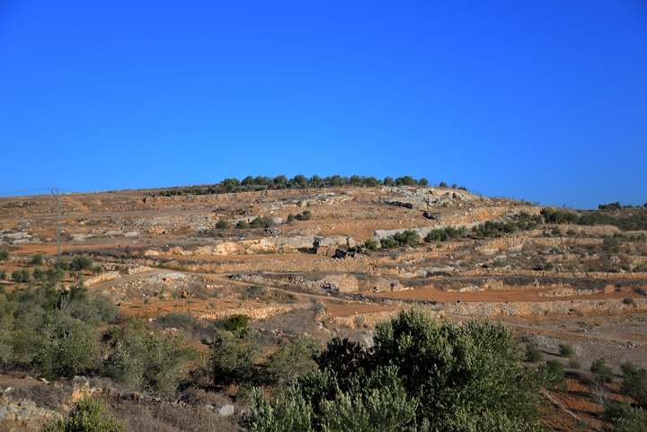
A close view of the summit, as captured by the drone on its south side, shows a terraced hill with heaps of stones and sections of walls. Most of visible antiquities and installations are on this side.
There are few distinct traces of structures, as the ruins were totally damaged by 3000 years of farming. Most of the antiquities are buried or scattered around.
To the west of the summit is another ridge, separated by a saddle that is 10m lower than both western and eastern peaks. Based on the archaeological survey, it was an extension of the ancient city, so the sum of the combined area is spread over 45 dunams (11 acres).
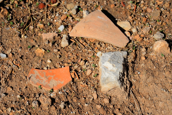
The area is scattered with various types of ceramic fragments. The majority were dated to the Iron Age II period (Israelite Kingdom – 1000 thru 586 BC), but they also included Iron Age I (judges – 1200-1000 BC), and later periods (Hellenistic and Roman/Byzantine).
(c) Panoramic View
From the summit are great views of the area to all directions: from the Beth El mountains on the east to the sea on the west, and from the lowlands of Judea in the south to the hills in the north.
This photo is towards the south east. To the left of the ascending road (hwy #463) is the Arab village of Ras Kerker (or Karkar), where an Ottoman period castle was located and was the nucleus of this ‘throne’ village (a central village of a semi-feudal family that controlled villages around it).
A Panoramic view, as seen from the south side of Kh. esh Shuna, is shown in the following picture. If you press on it, a panoramic viewer will pop up. Using this flash-based panoramic viewer, you can move around and zoom in and out, and view the site in the amazing full screen mode (like you are really there). Hotspots are indicated on the view, indicating the major points of interest .To open the viewer, simply click on the photo below. Note that it may take minutes to upload, but then its worth the waiting time.
(d) Ancient walls
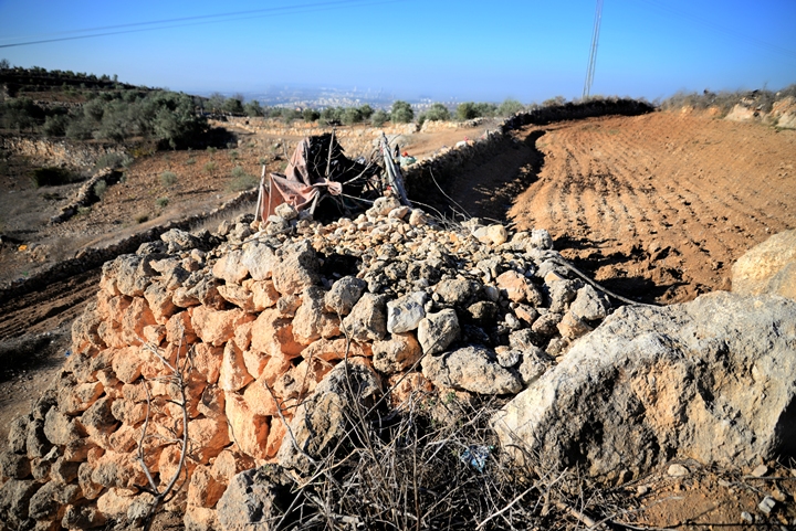
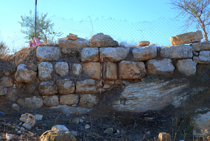
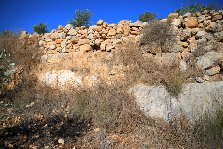
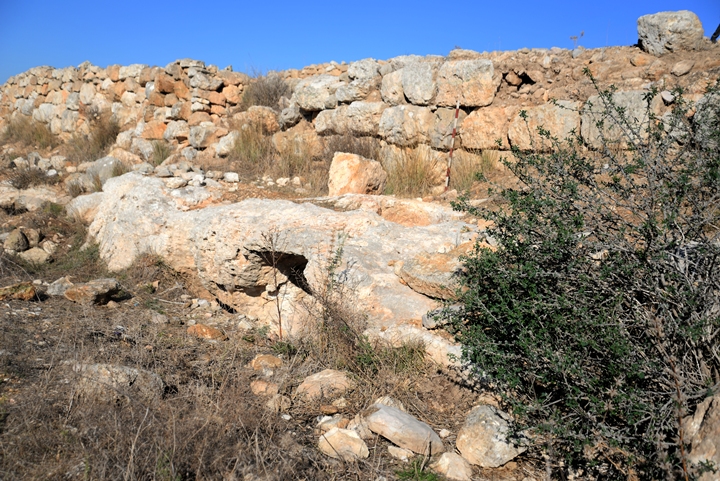
Traces of ancient walls are seen on the summit, on its foothills, and the area around it.
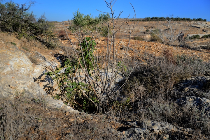
Some sections of the foothills are still farmed, revealing traces of antiquities.
Some of the terraces incorporated sections of ancient walls, made of large roughly hewn fieldstones, typical of the Bronze and Early Iron age. The archaeological measuring stick shows the dimensions of the stones with 10 cm bars.
Another terrace wall was built over an ancient base.
(e) Cisterns and Agriculture installations
Along the southern foothills of the western ridge are most of the cisterns and agriculture installations.
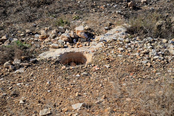
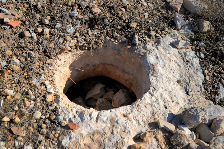
More than 50 cisterns were found on the site. These rock hewn cisterns are dated to the first temple period. The walls of most of the cisterns were not covered with plaster, indicating that their use was for storage rather than for water supply. However, some of them were plastered at a second phase, when they were converted to water reservoirs.
Therefore, the conclusion that they were used to store wine and oil that was produced here.
The bell shaped cisterns are of the the “Gibeon” type wine cellars, which are common in Judea and Samaria. Their opening is 0.5m, while the cistern is at an average of 1.8m in diameter.
The wine jars were kept inside the bell shaped cellars. These underground cellars kept the jars, either wine or olive oil, within a year round constant temperature of 18 degrees Celsius.
Between the cisterns are tunnels that interconnect them together. This was used, many years after the cisterns were cut for agriculture purposes, as an underground hiding place during the Bar-Kohba revolt.
(f) Burial caves
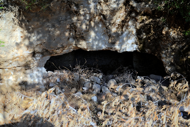
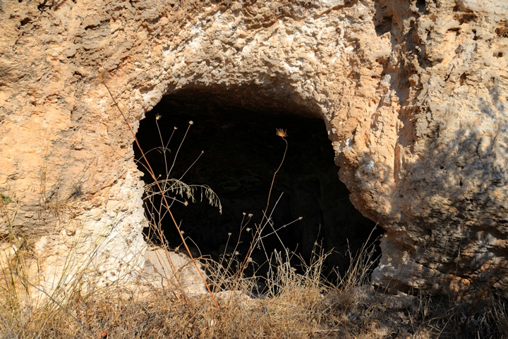
There are openings to 6 burial caves, along the lower part of the southern foothills of the western hill.
We examined a large burial cave on the foothill of the western hill.
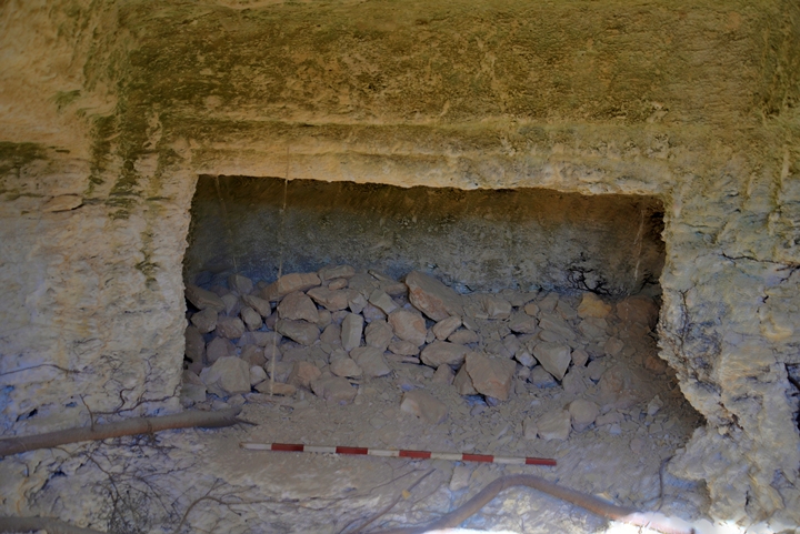
Inside is a burial niche with a beautifully carved frame. Is it the tomb of the prophet?…
A closer view:
Another burial cave is seen here just below an ancient wall.
This burial cave is dated to the second temple period.
Inside the cave are burial niches (kokhim).
(g) Water reservoir
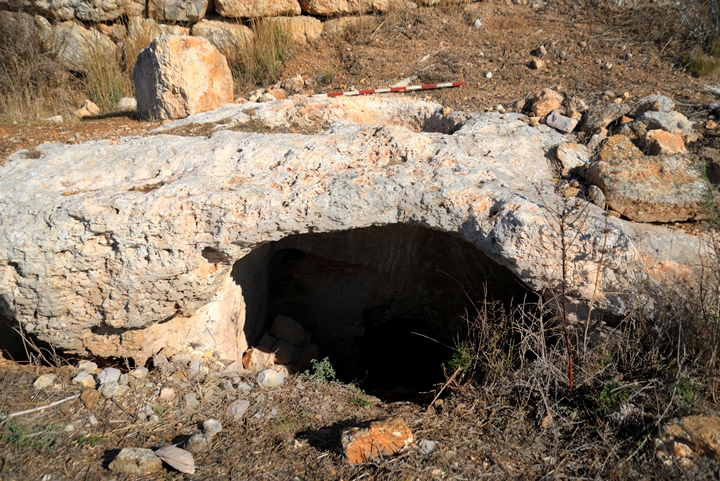
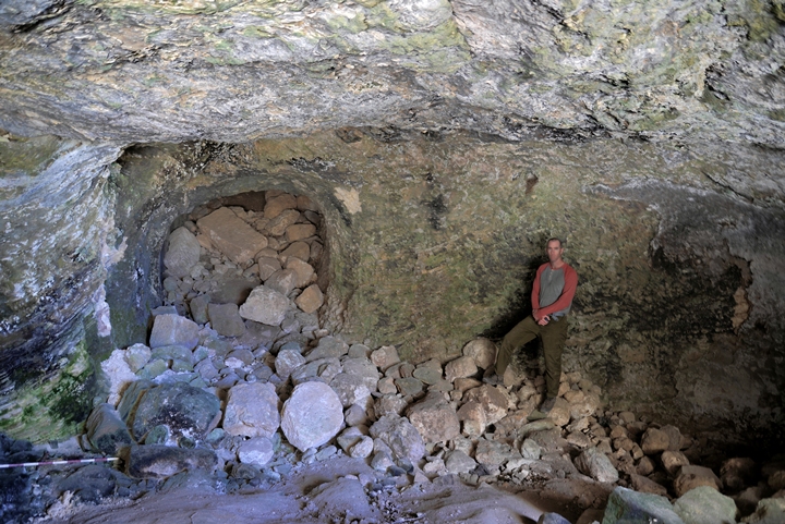
A large water reservoir, dated to the Biblical period, is located at the foothill of the eastern hill, just below the city wall. Its sizes are 12m wide by 13.5m long, and is 4m high. It can store, together with the tunnel, 400 cubic meters of water.
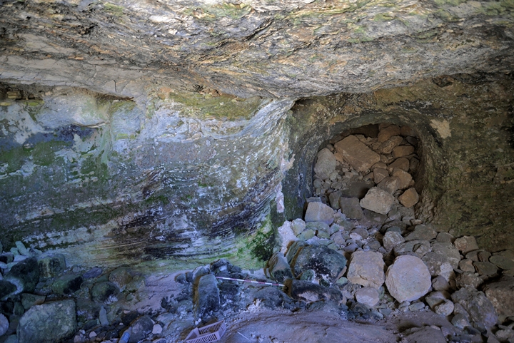
This photo shows the inner side of the reservoir, as viewed from the current wide entrance on the south western side. According to the clues found here, the reservoir underwent several phases of construction.
The original entrance to the reservoir was through an opening on the eastern side of the cave, as seen in these photos. The tunnel is currently blocked by stones.
A 13m long, 2m high tunnel slopped gradually (20 degrees slope) up to the surface, exiting east of the reservoir and 2 terraces above it. Due to the blockage of the tunnel, it is not known if there were steps on the surface. The slopped tunnel, which is also sealed by plaster, allowed the water levels to rise, thus making it possible to fetch the waters at different points along it.
An illustration of the underground installation is shown below. The 13m tunnel was cut under the city wall, leading down and outwards to the hidden reservoir.
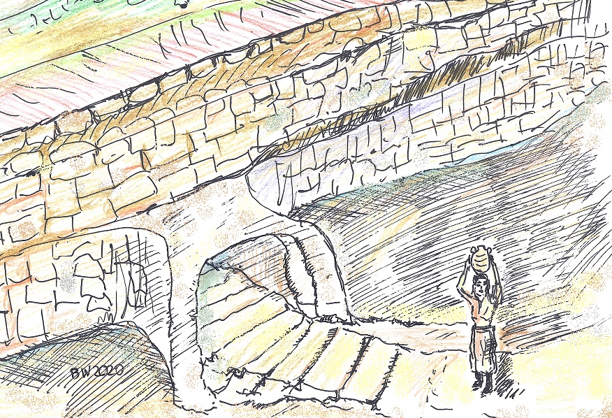
On the walls around the tunnel are layers of grey plaster that sealed them from leakage. On the ceiling is a vertical shaft that brought in the run off rain water.
There are cavities on the walls that were used to hold oil lamps, penetrating the layer of plaster. The surveyors dated the ceramics to the Iron Age II and III, and some to the first and second century AD. Based on these findings, it can be assumed that the cave had a secondary use (storage) during that time.
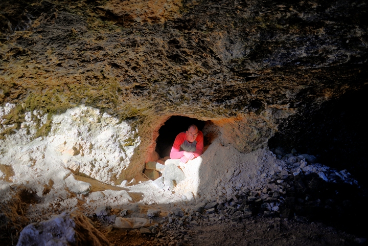
On the west side of the reservoir are openings to underground cavities, which have been cut in a later period. Perhaps, used as hiding tunnels during the Bar Kohba revolt.
(g) Zaher el Bourj and Kh. Dakakin
To the south west of the site is a ridge named Zaher el Bourj. Zaher, or Daher, is in Arabic: back. The name means: the back of the tower. The ruins here are also marked on the map as Kh. Dakakin.
A view of the ridge, as seen from the summit of esh Shuna, is in the view towards the south west. The large community of Modi’in is in the far background.
On the ridge are caves, agriculture installations, cisterns (such as below).
A view of the eastern foothills of Zaher el Bourj, and the area to its east, is seen here in the drone photo below.
In the valley below, between Daher and the ridge on its east side, is an easy access down to the Natuf valley, where the spring of Job (Ein ‘Ayub) is located. This was probably the path of the ancient road down from the Biblical city. A section of the British map shows a section of that trail that descended down to the valley.
Section of the British mandate map
From this location are views of the southern foothills of the western hill of khirbet esh Shuna. A series of burial caves dot these foothills.
(h) Nature
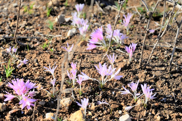
After the summer time, these gentle pink flowers cover the surface, announcing the coming of the autumn (hence the Latin and the Hebrew name – the flower of the Autumn). The flower, Sitvanit (Colchicum Autumnale), is referred in the Mishna (2nd Century AD books of Jewish practices) where it is said to be used to produce vinegar.
Etymology (behind the name):
* Names of the site and vicinity:
- Khirbet esh-Shuna – Arabic: ruin of the barn (?).
- Khirbet el-Maidan – on the PEF map – Arabic for: “The ruin of the plain or exercise ground”.
- Ramah: Hebrew: height, hill.
- Ramathayim – Hebrew: 2 heights/hills.
- Zophim: Hebrew: may be interpreted as a scouting place
- Zaher (Dhaher) – Arabic: back.
- Zaher el Bourj – Arabic: the back of the tower.
- Wady esh Shamy – Arabic: ‘Damascus or Syrian valley’.
Links and References:
* External:
- Transfer of 3 provinces – Dvir Raviv, Cathedra 71 (2019)
- Ramatayim – Biblical city in Kh. esh-Shuna and the identification of Ramatayim Zofim (Hebrew; E. Klein, H. Bezalel; Al Atar 17, 2013; Academic collage Herzog)
* BibleWalks nearby sites:
BibleWalks.com – tour the Bible Lands
Artabba fortress <<<—previous site—<<<All Sites>>>—next Samaria site—>>> Deir Samaan
This page was last updated on Aug 21, 2020 (updated tunnel illustration)
Sponsored links:
