A walled city during the Bronze and Iron ages, on the north-east side of the Sea of Galilee. According to some Christian traditions – it was the place where Jesus performed the second feeding of the multitude.
Home > Sites > Sea of Galilee> Tel Hadar
Contents:
Background
Location
History
Photos
* The Tel
* Jesus’ Miracle
* Lakeside
Biblical References
Etymology
Links
Background:
Tel Hadar was a walled city during the old Testament times. According to some Christian traditions, this was the place where Jesus performed the second feeding of the multitude, by multiplying seven loaves of fish and several small fish.
Mark 8 8/9: “…and they took up of the broken meat that was left seven baskets. And they that had eaten were about four thousand…”
Location:
The site is located on the north-east side of the sea of Galilee, about 2KM north of Kursi and 2KM west to Ramot.
It is situated between the estuaries Nahal Kanaf and Nahal Samakh streams.
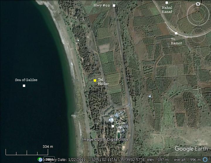
The site is adjacent to the Luna-Gal water amusement park on the north-east side of the sea of Galilee, and 2.5 KM north of Kursi. It is accessed through the public beaches Dugit/Golan.
History:
-
Bronze and Iron periods
The Biblical city was located on an important trade route – the road that climbed at this site up to the Golan heights through Nahal Kanaf. The city was walled, defended by two layers of inner and outer walls, covering an area of 20 dunams (5 acres). It was protected by water from one or more sides.
According to the archaeological survey that was conducted by the University of Tel-Aviv (1989-1987), the city was first established in the early Israelite/Iron age and continued until the Assyrian conquest (8th century BC).
The archaeologists identified 6 layers in the Tel:
-
I: Late Iron Age, destroyed by the Assyrians in 732 BC,
-
II: Early Iron Age,
-
III: renewal of the settlement in 9th century BC,
-
IV: major building erected, destroyed by fire in the 11th century BC,
-
V: renewal of early Iron age settlement,
-
VI: early Iron Age settlement
-
Roman period
During the Roman period, this area was in the region of Decapolis, which was a group of 10 autonomous cities that included Gader and Hippus (Susitta), which are on the east and south coast of the lake.
A major Roman road passed at this junction and traveled east through the valley of Kanaf, crossing the Golan heights towards Damascus, which was also part of the Decapolis.
-
Jesus miracle
Some traditions consider this place as the site of the second miracle of the feeding of the multitude. According to the Gospels (see references), Jesus sailed across the sea of Galilee, landed in Decapolis, and fed 4,000 hungry people with just 7 loaves of bread and a few small fishes. The topography of the site and the proximity to the major Roman road makes this tradition sound reasonable.
-
Modern times
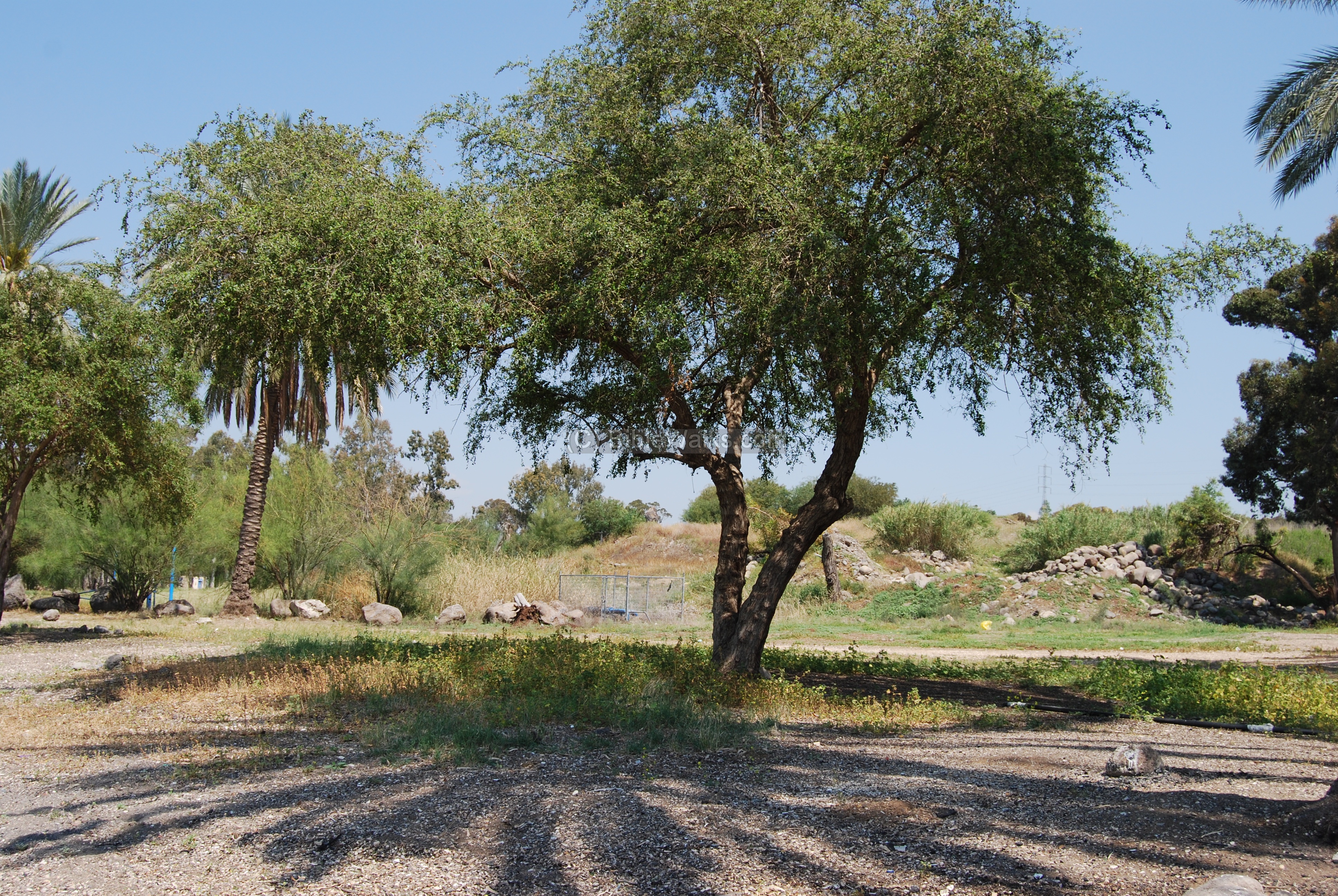
The Tel is in ruins, and most of the year covered by bush. Since it is located inside public beaches (Hof Dugit and Hof Golan, which are just north of Luna-Gal), the bush is cleared from time to time.
Recently a monument was erected on the west side of the Tel to mark the traditional place of the miracle. The place is now starting to be a pilgrimage site.
Photos:
(a) Aerial view:
An aerial view from a quad copter shows the mound from the east side.
Click on the photos to view in higher resolution…
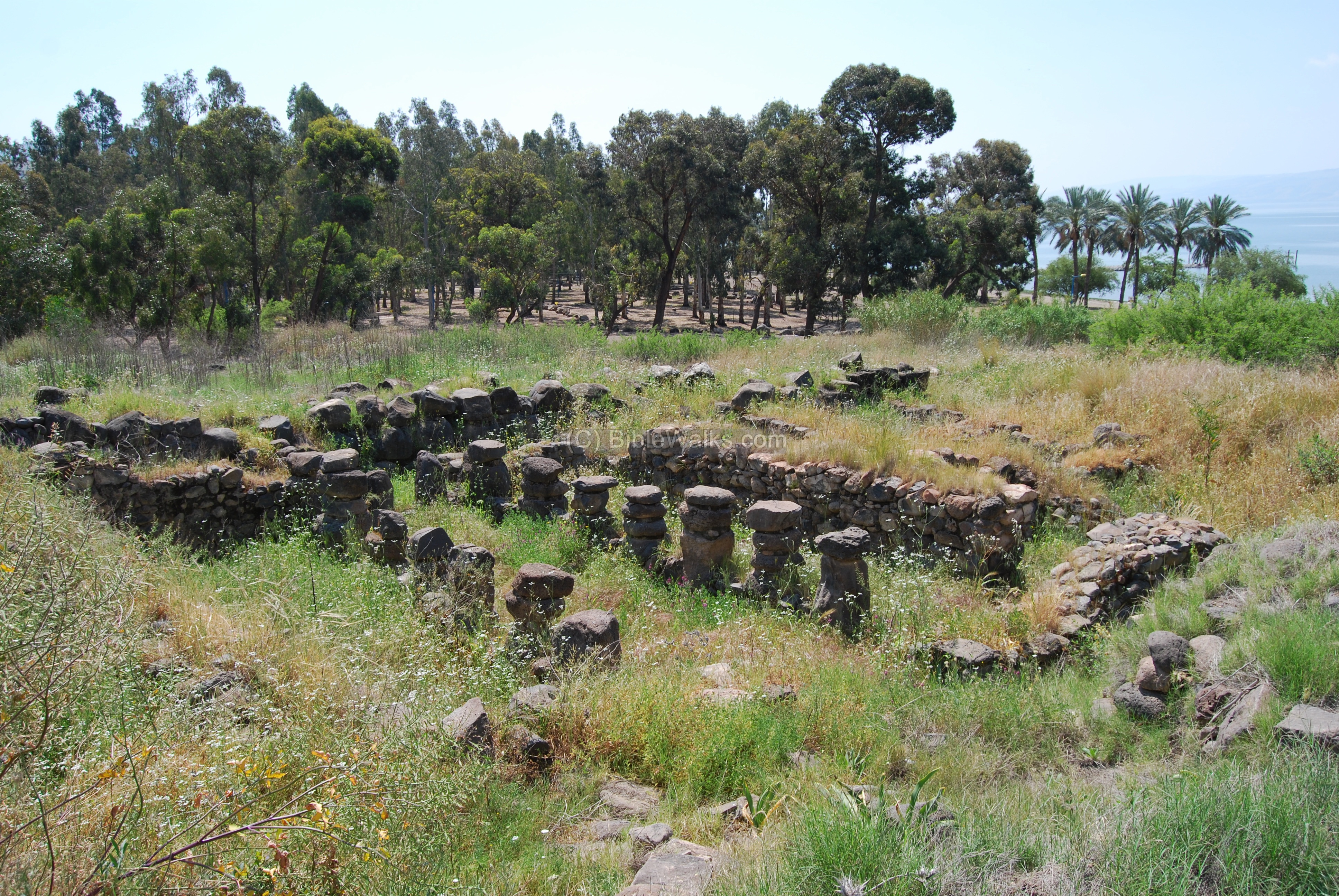
(b) The Tel:
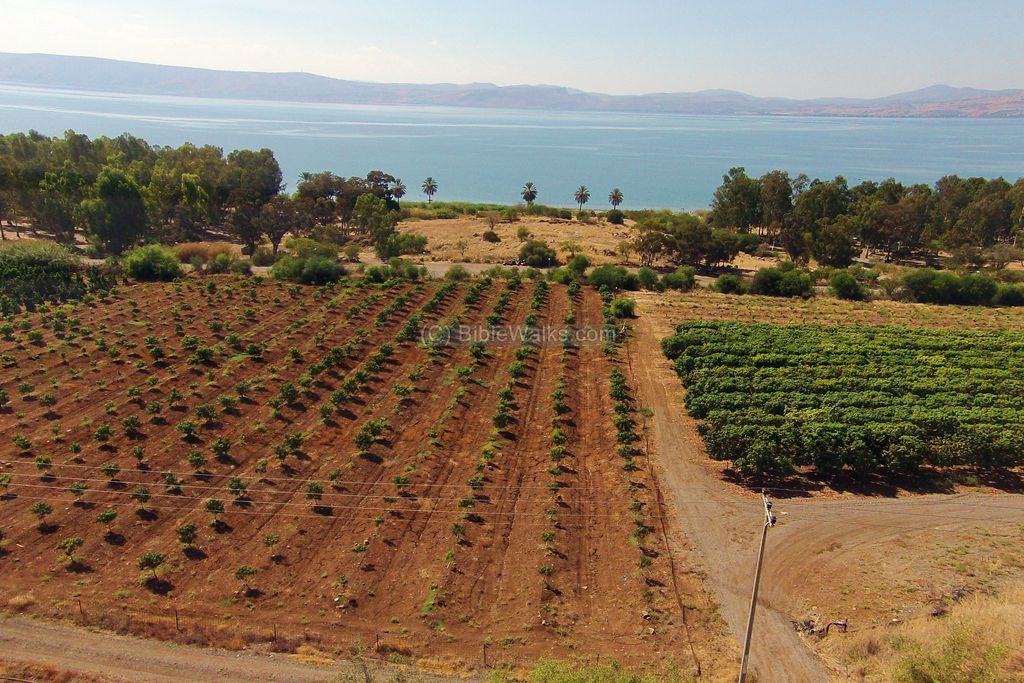
The photo below shows a view of the ruins on the Tel, and the Sea of Galilee in the background.
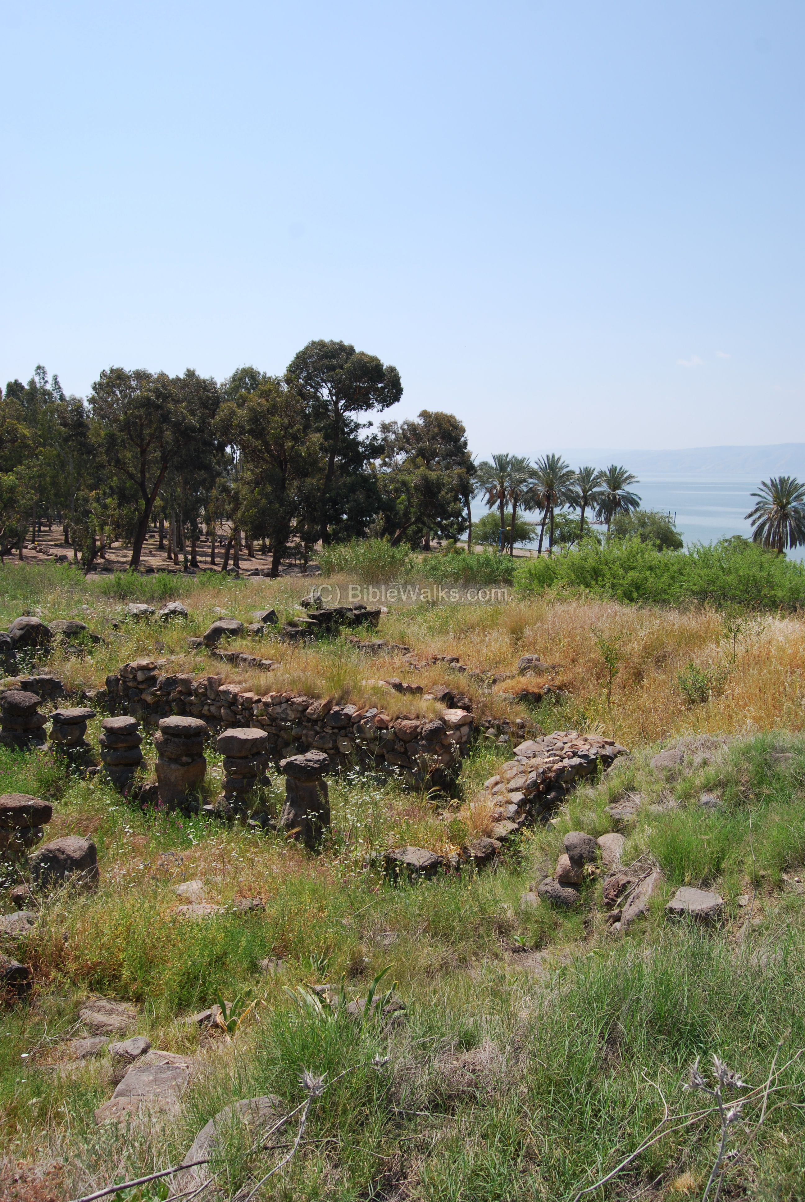
A view towards the west shows reconstructed walls of the Iron age houses.

Another view of the site is seen below. The row of pillars were used as inner space dividers of the Iron Age structures.
A panoramic view of the east and south side of the Tel is seen below.

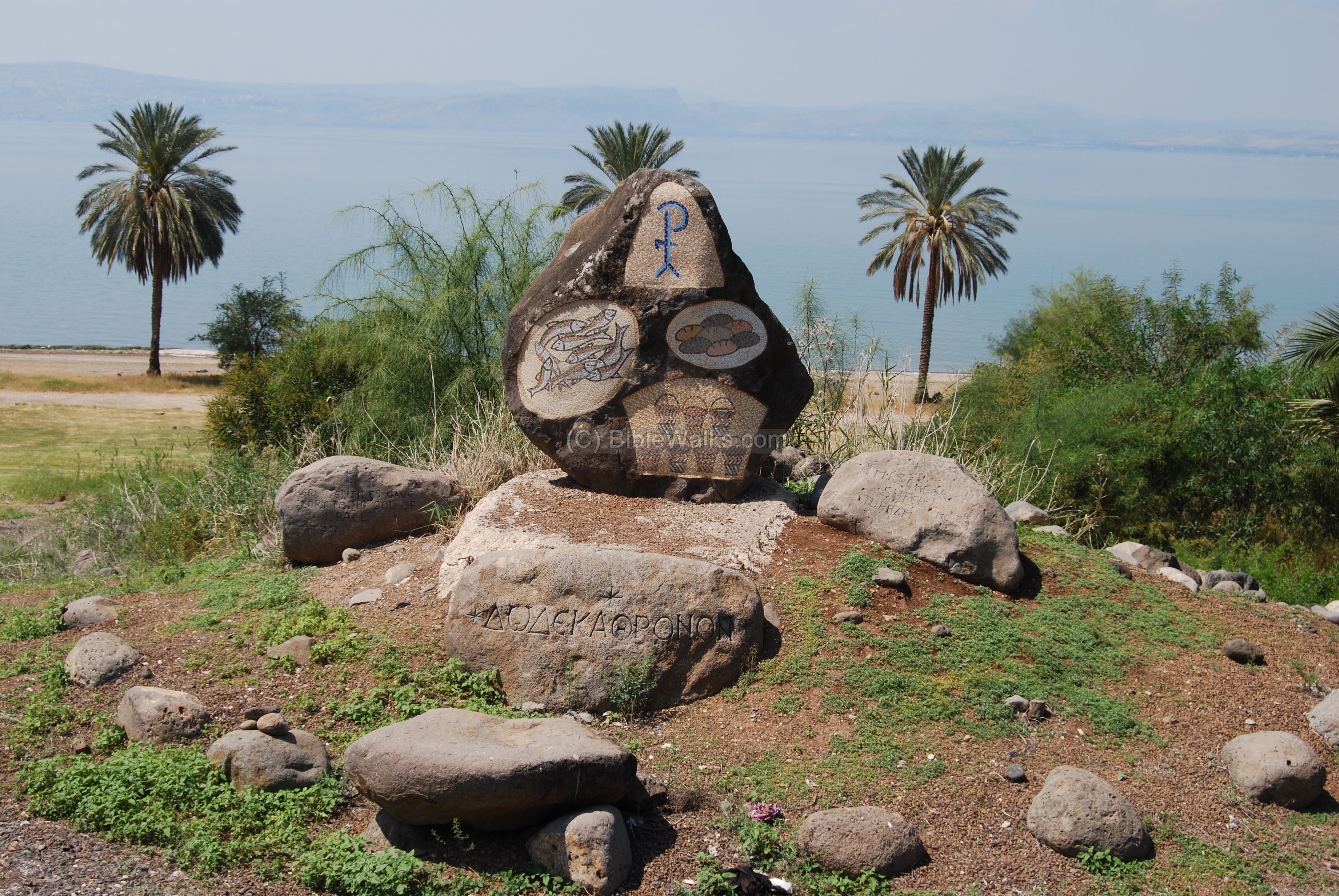
(b) The miracle of Jesus:
On the west side of the Tel is a modern monument that commemorates the place of the miracle. The pictures show the seven loaves of bread, the seven baskets that the disciples filled with leftovers after the meal, and the small fish.
The Greek word (“Dodeka Thronon”) inscribed on the stone means “Twelve thrones” , a passage from Matthew 19:28 referring to the 12 apostles: “And Jesus said unto them, Verily I say unto you, That ye which have followed me, in the regeneration when the Son of man shall sit in the throne of his glory, ye also shall sit upon twelve thrones, judging the twelve tribes of Israel”.
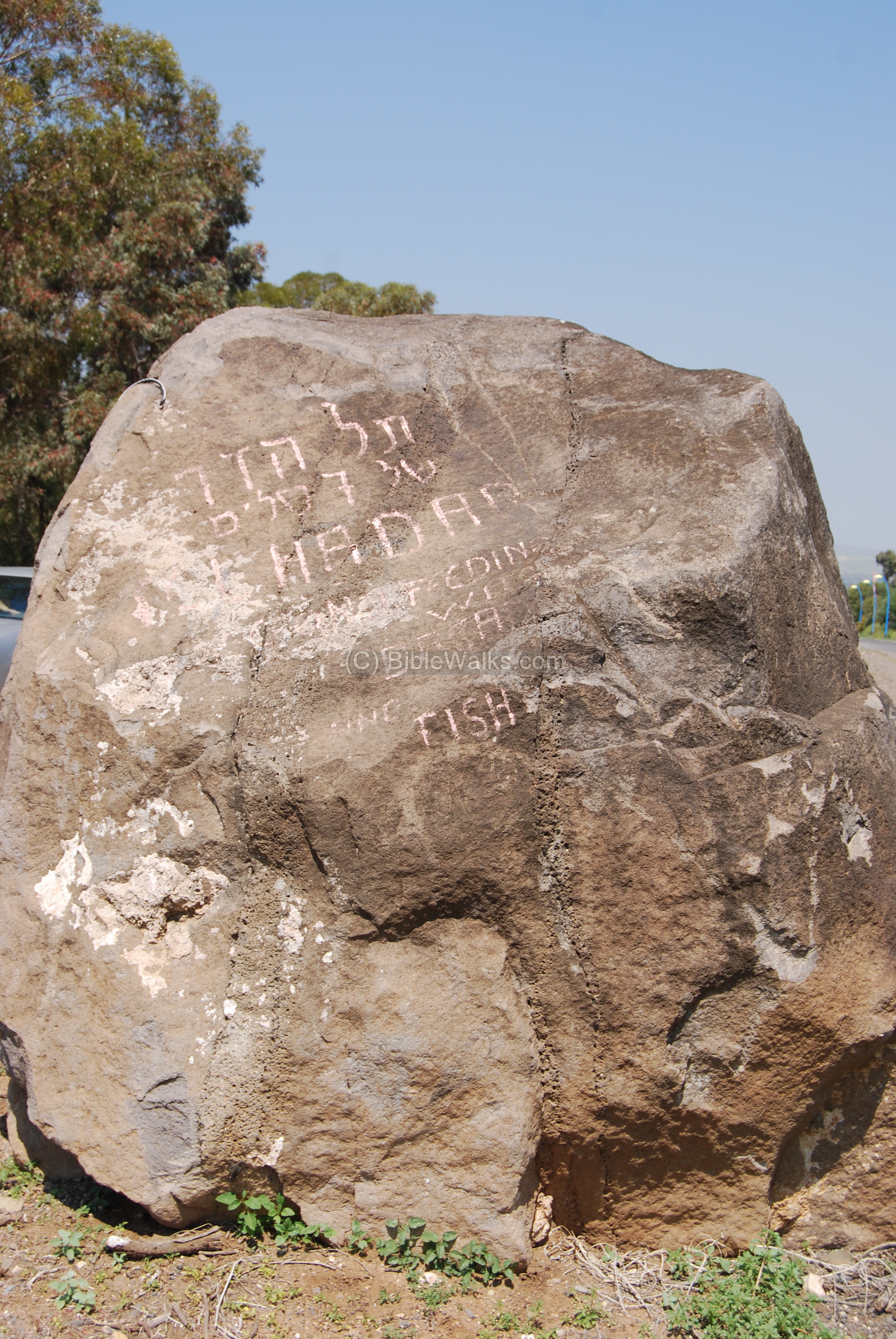
A heavy rock has been placed in the parking lot to mark the site of the miracle. It reads in Hebrew: “Tel Hadar of the 7 loaves”.
(c) The Lake side:
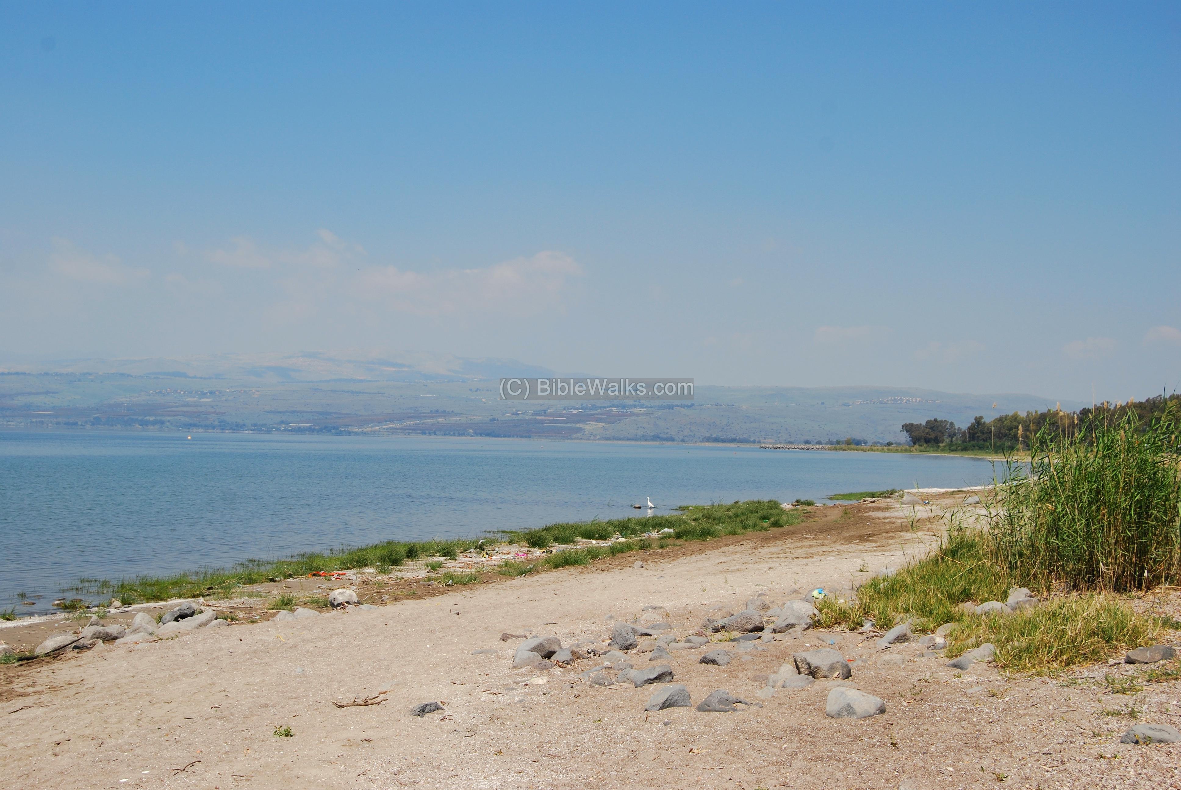
This is the view of the western side of Tel, as seen from the the public beach.
A view of the north side of the Sea of Galilee. In the far background, along the shores of the lake, is the area of Bathsaida on the center side and Capernaum on the far left side.
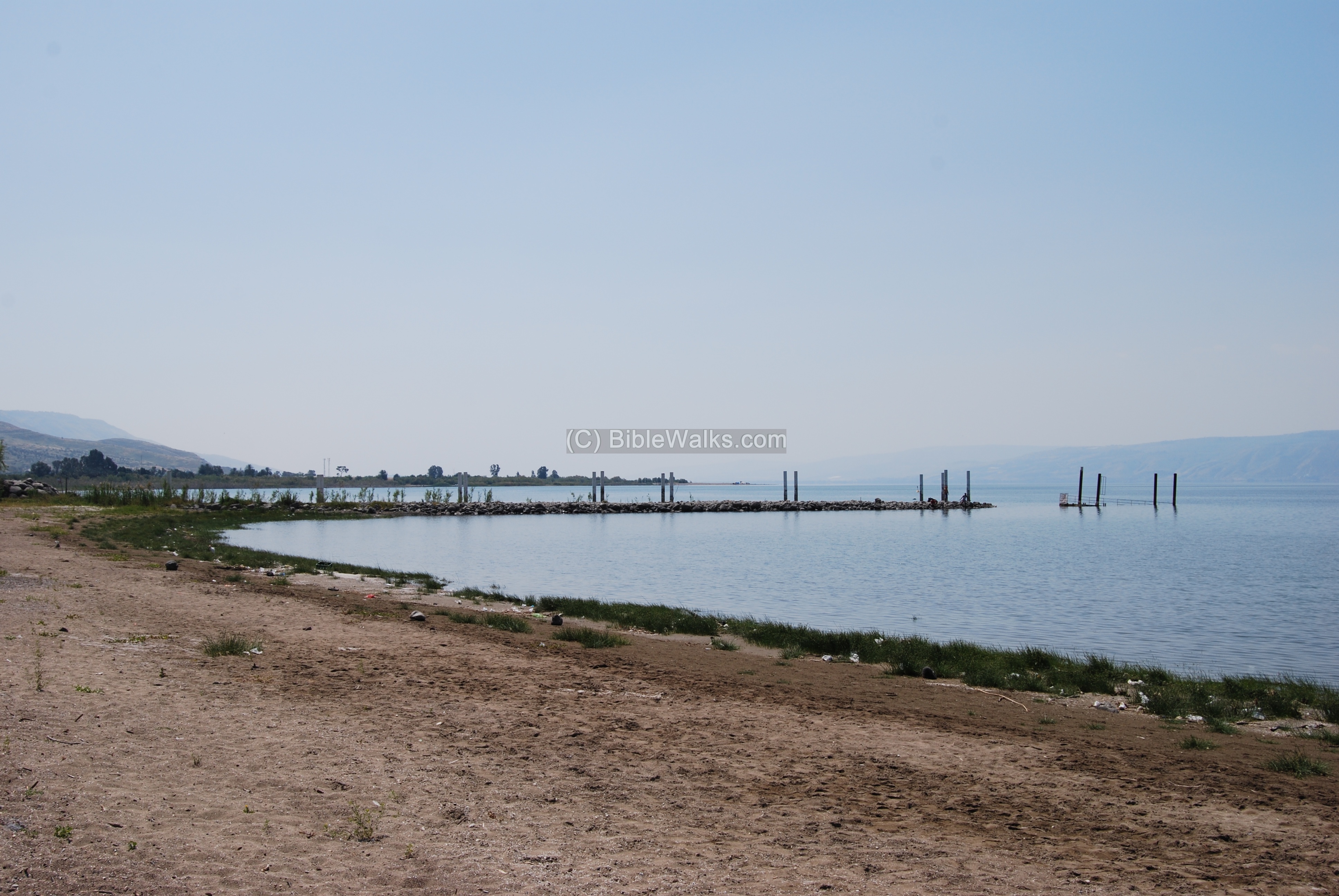
The photo below shows a view towards the south of the lake. The pier is part of the Luna-Gal beach. The green trees in the left background are the beach of Kursi – the traditional site of another miracle and landing site of Jesus.
Biblical References:
These texts describe the miracle of the second feeding of the multitude.
(a) Mark 8: 1-10:
“In those days the multitude being very great, and having nothing to eat, Jesus called his disciples unto him, and saith unto them, I have compassion on the multitude, because they have now been with me three days, and have nothing to eat: And if I send them away fasting to their own houses, they will faint by the way: for divers of them came from far. And his disciples answered him, From whence can a man satisfy these men with bread here in the wilderness? And he asked them, How many loaves have ye? And they said, Seven. And he commanded the people to sit down on the ground: and he took the seven loaves, and gave thanks, and brake, and gave to his disciples to set before them; and they did set them before the people. And they had a few small fishes: and he blessed, and commanded to set them also before them. So they did eat, and were filled: and they took up of the broken meat that was left seven baskets. And they that had eaten were about four thousand: and he sent them away. And straightway he entered into a ship with his disciples…”.
(b) Matthew 16: 5-12:
“And when his disciples were come to the other side, they had forgotten to take bread. Then Jesus said unto them, Take heed and beware of the leaven of the Pharisees and of the Sadducees. And they reasoned among themselves, saying, It is because we have taken no bread. Which when Jesus perceived, he said unto them, O ye of little faith, why reason ye among yourselves, because ye have brought no bread? Do ye not yet understand, neither remember the five loaves of the five thousand, and how many baskets ye took up? Neither the seven loaves of the four thousand, and how many baskets ye took up? How is it that ye do not understand that I spake it not to you concerning bread, that ye should beware of the leaven of the Pharisees and of the Sadducees? Then understood they how that he bade them not beware of the leaven of bread, but of the doctrine of the Pharisees and of the Sadducees”.
Etymology (behind the name):
- Hadar – in Hebrew: Glory.
- Tel (Tel) – in Hebrew: mound; commonly accumulated layers of ruins of cities from the Bronze and Iron ages (read about the story of the Tels)
- Tel Hadar – this modern Hebrew name is based on the Arabic name of this place – Sheikh-Khadr.
- Ramot – from Hebrew – heights. This is the name of the agriculture settlement located east to Tel Hadar, established in 1969.
Links and References:
- Luna Gal and Hof-Dugit – home page (Hebrew)
- Notes and News On Tel Hadar : IEJ 44 [1994] pp. 136-140
- Check out our new pictorial presentation of the footsteps of Jesus. The second feeding of the multitude event is event #60.
BibleWalks.com – walk with us through the sites of the Holy Land
Hammat Tiberias <<<–previous Sea of Galilee site—<<<All Sites>>> –>>> Job’s spring and cave
This page was last updated on Mar 3, 2017 (Added Google map, several changes)
Sponsored links: